
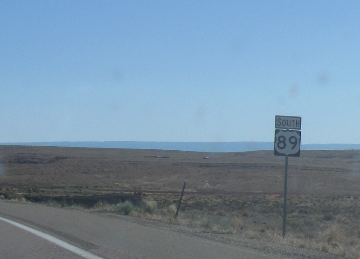
AMP: 524
Location: US-89 and US-89A, Coconino Cty
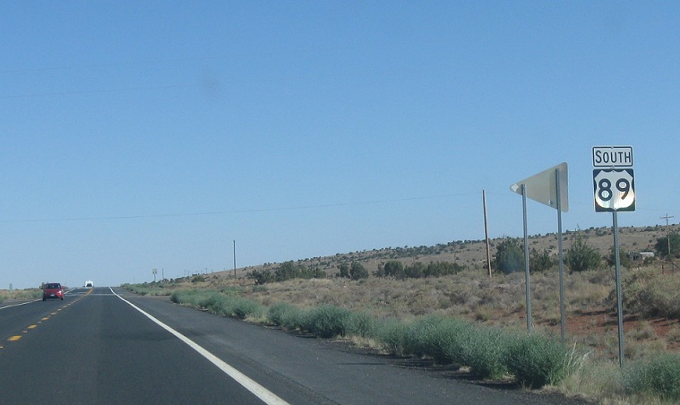
Reassurance shield after US-89A rejoins
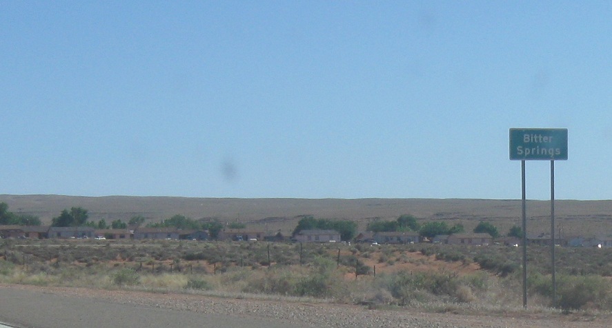
AMP: 523
Location: US-89 and US-89A, Bitter Springs, Coconino Cty
Less than a mile after US-89A, we’ll approach the village of Bitter Springs
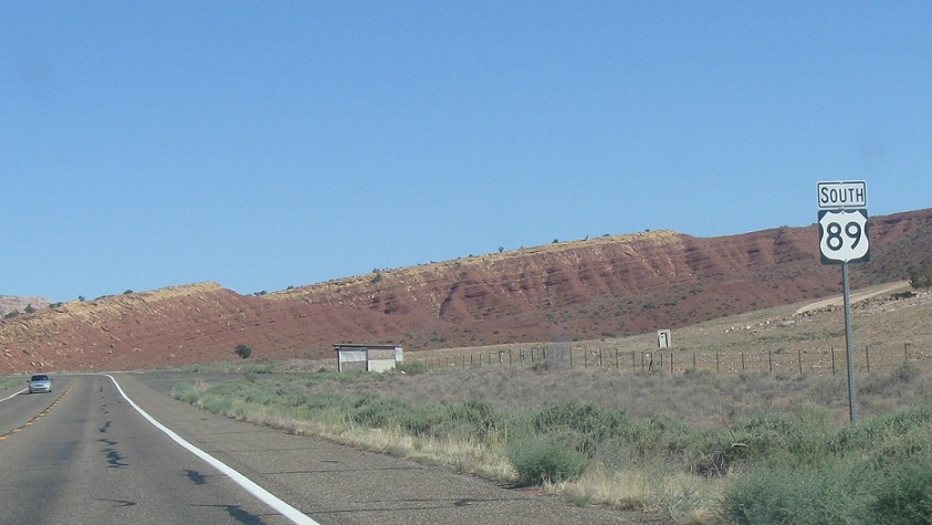
AMP: 523
Location: US-89 and Bitter Springs Rd, Coconino Cty
Reassurance shield after Bitter Springs
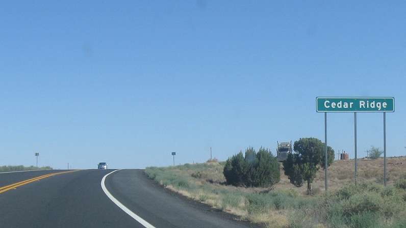
AMP: 510
Location: US-89 and Cedar Ridge Rd, Cedar Ridge, Coconino Cty
Several miles later, we’ll approach Cedar Ridge, which is basically nothing.
AMP : 510
Location: US-89 and Cedar Ridge Rd, Coconino Cty
Reassurance shield as we head out of Cedar Ridge
AMP: 498
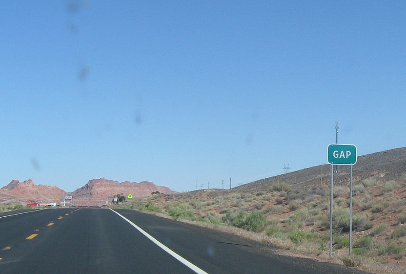
Location: US-89 and Indian 20, Gap, Coconino Cty
Several miles later, we’ll approach Gap, which should be called Gas because all it is is a gas station
AMP: 498
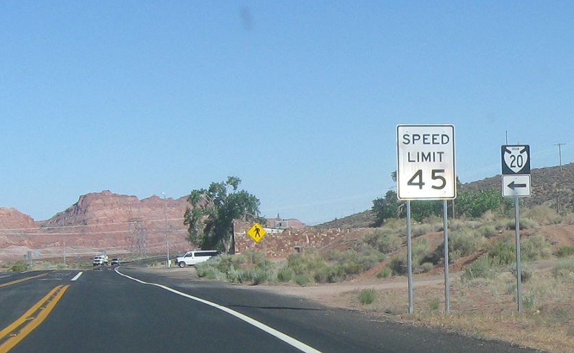
Location: US-89 and Indian 20, Gap, Coconino Cty
Turn left for Indian 20
AMP: 497
Location: US-89 and Indian 20, Coconino Cty
As we leave Gap, we’re 17 miles from US-160
AMP: 487
Location: US-160 and Indian 23, Coconino Cty
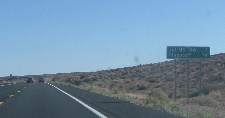
As we pass a backroad to Tuba City, we’re 7 miles from US-160
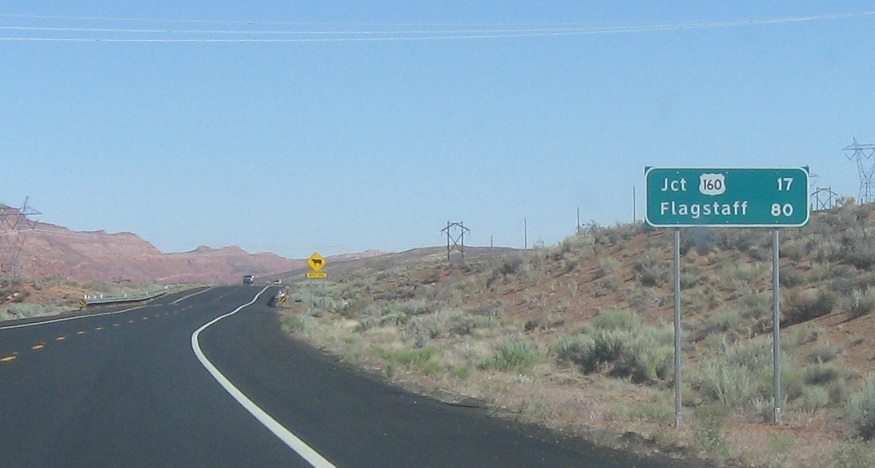
AMP: 481
Location: US-89 and US-160, Coconino Cty
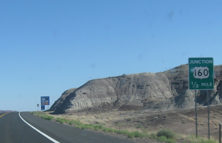
Several miles later, we’re half a mile from US-160
AMP: 480
Location: US-89 and US-160, Coconino Cty
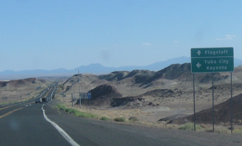
Follow 160 to Tuba City and Kayenta. 160, combined with SR 264 is the major east west corridor on the Navajo rez. Stay straight for 89 to Flagstaff
AMP: 480
Location: US-89 and US-160, Coconino Cty
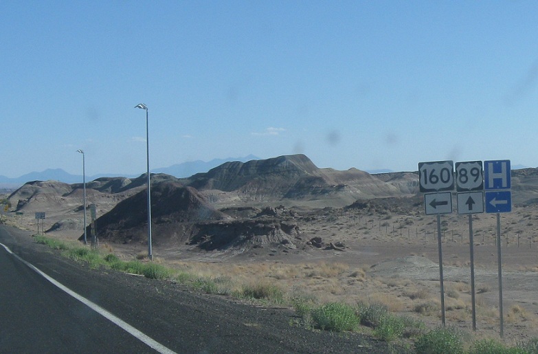
Follow 160 east to southeastern Missouri. Stay on 89 for Flagstaff.


