
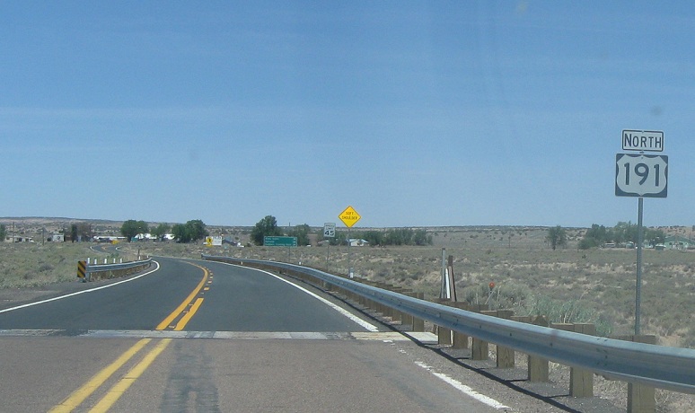
AMP: 374
Location: US-191 and I-40, Apache Cty
Reassurance shield after the I-40 split as we begin a long, desolate drive north to Chinle and Utah
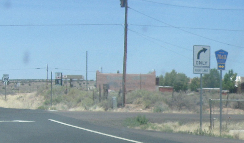
AMP: 374
Location: US-191 and CR 7060, Apache Cty
Just after I-40, we’ll approach CR 7060/Route 66
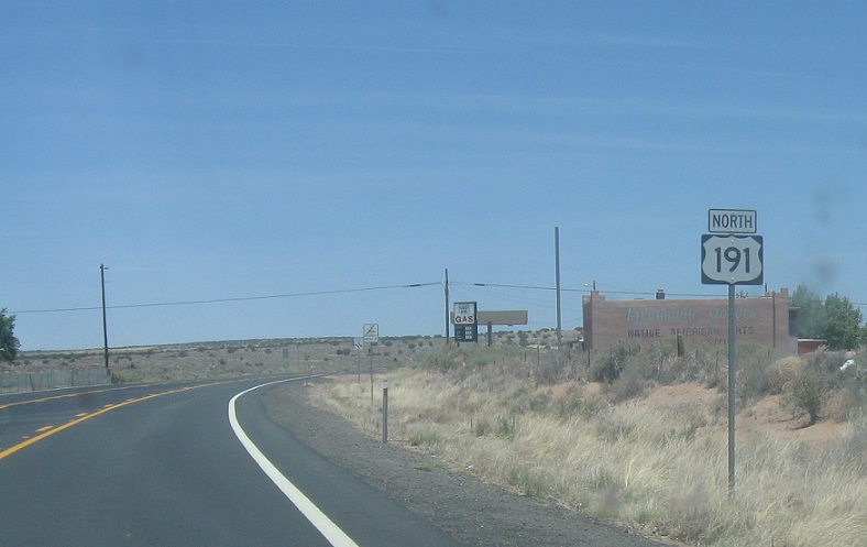
AMP: 374
Location: US-191 and CR 7060, Apache Cty
Reassurance shield after Route 66
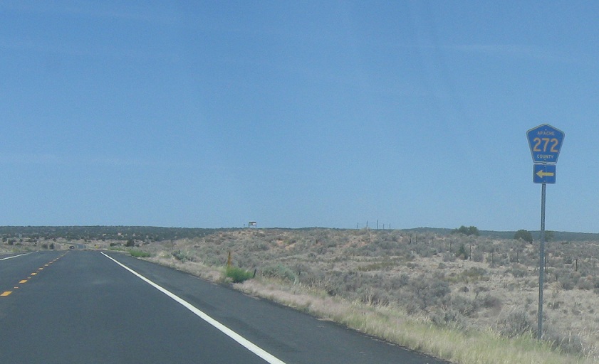
AMP: 380
Location: US-191 and CR 272, Apache Cty
Reassurance shield as we near the entrance to the rez again
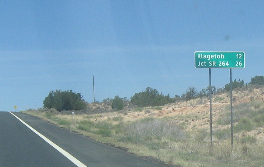
AMP: 385
Location: US-191 and Burntwater Rd, Apache Cty
About 7 miles into the reservation, we’re 26 miles from SR 264
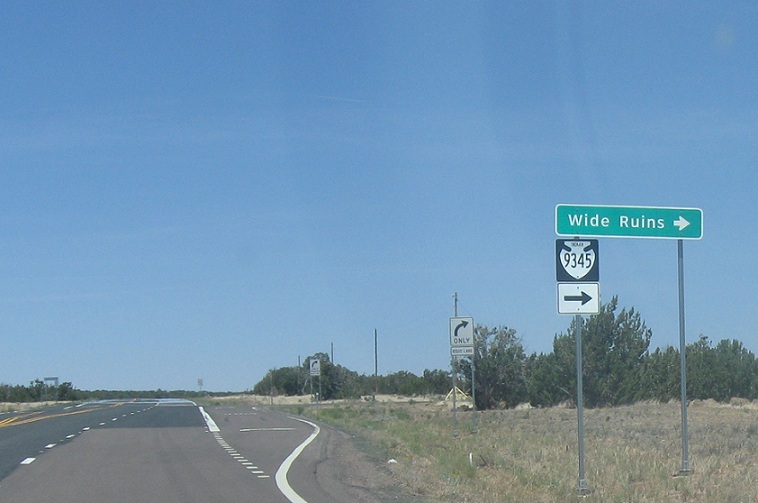
AMP: 391
Location: US-191 and IR 9345, Apache Cty
A few miles later, we’ll approach Indian 9345, which serves the Wide Ruins

AMP: 395
Location: US-191 and Grey Valley Rd, Apache Cty
A couple miles later, we’ll approach 424/Grey Valley Rd
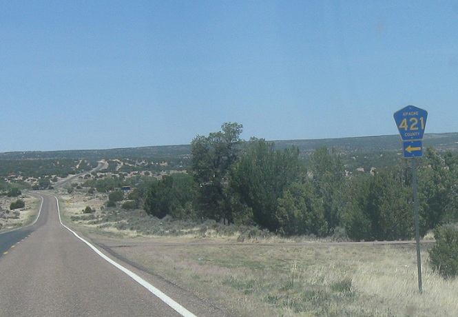
AMP: 396
Location: US-191 and CR 421, Apache Cty
Turn left for 421, which heads back to Grey Valley Rd
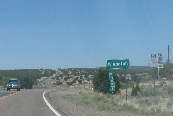
AMP: 397
Location: US-191 and Indian 28, Klagetoh, Apache Cty
A couple miles later, we’ll approach unincorporated Klagetoh
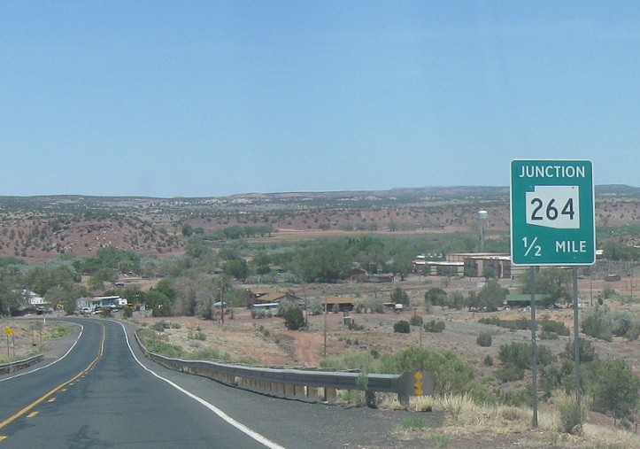
AMP: 411
Location: US-191 and SR 264, Apache Cty
Several miles after that, we’ll approach 264 on the west edge of Ganado
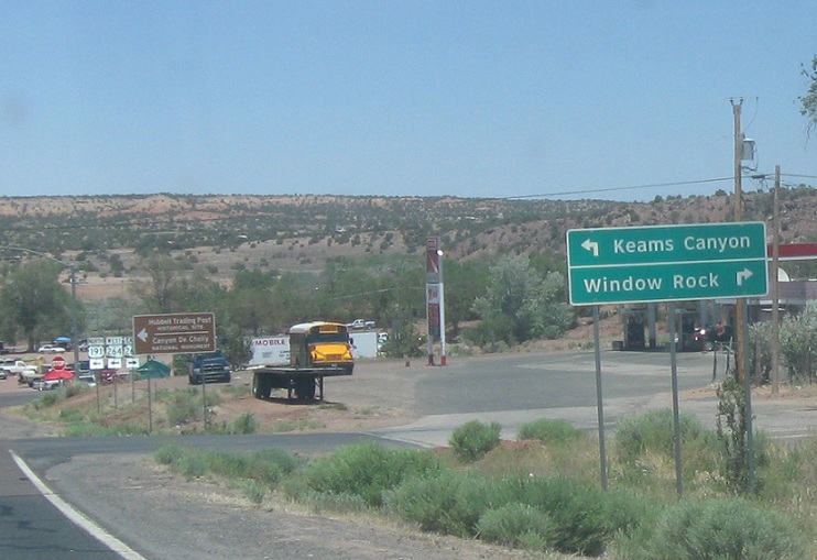
AMP: 411
Location: US-191 and SR 264, Ganado, Apache Cty
Follow 264 east to the rez headquarters at Window Rock and 264 west to Keams Canyon and Hopi country

AMP: 411
Location: US-191 and SR 264, Ganado, Apache Cty
Turn right for 264 east and left for 191 north and 264 west, which concur for about five miles

 W to US-191, E to NM-264/NM State Line

