MP: 19.92
Location: O’Sullivan Dam Rd and Rd M SE, Grant Cty
No reassurance shield at the beginning of the route, but there is one 5 miles in.
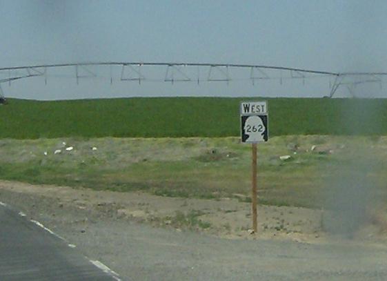
MP: 12.54
Location: O’Sullivan Dam Rd and Highland Dr SE, Grant Cty
The Potholes area is quite interesting as a large man-made lake in the middle of flat sagebrush/farm nothingland. It’s actually quite beautiful and pretty congested. This reassurance shield as we pass the entrance to Potholes State Park to begin the move back west to Othello
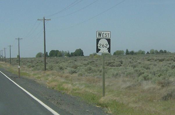
MP: 6.96
Location:Â A St SE and O’Sullivan Dam Rd, Grant Cty
SR 262 turns south onto A St, leaving the O’Sullivan Dam Rd behind. The turn is clear enough that no auxiliary signage is necessary

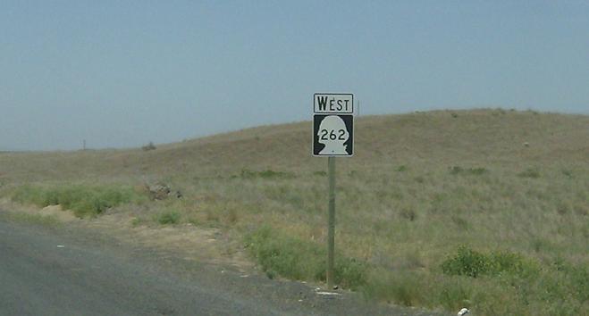
MP: 3.42
Location: A St SE and 12 SE Rd, Grant Cty
JCT SR 26 coming up in 3 miles, weird to do that instead of signing SR 262.
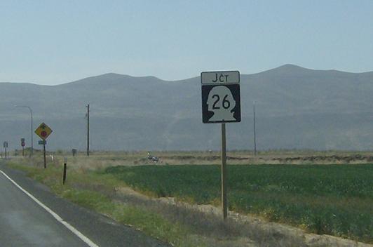
MP: .18
Location: A St SE and SR 26, Grant Cty
JCT SR 26. SR 26 is one of the main east-west thoroughfares in Washington, connecting Seattle to Pullman, Clarkston, and Lewiston ID. I’d argue it’s the most important highway signed as a state route in Eastern Washington
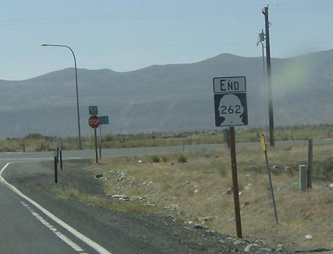
MP: .06
Location: A St SE and SR 26, Grant Cty
SR 262 ends at SR 26, which has no signage at the junction. Head west to Seattle or east to Colfax