
Last Driven May 2018
(Historic Photo: September 2007)
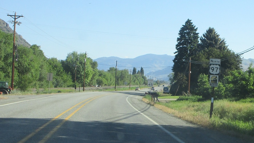
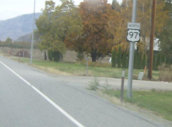
MP: 315.49
Location: S Whitcombe Ave and Winesap Ave E, Tonasket
Reassurance shield as we head out of Tonasket
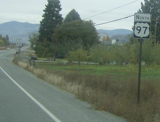
(Historic Photo: September 2007)
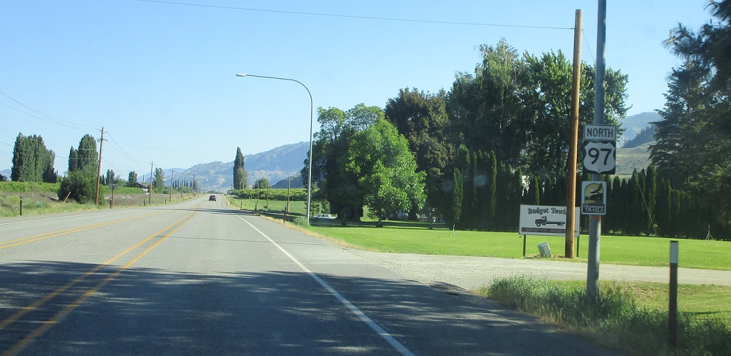
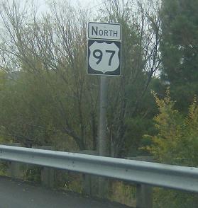
MP: 321.53
Location: US-97 and Ellisforde Bridge Rd, Ellisforde, Okanogan Cty
Reassurance shield as we pass the village of Ellisforde
(Historic Photo: September 2007)
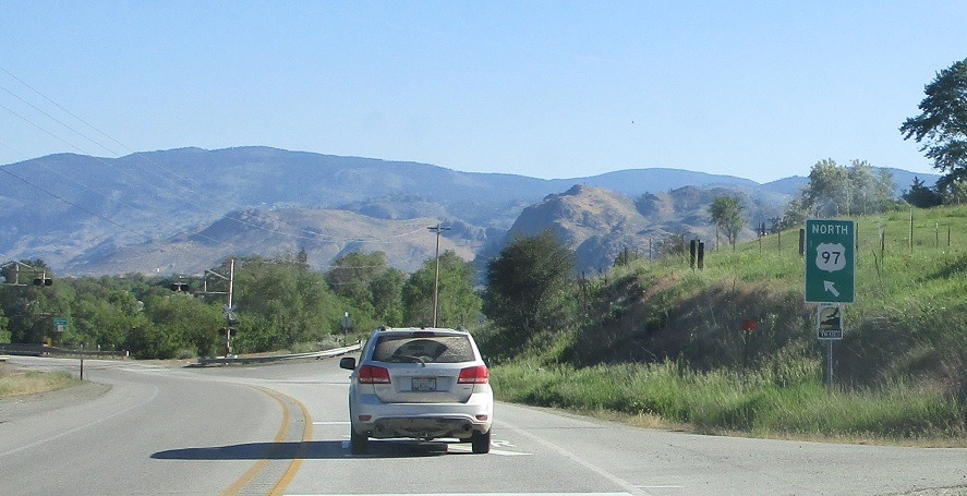
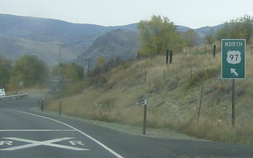
MP: 330.33
Location: US-97 and Eastside Oroville Rd, Oroville
US-97 bears left to head through Oroville and to Canada
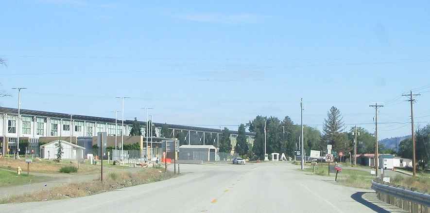
(HIstoric Photo: September 2007)
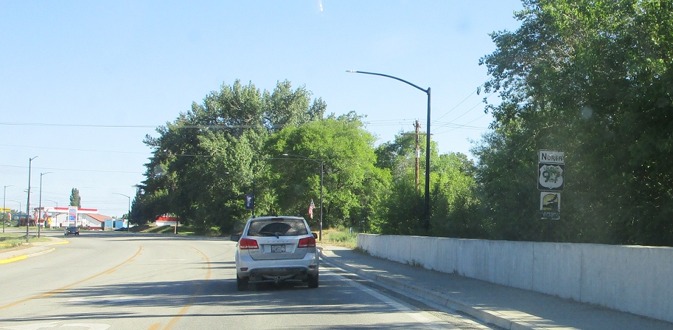
MP: 332.47
Location: Main St and 21st Ave, Oroville
The last sign before the border. Oroville seems to have two purposes. 1) Employ and house border patrol people, they’ve got a huge office with tons of squad cars. 2) Sell crap to Canadians, namely gas.
MP: 336.4
Location: US 97 and BC 97, Okanogan Cty
The BC boundary lies ahead. After crossing 97 is the longest highway in BC, forming the basis for the Alaska Highway
