
MP: .06
Location: N Head Rd and 2nd Ave SW, Ilwaco
Immediately after its junction with itself, a reassurance shield. SR 100 is signed as a loop as it is a loop.
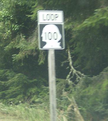
MP: .87
Location: Robert Gray Dr and Willows Rd, Ilwaco
Reassurance shield after the Willows Rd intersection
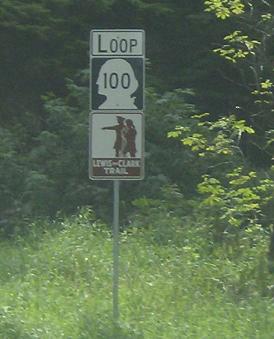
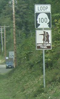
MP: 2.25
Location: Robert Gray Dr and N Head Lighthouse Rd, Ilwaco
Reassurance shield after N Head Lighthouse Rd as we enter Cape Disappointment State Park, an aptly named state park as Lewis and Clark were unable to find the Northwest Passage.
Special Note: These “Lewis and Clark Trail” signs begin somewhere on I-70 in Illinois and head west on a whole bunch of state roads roughly following the trail. This is the furthest west Lewis and Clark Trail sign, they could sign it “END Lewis and Clark Trail” but they don’t as it continues down to the historical center. It is also signed on US-30 in Oregon (on the way west they were in Washington, east they went through Oregon), but Oregon doesn’t ever come this far west.
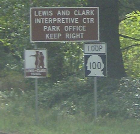
MP: 2.89
Location: Robert Gray Dr and Ft Canby Rd, Ilwaco
Keeping right takes you onto SR 100 SPUR, a quick spur to the Coast Guard station. Unfortunately, the signage makes it appear that mainline 100 proceeds right too, which is not true.

 E to Fort Canby Lifesaving Station
