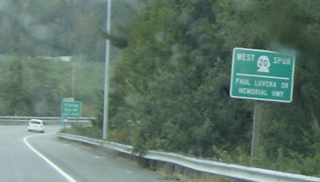
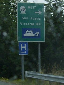
MP: 47.92
Location: SR 20 and SR 20 SPUR, Anacortes
Reassurance shield after the beginning of the route. Note how it is signed as “West” and “Spur”
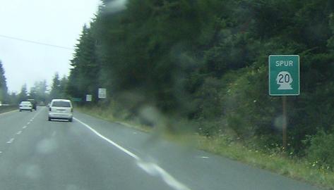
MP: 48.33
Location: SR 20 SPUR and Fidalgo Bay Rd, Anacortes
Reassurance shield after Fidalgo Bay Rd. Note how now it is just signed “Spur”
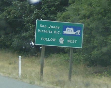
MP: 50.11
Location: SR 20 SPUR and R Ave, Anacortes
Now it is signed as SR 20 West. For tourists, who I imagine are many of the people traveling to the San Juan Ferry Terminal, this could be quite confusing, this “Spur/West” alternation. If I’m a tourist, and told to follow 20 West, if I see a sign that says 20 Spur, I’m probably going to assume its a different route.
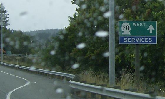
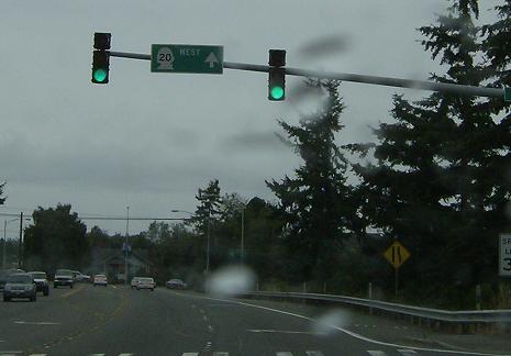
MP: 50.35
Location: 36th St and R Ave, Anacortes
Signed as 20 west now, proceed straight.
MP: 50.47
Location: 36th St and R Ave, Anacortes
Straight for SR 20 west, consistent so far
MP: 50.55
Location: 36th St and Commercial Ave, Anacortes
SR 20 SPUR turns right on Commercial Ave to head through town, consistent signage so far
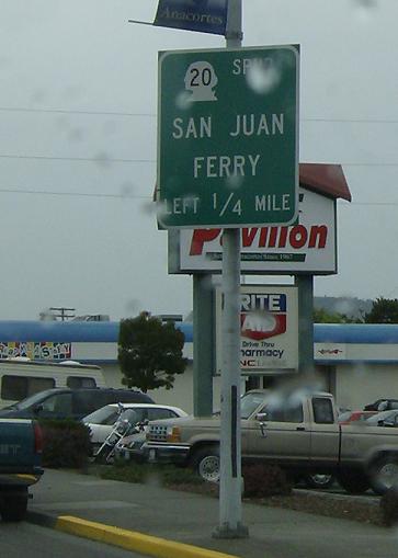
MP: 51.7
Location: Commercial Ave and 12th St, Anacortes
SR 20 SPUR turns left on 12th St. They save themselves by signing “San Juan Ferry” as a control destination, but the switch up on the directions.
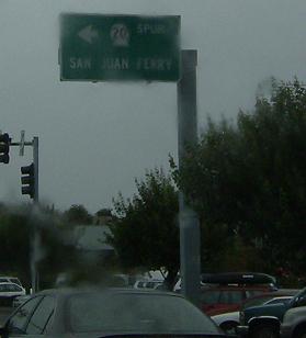
MP: 51.89
Location: Commercial Ave and 12th St, Anacortes
SR 20 SPUR turns left. Banner routes are rare in Washington
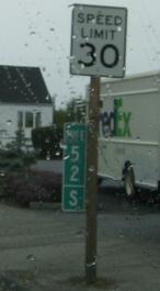
MP: 52
Location: 12th St and O Ave
WSDOT signs banner routes mileposts with an “S” at the bottom, but in route logs omits that.
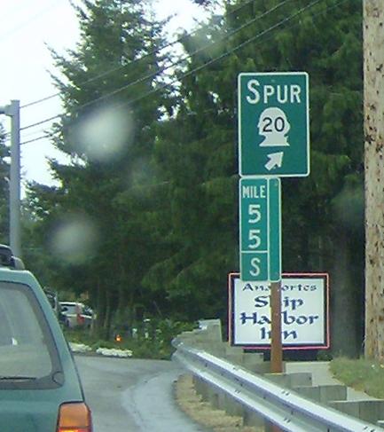
MP: 55
Location: Oakes Ave and Sunset Ave, Anacortes
SR 20 SPUR bears right, heads down to the ferry terminal
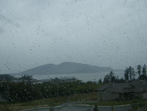
MP: 55.67
Location: Anacortes Ferry Terminal, Anacortes
The Anacortes Ferry Terminal in the distance.