
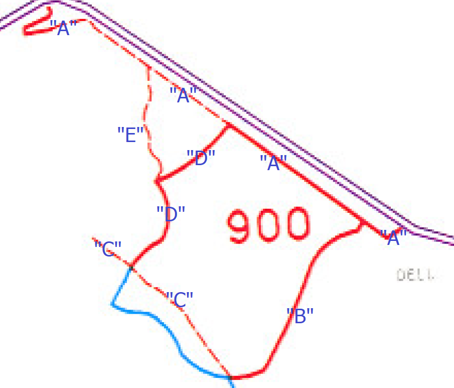
Note: No official documentation calls this Segment “E” – this is a term used for purposes of categorization/organization on this website. State Route 900 is a Statewide Public Safety Highway defined here and this is a map of how I’ve designated the segments for purposes of this website.
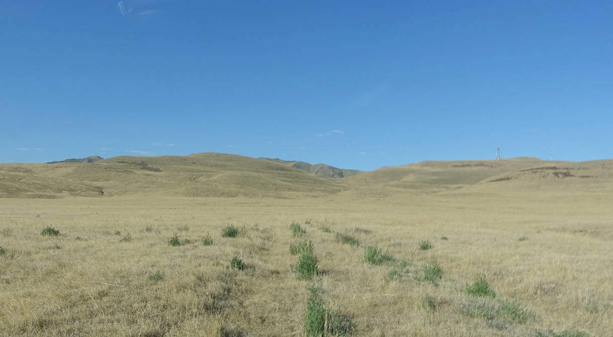
Location: SR-901 E and SR-901 A, Tooele Cty
SR-901 E begins with a road barely visible.
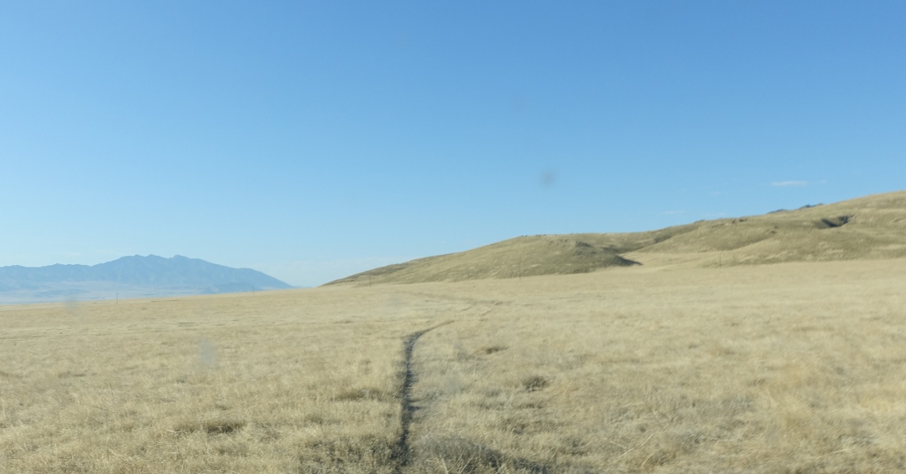
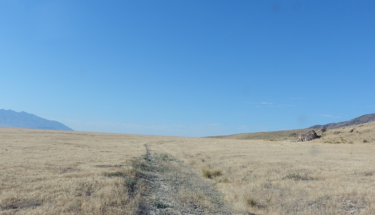
Location: SR-901 E, Tooele Cty
We’ll bend slightly to the northeast, with some evidence of a road. This is kind of weird driving because you’re on a hill above I-80 and very visible.
Location: SR-901 E, Tooele Cty
More driving uphill.
Location: SR-901 E, Tooele Cty
Turning back towards the east.
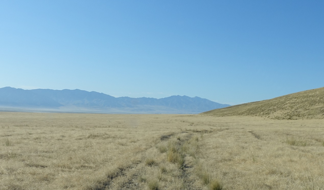
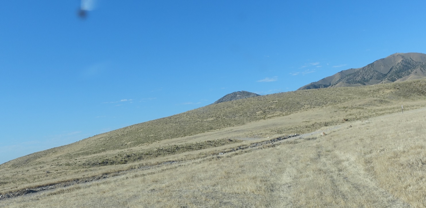
Location: SR-901 E, Tooele Cty
A…road, sort of?
Location: SR-901 E and SR-901 D, Tooele Cty
Just after that, we’ll approach Segment D, though E doesn’t get an actual approach. Turn left to head back down to the frontage road and right to continue up to Segment C.

