
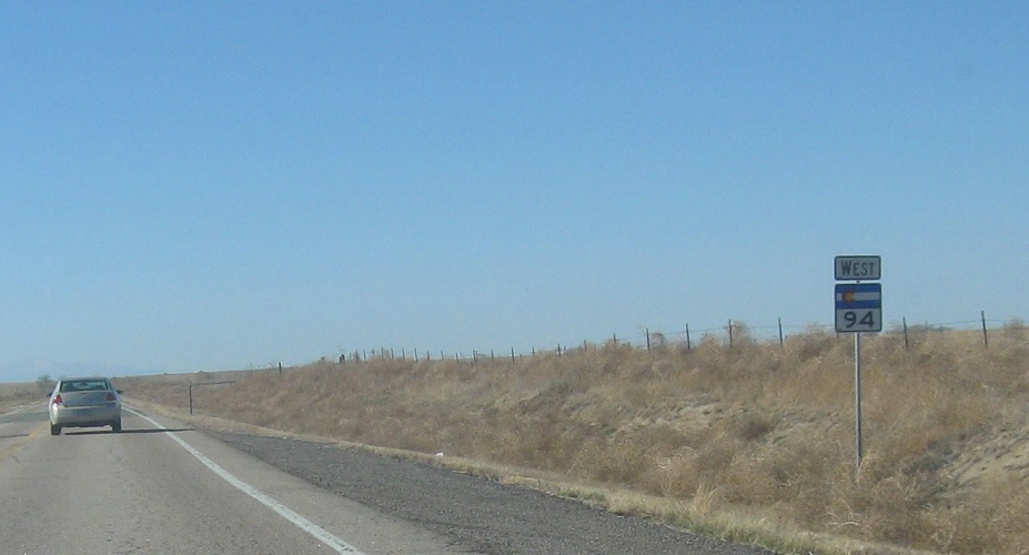
Location: SH-94 and SH-71, Lincoln Cty
Reassurance shield after SH-71.
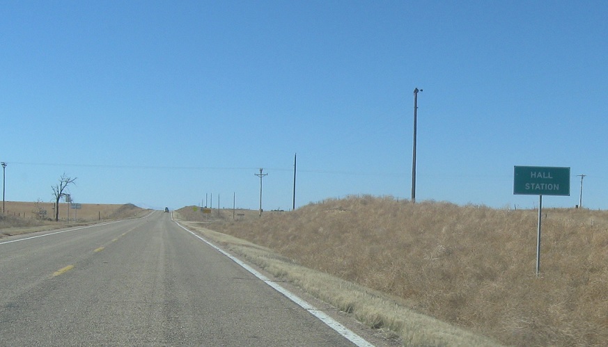
Location: SH-94 and CR 16, Hall Station, Lincoln Cty
A couple miles later, we’ll pass Hall Station, which is nothing.
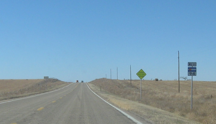
Location: SH-94 and CR 16, Lincoln Cty
Reassurance shield as we head out of Hall Station, whatever that is.
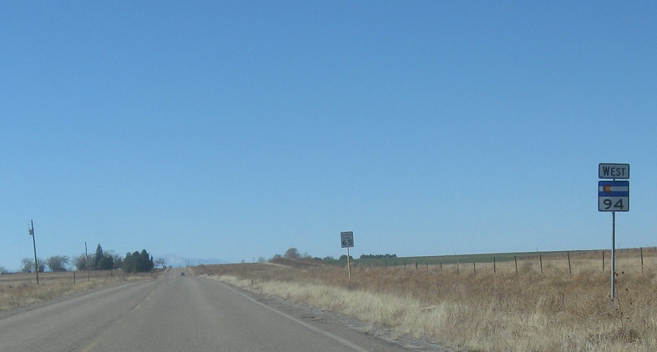
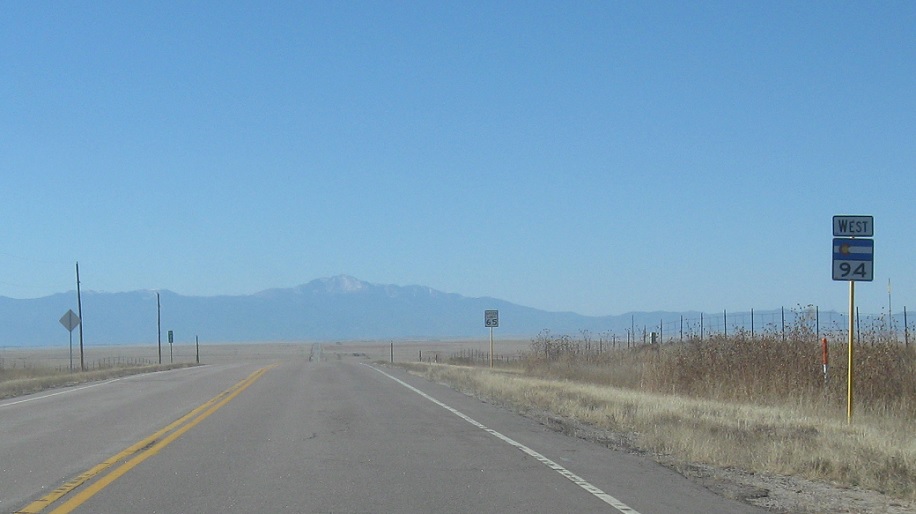
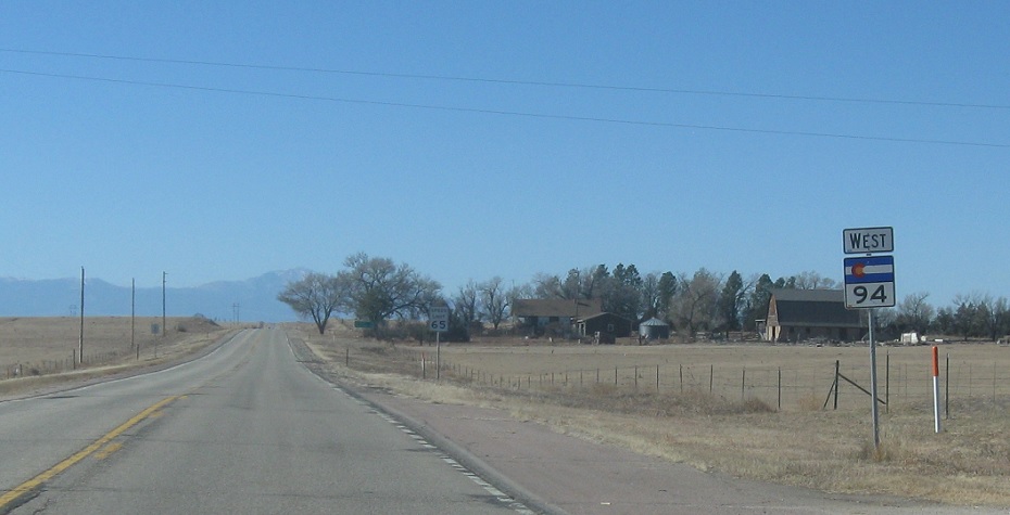
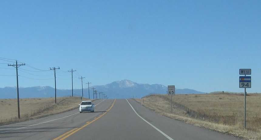
Location: SH-94 and Kendrick Rd, El Paso Cty
Reassurance shield as we cross into El Paso County and Pikes Peak comes into view.
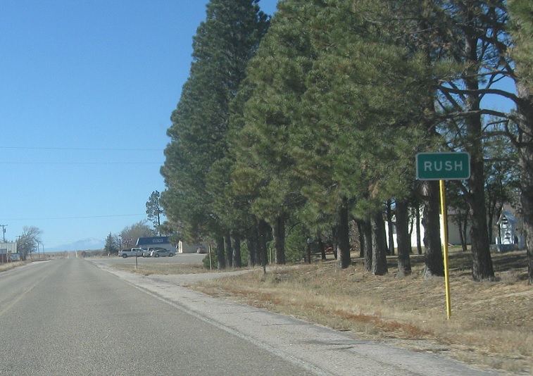
Location: SH-94 and Rush Rd, Rush, El Paso Cty
Shortly after we enter El Paso County, we’ll pass by unincorporated Rush.
Location: SH-94 and Rush Rd, El Paso Cty
Reassurance shield as we head out of Rush.
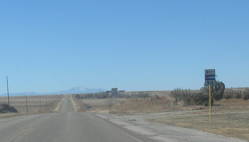
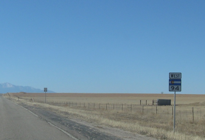
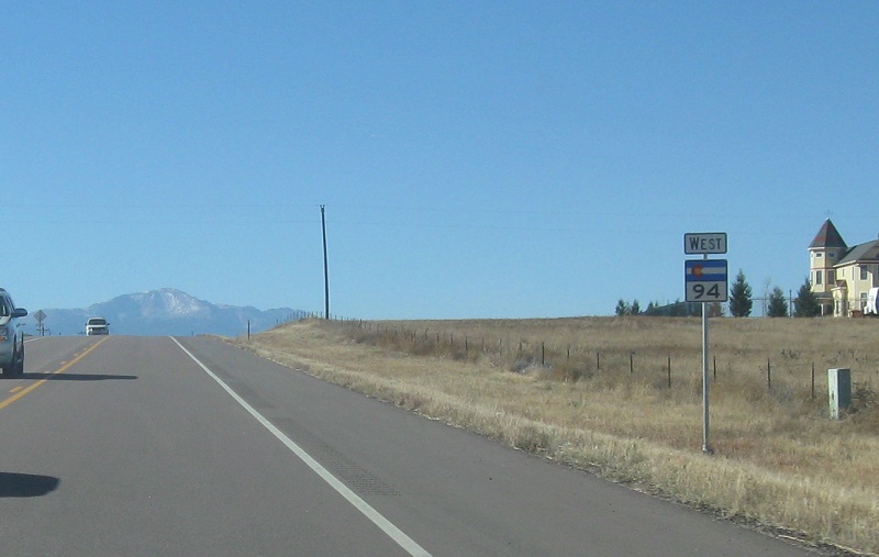
Location: SH-94 and Ramah Hwy, El Paso Cty
Reassurance shield a few miles later. The road is still straight and boring, but it’s kind of fun to watch the mountains emerge.
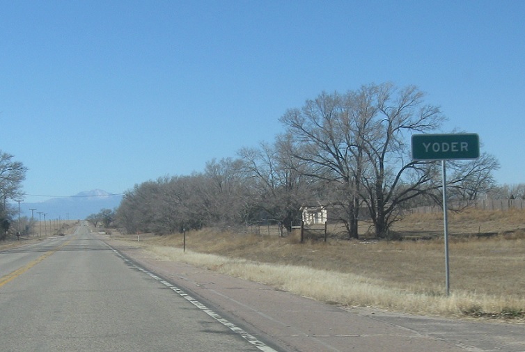
Location: SH-94 and Yoder Rd, Yoder, El Paso Cty
Shortly thereafter, we’ll enter Yoder.
Location: SH-94 and Yoder Rd, El Paso Cty
Reassurance shield as we head out of Yoder.
Location: SH-94 and Calhan Hwy, El Paso Cty
Reassurance shield a few miles later.
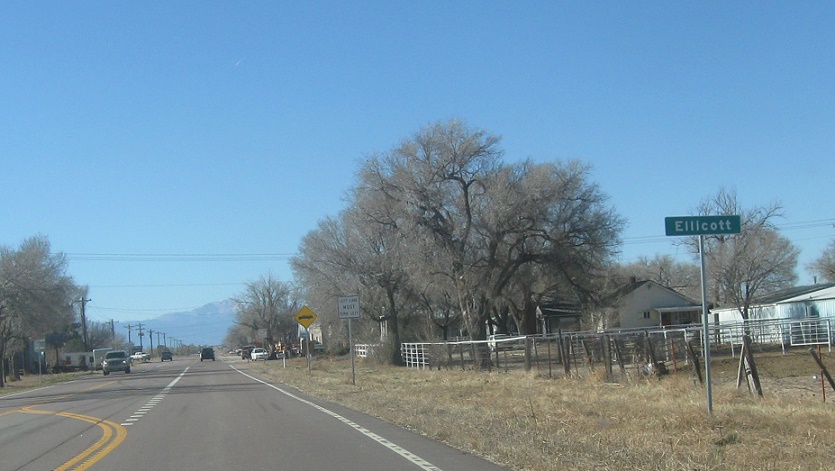
Location: SH-94 and Ellicott Rd, Ellicott, El Paso Cty
Just after that, we’ll pass by unincorporated Ellicott.
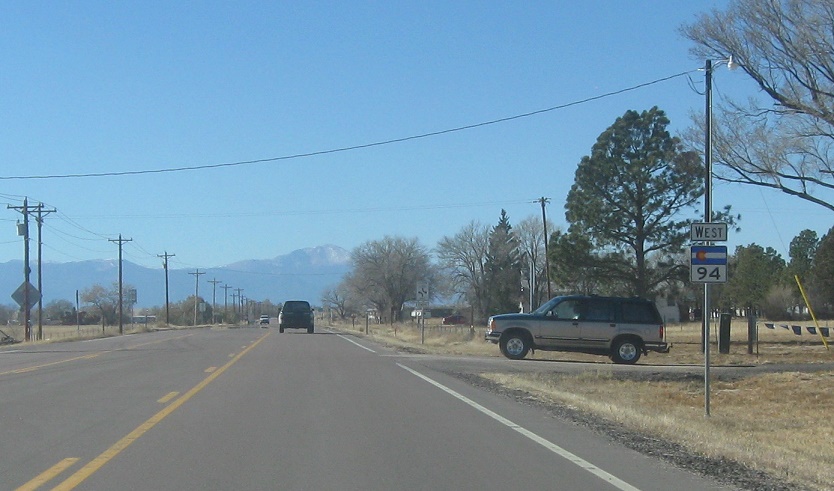
Location: SH-94 and Ellicott Hwy, Ellicott
Reassurance shield as we pass through Ellicott.
Location: SH-94 and Log Rd, El Paso Cty
Reassurance shield as the speed limit goes back up.
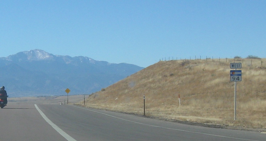
Location: SH-94 and Peyton Hwy, El Paso Cty
Reassurance shield a couple miles later.
Location: SH-94 and Blaney Rd, El Paso Cty
Reassurance shield as we make our final descent into Colorado Springs.
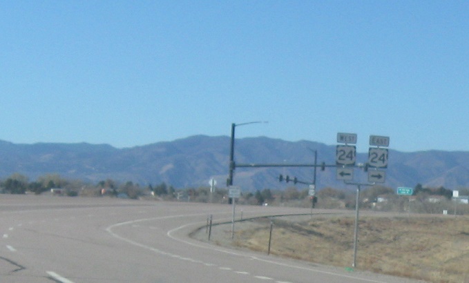
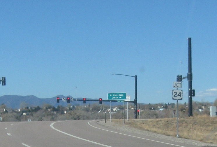
Location: SH-94 and US-24, Colorado Springs
About a mile later, we’ll approach US-24.
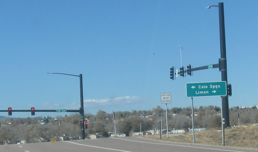
Location: SH-94 and US-24, Colorado Springs
This sign and the last one are out of order.
Location: SH-94 and US-24, Colorado Springs
Follow 24 west into C-Spgs. Take 24 east back through nothing to Limon.

 W to CO-21, E to I-70 Bus/US-40/US-287/US-24 Spur
 N to I-70 Bus/US-24/US-40/US-287, S to CO-96
