
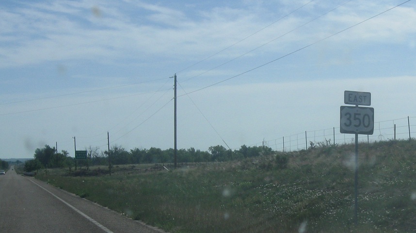
Location: US-350 and US-160, Las Animas Cty
Reassurance shield at the beginning of US-350, a short US route that goes from here to La Junta
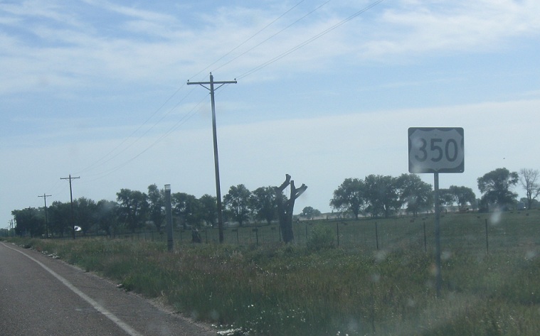
Location: US-350 and CR 87, Las Animas Cty
Reassurance shield a couple miles later
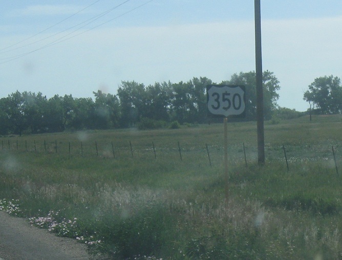
Location: US-350 and CR 91, Las Animas Cty
Reassurance shield a few miles after that as we head out of the settled area- the far reaches of Trinidad metro, if you will.
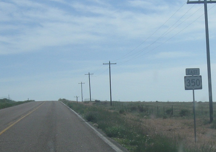
Location: US-350 and CR 48, Las Animas Cty
Reassurance shield a few miles after that
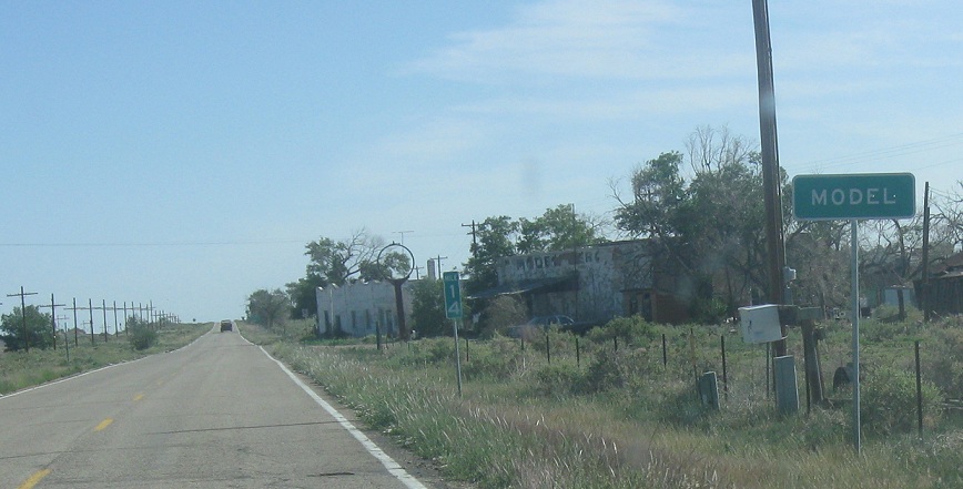
Location: US-350 and CR 52.5, Model, Las Animas Cty
A couple miles later, we’ll approach the unincorporated, pretty much abandoned town of Model
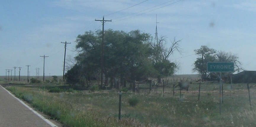
Location: US-350 and CR 64, Tyrone, Las Animas Cty
A few miles later, we’ll approach Tyrone, which makes Model look like a big city.
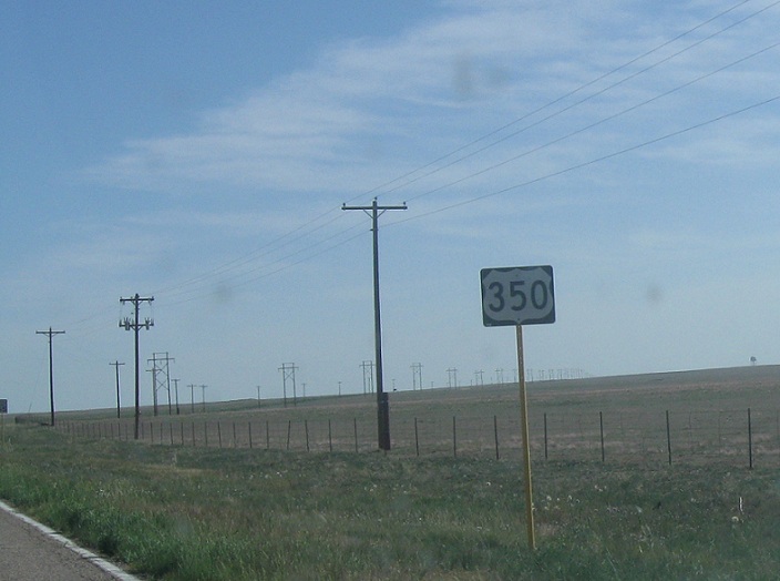
Location: US-350 and CR 64, Las Animas Cty
Reassurance shield as we head out of Tyrone
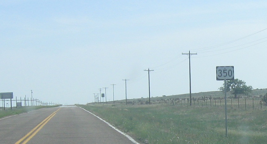
Location: US-350 and CR 70, Las Animas Cty
Reassurance shield a few miles later
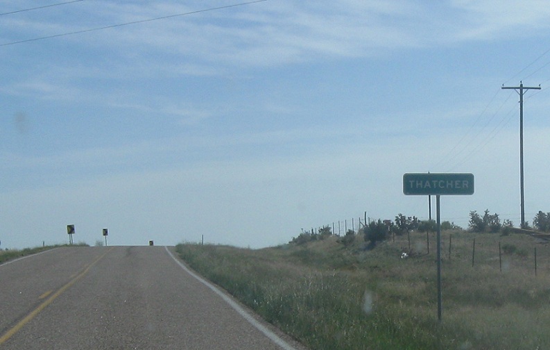
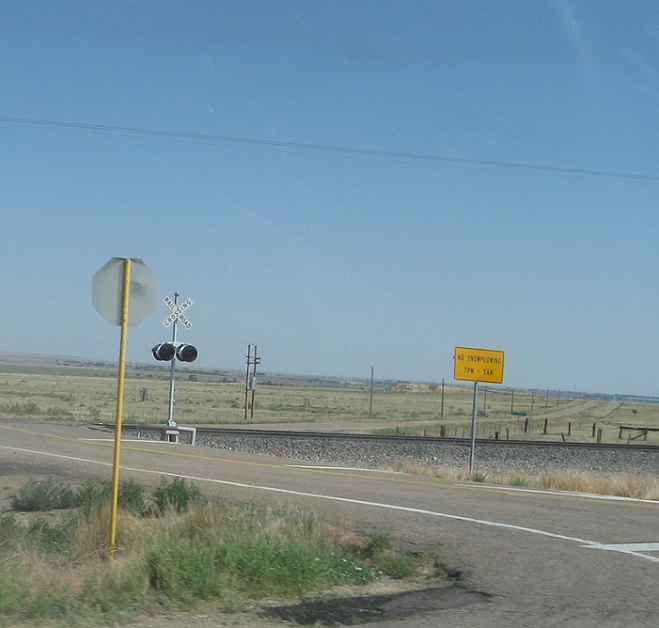
Location: US-350 and CR 76.5, Thatcher, Las Animas Cty
A couple miles after that, we’ll enter the non-town of Thatcher. US 350 is not only a short US highway, but probably one of the most desolate. I’m honestly not sure why it’s a U.S. Route. I guess Trinidad and La Junta both used to be minor rail hubs, and this road does parallel a railroad track, but I doubt it’s made sense as a U.S. Route since 1950 or so.
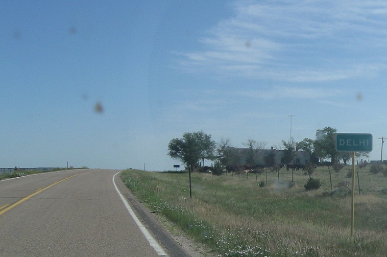
Location: US-350 and CR 88, Delhi, Las Animas Cty
Just before we enter the Comanche Grassland and Otero County, we’ll approach the field of Delhi
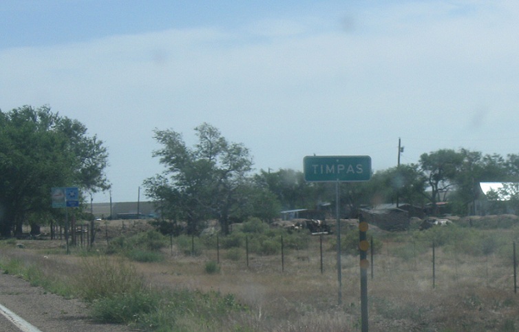
Location: US-350 and CR 17, Timpas, Otero Cty
A few miles after we enter the Comanche National Grassland, which is largely non-contiguous reclaimed farmland, we’ll approach the town of Timpas, which is a bit larger than the other buildings with place names along this route.
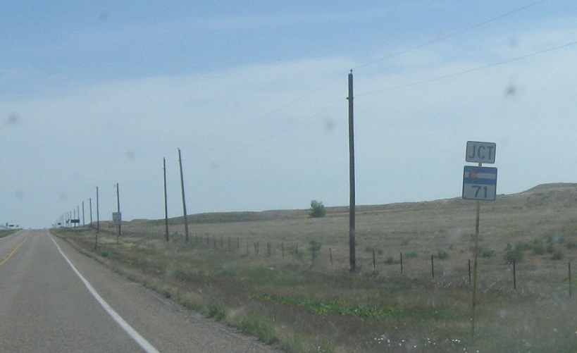
Location: US-350 and SH-71, Otero Cty
Several miles later, we’ll approach SH-71.
Location: US-350 and SH-71, Otero Cty
No sign at the turn, but this is what it looks like. This is a quiet start for an important route. State Highway 71 heads to Fort Morgan and north through Colorado to Kimball Nebraska, where it carries the Heartland Expressway to Scottsbluff, Nebraska. The route continues through the Nebraska Sandhills and Ogalala Grassland all the way to Hot Springs, South Dakota in the Black Hills.

 N to CO-10

