
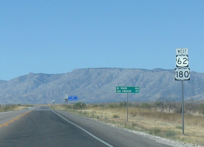
Location: US-62 and RM 652, Culberson Cty
Reassurance shield after RM 652. We’re a long, desolate drive from El Paso. At least we get mountains!
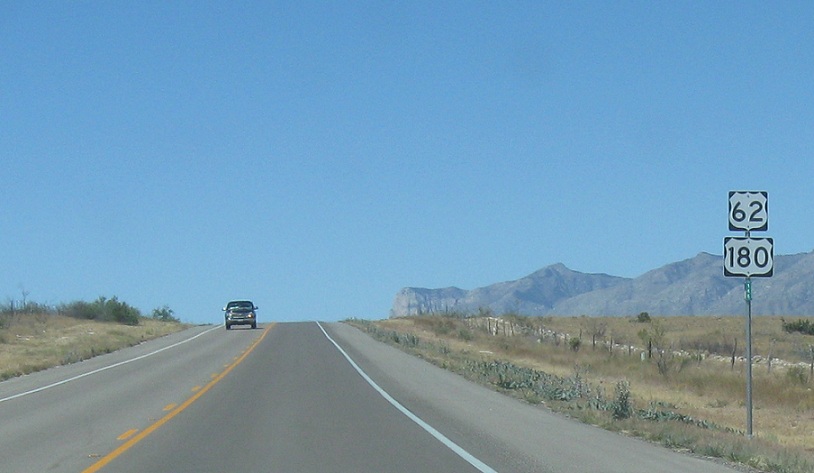
Location: US-62 and County Rd, Culberson Cty
Reassurance shield a few miles west of there as we pass through nothingness
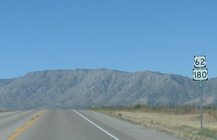
Location: US-62 and County Rd, Culberson Cty
Reassurance shield after another random turnoff
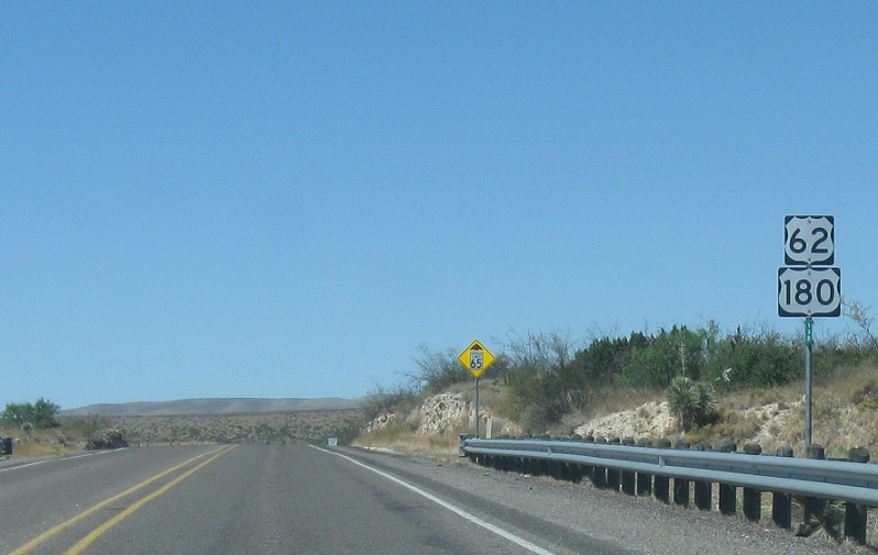
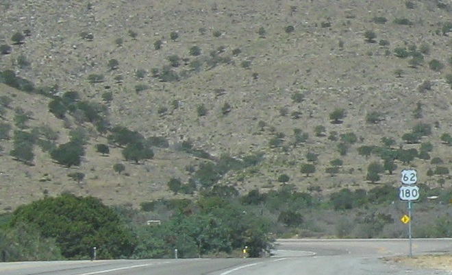
Location: US-62 and Nickel Creek Rd, Culberson Cty
Reassurance shield after the Nickel Creek Station area as the speed limit drops
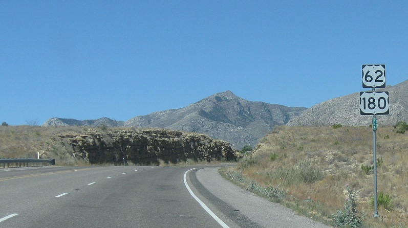
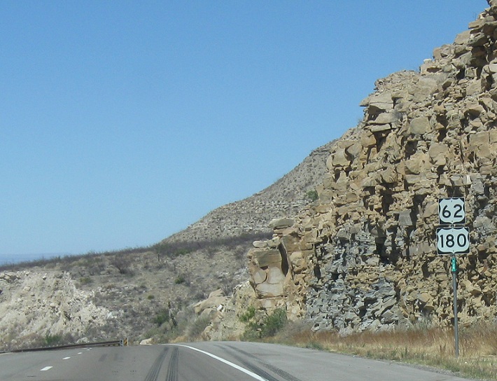
Location: US-62 and Ligon Ranch Rd, Culberson Cty
Reassurance shield as we pass through the base of the Guadalupe Mountains
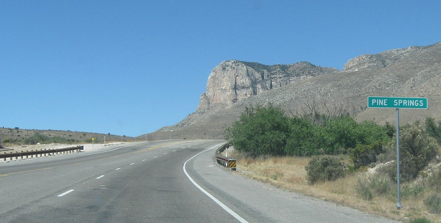
Location: US-62 and Pine Springs Rd, Pine Springs, Pine Springs
In Guadalupe National Park, we’ll approach the small area of Pine Springs, which I think has a restaurant or something
Location: US-62 and Pine Springs Rd, Pine Springs, Culberson Cty
Reassurance shield as we head out of Pine Springs
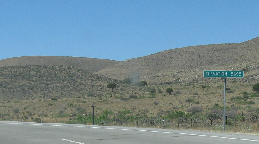
Location: US-62 and Pine Springs Rd, Culberson Cty
Just after that, we’re at elevation 5695, which I believe is as high as you can get on a state highway in Texas
Location: US-62 and Pine Springs Rd, Culberson Cty
Reassurance shield as we start to head down the hill
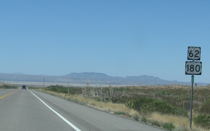
Location: US-62 and CR 111, Culberson Cty
A few miles later, we’re back in the flats and it’s a long, desolate road to El Paso
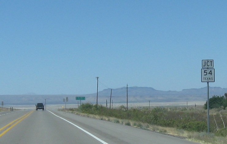
Location: US-62 and SH 54, Culberson Cty
Just after that, we’ll approach SH 54
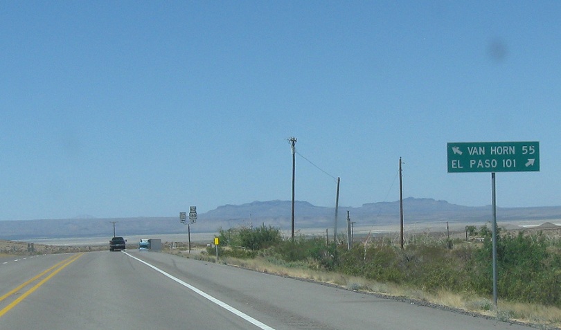
Location: US-62 and SH 54, Culberson Cty
Keep right for 62/180 to El Paso. There’s seriously nothing between here and El Paso. Follow SH 54 down to Van Horn
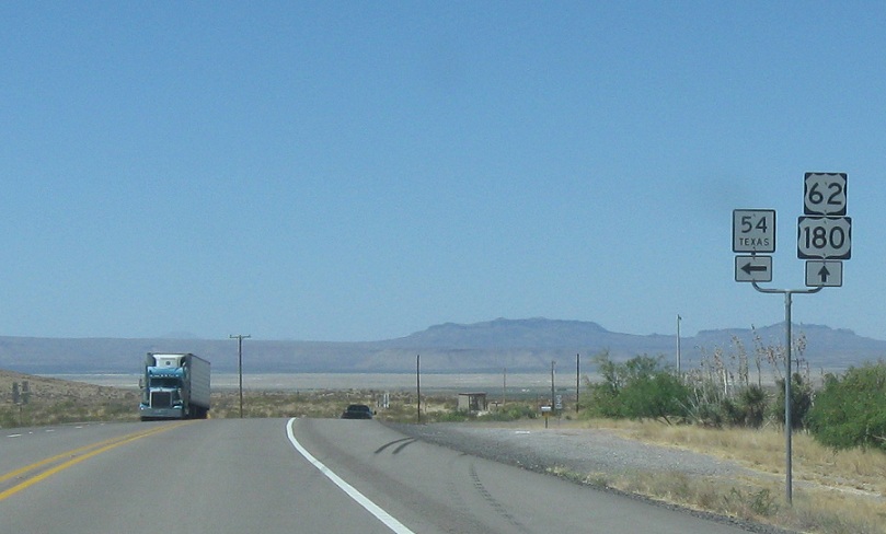
Location: US-62 and SH 54, Culberson Cty
Turn left for 54 south. Stay straight for 62/180 west
 W to TX-FM1576, E to NM State Line
 W to TX-FM1576, E to NM State Line
 S to TX-FM2185
 S to TX-RM1108
