
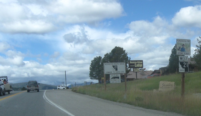
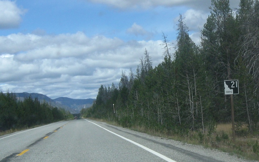
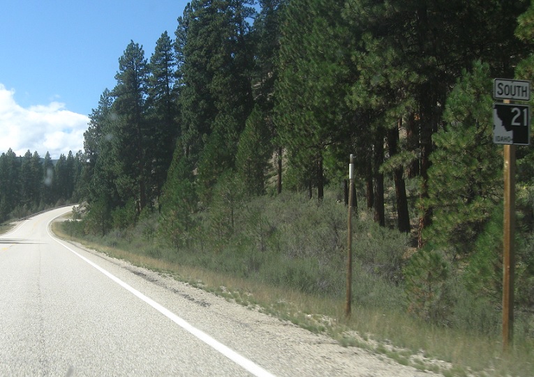
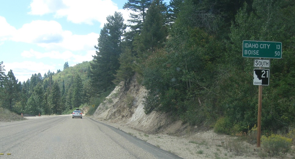
AMP: 130
Location: SH-21 and SH-75, Stanley
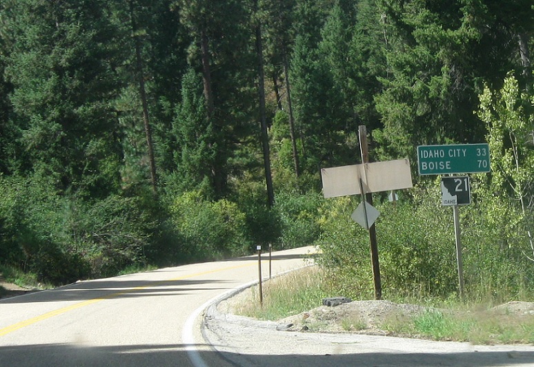
Reassurance shield as 21 begins. 21 heads 130 miles from here to Boise and intersects no other state highways.
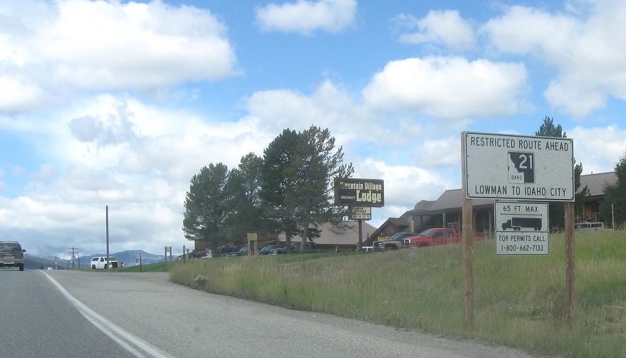
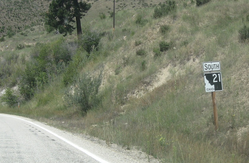
AMP: 130
Location: SH-21 and SH-75, Stanley
21 is a restricted truck route between Lowman and Idaho City.
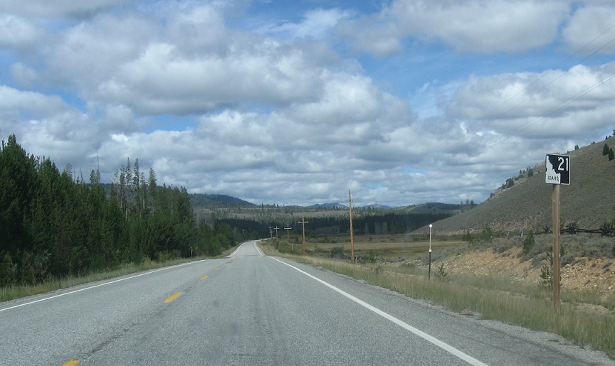
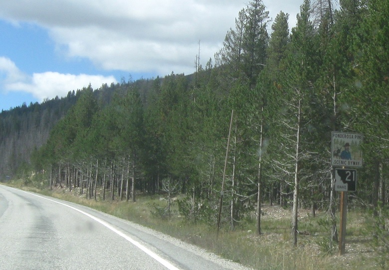
AMP: 127
Location: SH-21 and Iron Creek Rd, Custer Cty
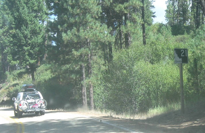
Reassurance shield a few miles later as we head out of Stanley. The first several miles of 21 are easy going- relatively straight with a 65 MPH speed limit.
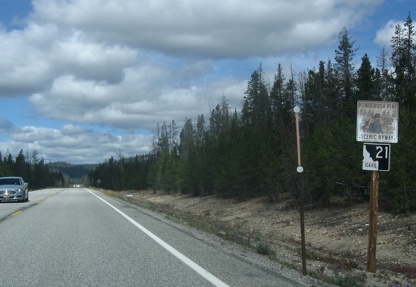
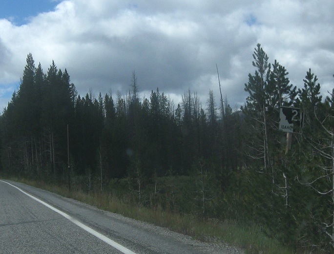
AMP: 122
Location: SH-21 and Elk Creek Rd, Custer Cty
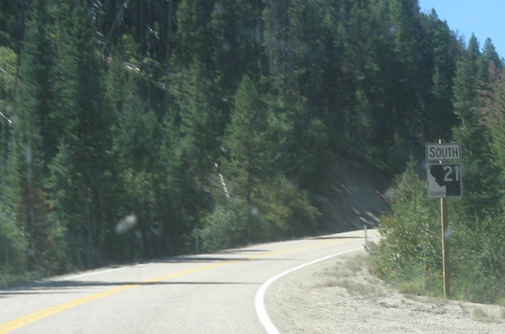
Reassurance shield a few miles later, as we pass through a fire and beetle kill ravaged forest.
AMP: 116
Location: SH-21 and Vader Creek Rd, Custer Cty
Reassurance shield a few miles later.
AMP: 111
Location: SH-21 and Seafoam Rd, Custer Cty
Reassurance shield a few miles later.
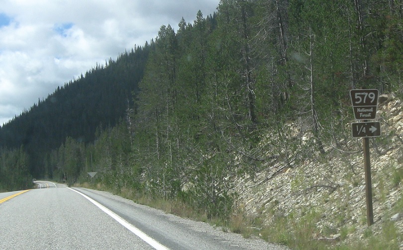
AMP: 109
Location: SH-21 and Bear Valley Rd, Custer Cty
In a quarter mile, turn right for NF-579/Bear Valley Rd, which leads to a network of logging roads that can actually be used to connect west of the Sawtooths to the Round Valley and Cascade.
AMP: 106
Location: SH-21 and Bull Trout Lake Rd, Custer Cty
Reassurance shield a few miles later

AMP: 93
Location: SH-21 and Grandjean Rd, Boise Cty
Reassurance shield a few miles later as we enter Boise County
AMP: 80
Location: SH-21 and Helende Campground Rd, Boise Cty
Reassurance shield about 12 miles later
AMP: 76
Location: SH-21 and Kirkham Hot Springs Campground Rd, Boise Cty
Reassurance shield a few miles later after another campground
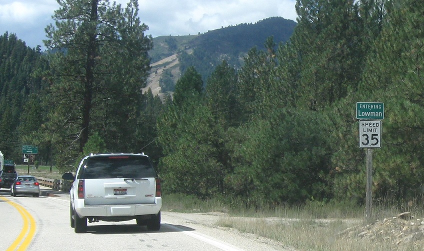
AMP: 72
Location: SH-21 and Bear Valley Rd, Lowman, Boise Cty
A few miles later, we’ll enter unincorporated Lowman.
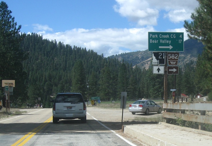
AMP: 72
Location: SH-21 and Bear Valley Rd, Lowman, Boise Cty
Turn right for NF-582 towards Bear Valley.
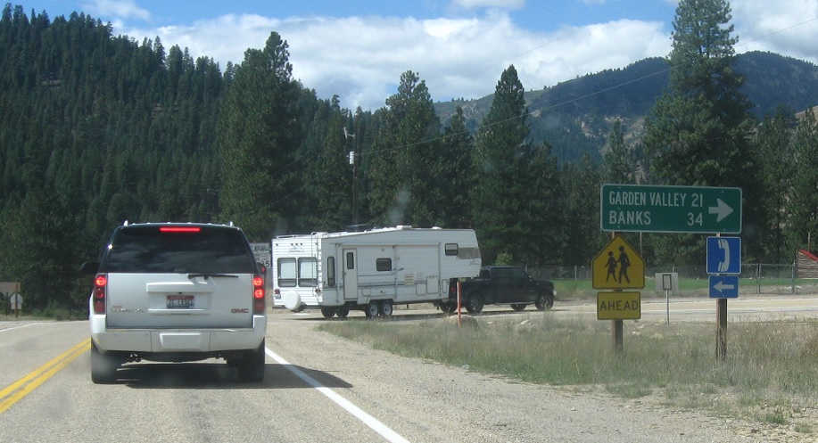
AMP: 72
Location: SH-21 and Garden Valley Rd, Lowman, Boise Cty
Just after that, turn right for the Banks-Lowman Road through Garden Valley. I’m really not sure why that road is not a state highway.
AMP: 72
Location: SH-21 and Banks-Lowman Rd, Boise Cty
Reassurance shield as we head out of Lowman.
AMP: 70
Location: SH-21 and Closure Gates, Boise Cty
Reassurance shield as we pass the winter closure gates.
AMP: 64
Location: SH-21 at the Beaver Creek Summit, Boise Cty
Reassurance shield shortly before we get to the top of Beaver Creek Summit.
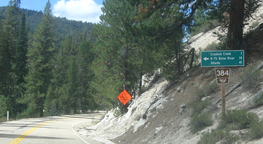
AMP: 56
Location: SH-21 and Crooked River Rd, Boise Cty
A few miles later, turn left for NF-384/Crooked River Rd towards the small community of Atlanta.
AMP: 51
Location: SH-21 and Mores Creek Summit, Boise Cty
Reassurance shield as we crest the More’s Creek Summit.

AMP: 42
Location: SH-21 and Rabbit Creek Rd, Boise Cty
Reassurance shield a few miles later.
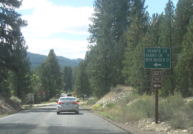
AMP: 41
Location: SH-21 and Rabbit Creek Rd, Boise Cty
A couple miles later, we’ll actually approach NF-327/Rabbit Creek Rd.
AMP: 39
Location: SH-21 and Bannock Creek Rd, Boise Cty
A mile later, we’ll approach Bannock Creek Rd.
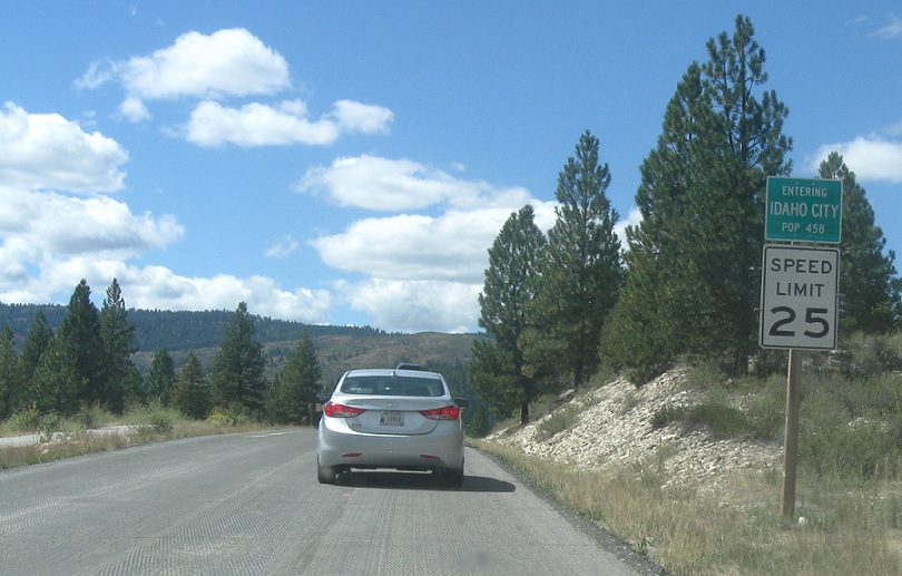
AMP: 38
Location: SH-21 and Main St, Idaho City
A mile later, we’ll approach Idaho City, a well-preserved ghost town.
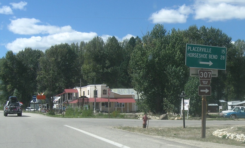
AMP: 38
Location: SH-21 and Main St, Idaho City
Turn right for NF-307 towards Placerville and Horseshoe Bend. The road also heads into the Idaho City city center, which is both touristy and awesome.
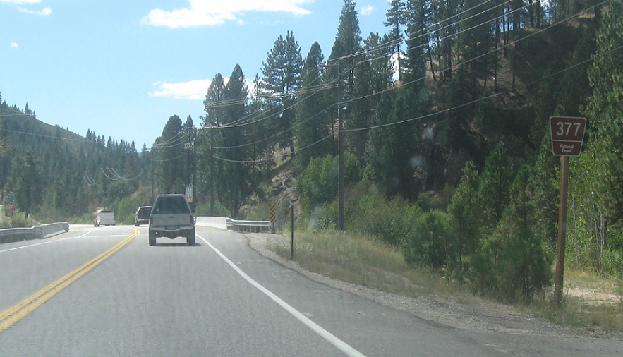
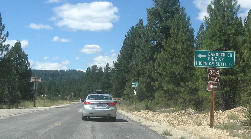
AMP: 31
Location: SH-21 and Thorn Creek Rd, Boise Cty
As we head out of Idaho City, turn left for NF-377. The arrow is obviously missing here.
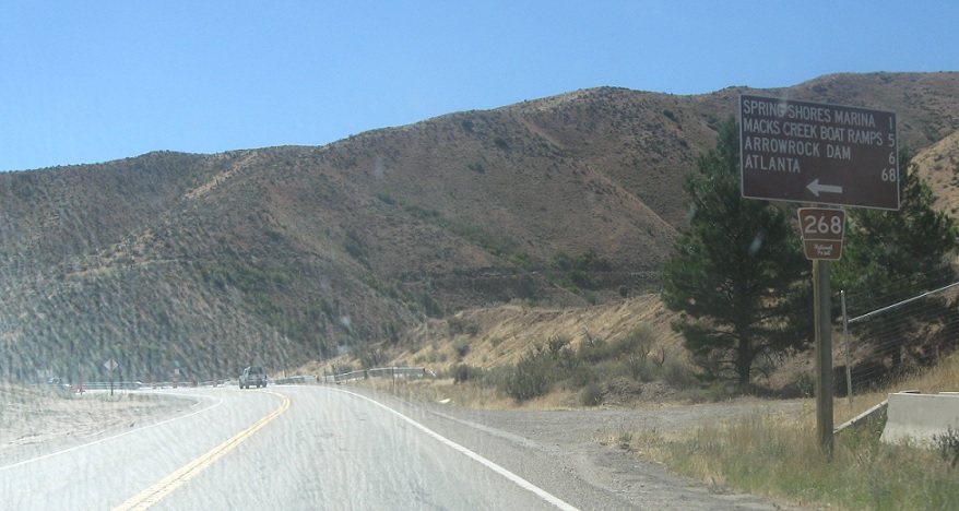
AMP: 17
Location: SH-21 and Spring Shore Rd, Boise Cty
Just before we enter Ada County, turn left for NF-268 towards Atlanta.
AMP: 11
Location: SH-21 and Lucky Peak Dam Rd, Ada Cty
A couple miles later, keep right for SH-21 as we pass by the Lucky Peak Dam and Reservoir, a flood control dam which keeps Boise from the Boise River flooding.
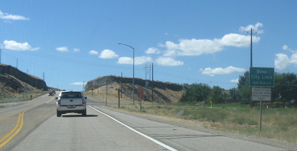
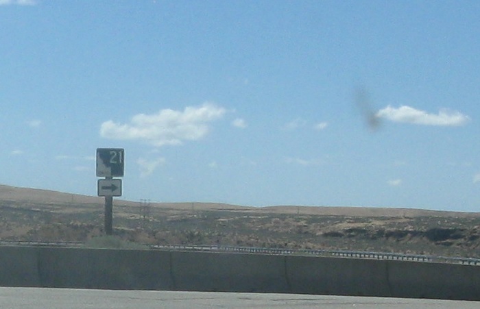
AMP: 3
Location: SH-21 and Surprise Way, Boise
A few miles later, we’ll enter Boise. 21 only really comes into extreme southeast Boise before it will end here shortly.
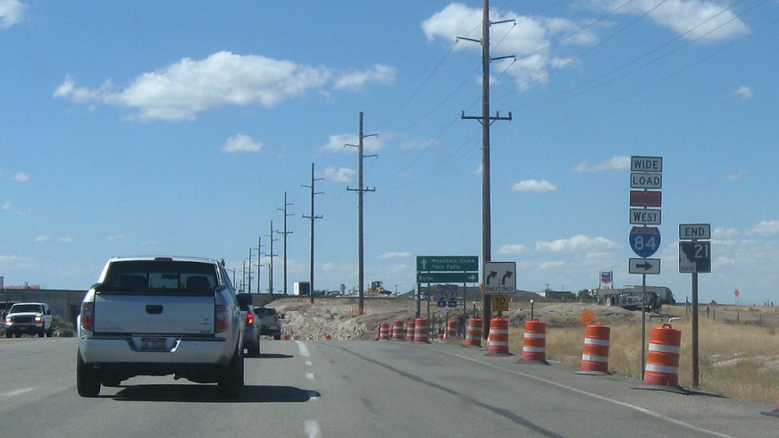
AMP: 0
Location: Gowen Rd and I-84, Boise
A couple miles later, we’ll approach I-84 and Highway 21 will end.
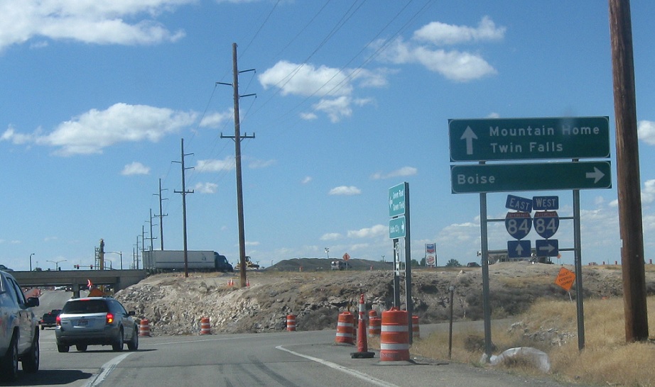
AMP: 0
Location: Gowen Rd and I-84, Boise
Turn right for I-84 (and US 20/26/30) west into the core of Boise. Stay straight and turn left for I-84 (and US 20/26/30) east to Mountain Home and Twin Falls.
 E to I-84 Bus, W to US-20/US-26
 E to I-84 Bus, W to I-84/US-30
 E to I-84 Bus, W to I-84/US-30
 E to I-84 Bus, W to US-20/US-26

