
Last Driven May 2020
(Historic Photo: January 2009)
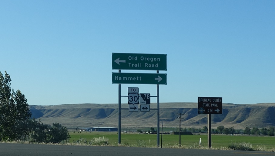
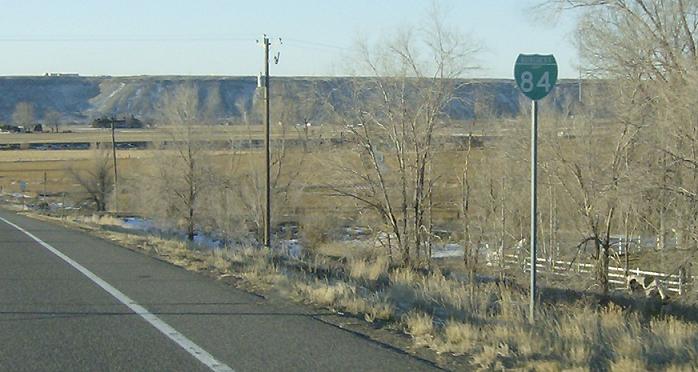
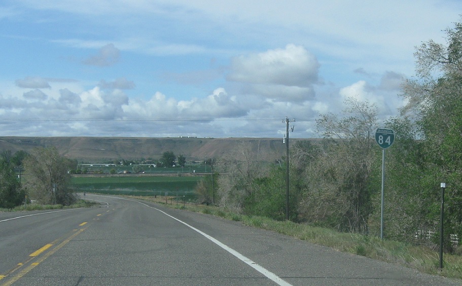
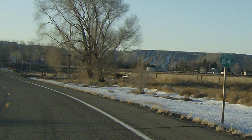
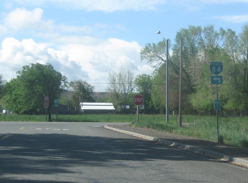
Location: Hammett Hill Rd and I-84, Elmore Cty
As of 2018, this is the new eastern terminus of SH-78, which has eaten the west half of former I-84 Business. The eastern portion of I-84 business is no longer a state highway. There isn’t actually a connection to US 30, but for whatever reason ITD decided to sign old I-84 Business as “US 30” before relinquishing it. US 30 officially still lives very comfortably up on the interstate.
(Historic Photo: January 2009, May 2014)
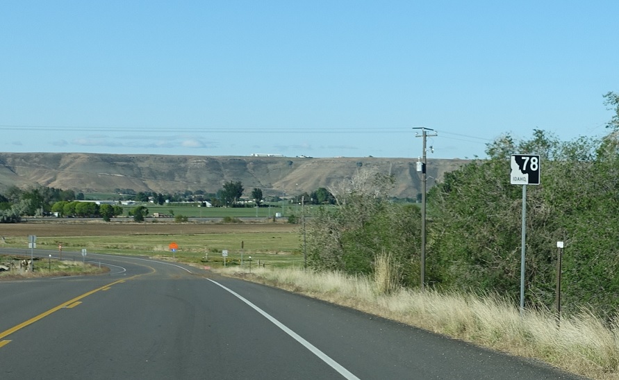
AMP: 0
Location: N Hammett Hill Rd and I-84, Elmore Cty
Reassurance shield at the beginning of the route, now signed as SH-78.
(Historic Photo: January 2009)
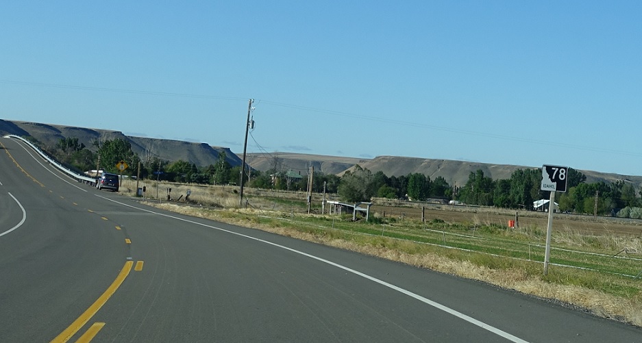
AMP: 0
Location: N Hammett Hill Rd and E Central, Elmore Cty
Reassurance shield as we are about to cross over the railroad tracks into downtown Hammett, which is a very small town
(Historic Photo: May 2014)
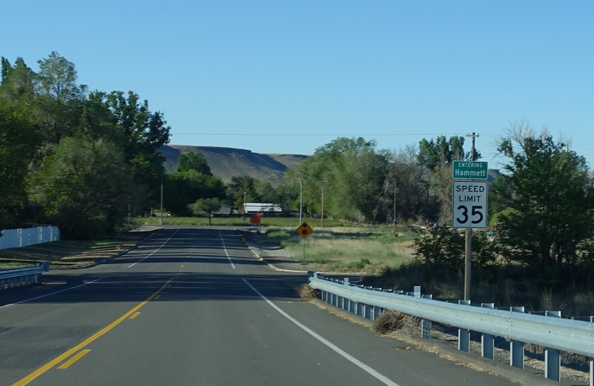
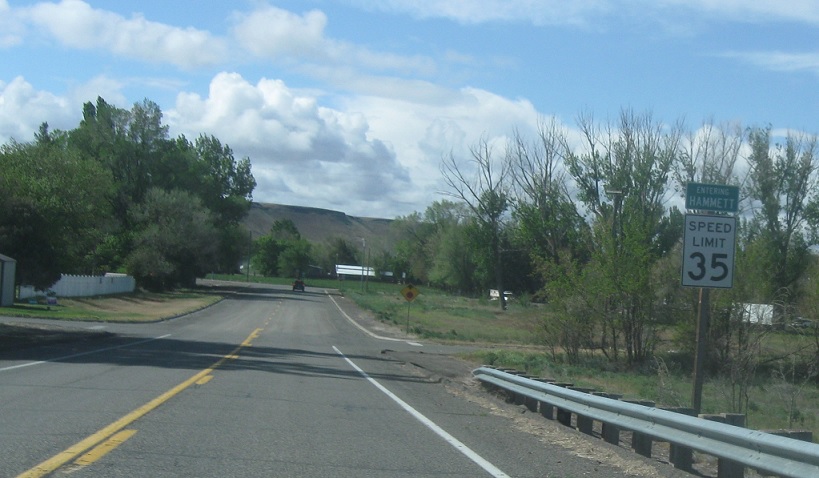
AMP: 0
Location: Hammett Hill Rd and Center St, Hammett, Elmore Cty
Welcome to unincorporated Hammett!
(Historic Photo: January 2009, May 2014)
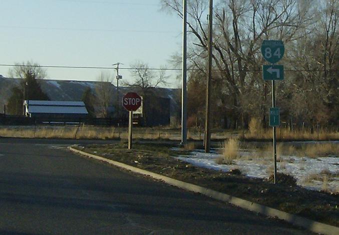
AMP: 1
Location: N Hammett Hill Rd and Old US-30, Hammett, Elmore Cty
Turn left at the stop sign to jump on the old alignment of US-30 to connect to what used to be the terminus of SH-78.
(Historic Photo: January 2009)
Location: N Hammett Hill Rd and Old US-30, Hammett, Elmore Cty
There used to be an indication to turn left for I-84 Business here.
(Historic Photo: January 2009)
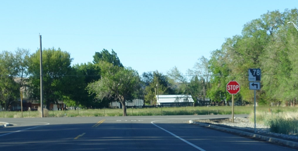
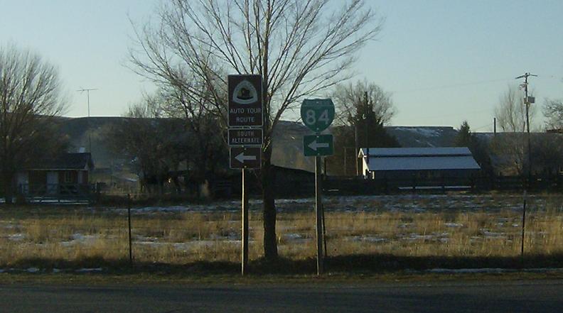
Location: Old US-30 and SH-78, Hammett, Elmore Cty
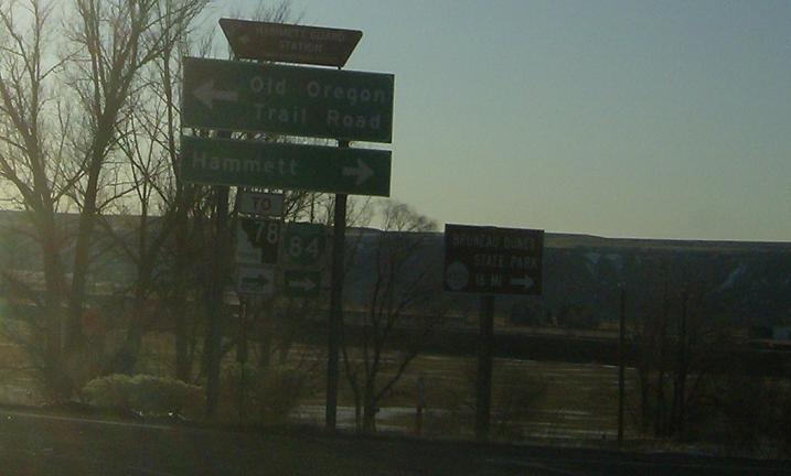
In downtown Hammett, turn right for Idaho 78 towards Bruneau and stay straight for the business loop/old US 30 towards Glenn’s Ferry. This page provides archived photos of the old business loop.
AMP: 98
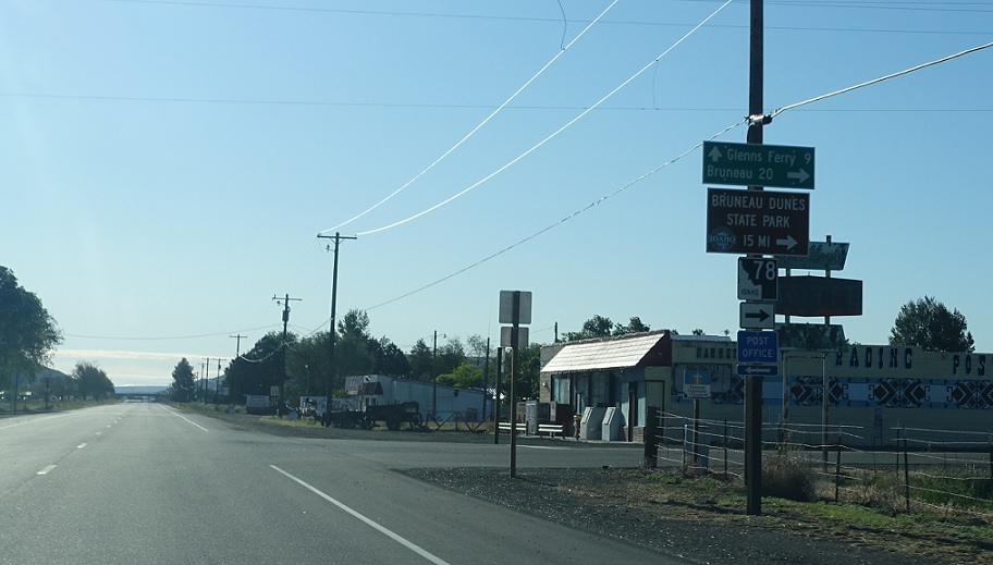
Location: SH-78 and Church St, Hammett, Elmore Cty
After the turn, we’re 20 miles from Bruneau and 193 miles from Elko, Nevada via SH-51.
AMP: 98
Location: SH-78 and Riverview Rd, Hammett, Elmore Cty
Keep right to head west on 78 as we head out of Hammett.
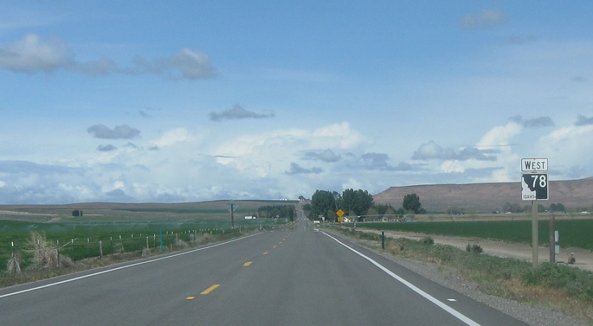
AMP: 91
Location: SH-78 and Black Ln, Owyhee Cty
Reassurance shield as we enter Owyhee County.
AMP: 87
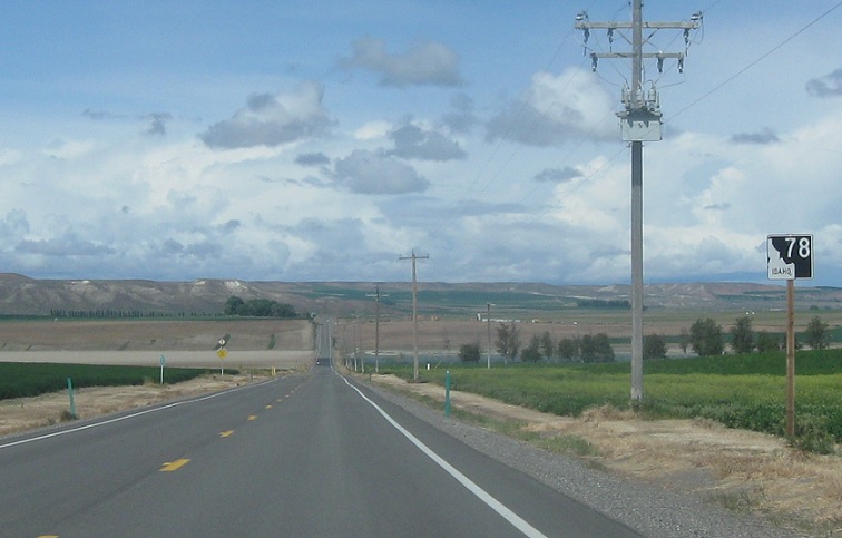
Location: SH-78 and Indian Cove Ln, Owyhee Cty
Reassurance shield a few miles later. 78 generally parallels the Snake River, and we’re in the river valley right now.
 AMP: 84
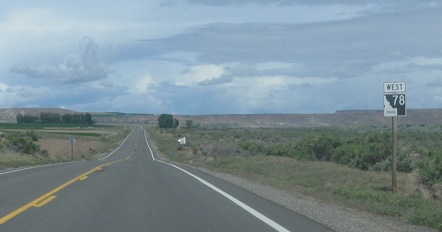
Location: SH-78 and Bruneau Sand Dunes State Park Rd, Owyhee Cty
Reassurance shield after the turnoff to Bruneau Sand Dunes.
AMP: 82
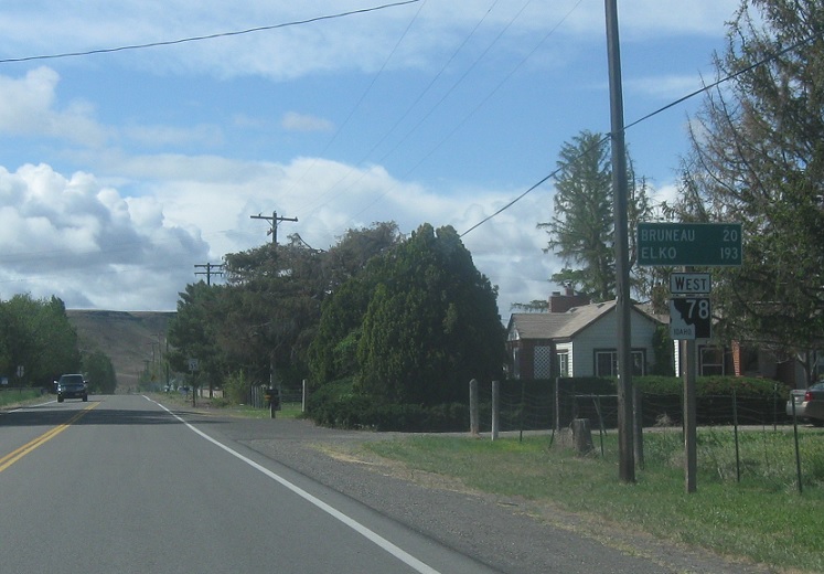
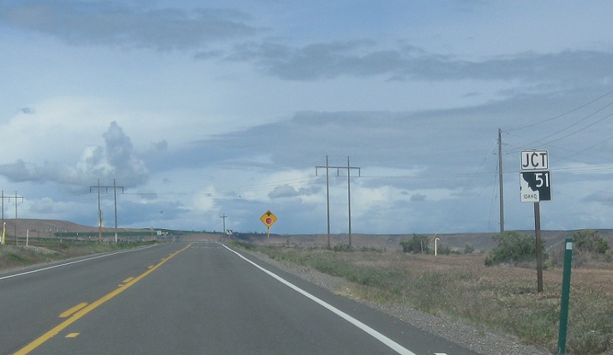
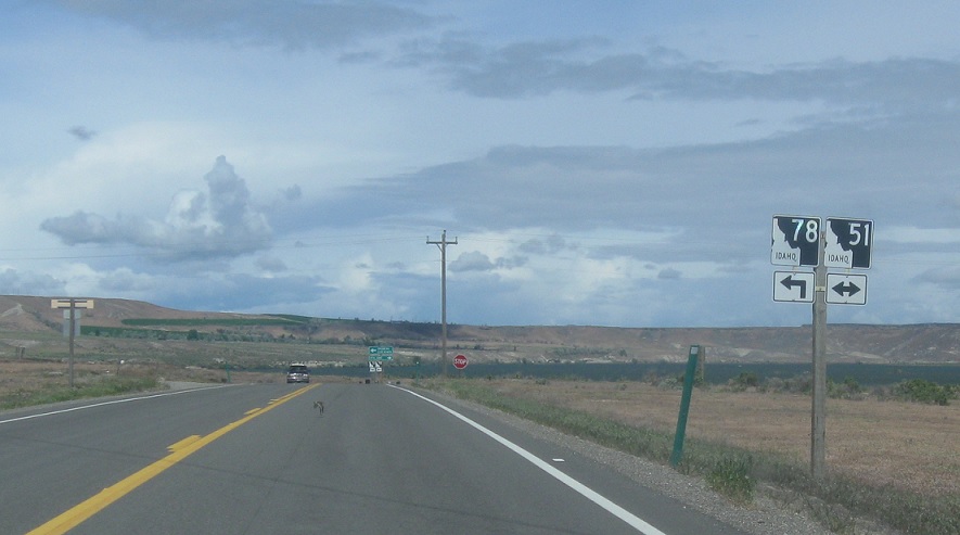
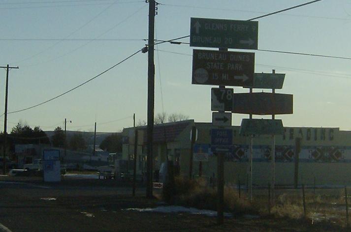
Location: SH-78 and SH-51, Owyhee Cty
A few miles later, we’ll approach Highway 51
AMP: 82
Location: SH-78 and SH-51, Owyhee Cty
Turn right for 51 north. 78 west joins 51 south for a few miles through the town of Bruneau.
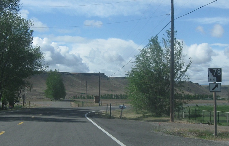
AMP: 82
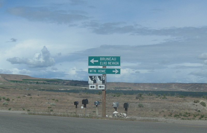
Location: SH-78 and SH-51, Owyhee Cty
Follow 51 north to Mountain Home. Follow 51 south and 78 west to Bruneau and Elko, Nevada


 E to I-84 Bus, W to I-84 Bus/US-20
 E to I-84 Bus, W to I-84 Bus/US-20
 E to I-84 Bus, W to I-84 Bus/US-20
