AMP: 57
Location: S 3rd St E and E 2nd St S, Soda Springs
Reassurance shield after the 30 split.
AMP: 57
Location: S 3rd St E and E Hooper Ave, Soda Springs
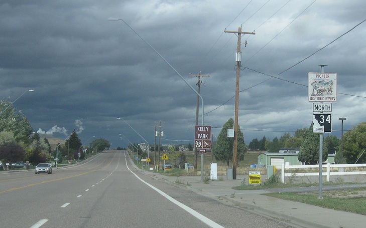
At the light, turn right for SH-34.
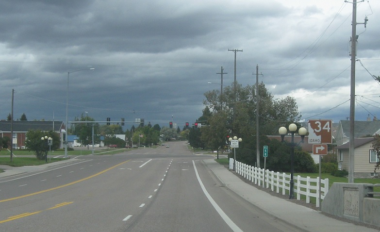
AMP: 58
Location: E Hooper Ave and S 3rd St E, Soda Springs
Reassurance shield. I got pulled over by the Soda Springs Police Department about right here for failing to activate my turn signal 5 seconds prior to making a lane change, though I did activate my signal, just not a full 5 seconds prior. The officer then attempted to get consent to search my car, believing I was carrying weed, warning me that if I continued up 34 I would likely run into drug dogs, and it’s better to take care of it here. I declined consent (repeatedly) and left. Fortunately, I was not given a ticket for the alleged infraction. I have never seen such obnoxious behavior on the part of a police officer. I will never enter this town again.
AMP: 58
Location: Hooper Ave and 2nd St N, Soda Springs
Reassurance shield as we turn north to head out of town.

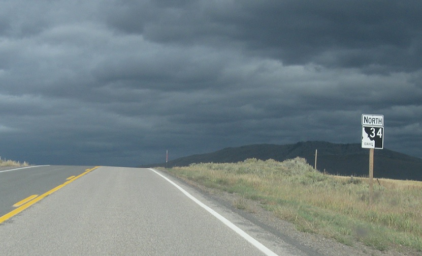
AMP: 60
Location: SH-34 and Evergreen Ln, Caribou Cty
Reassurance shield as we head out of Soda Springs
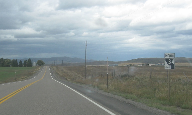
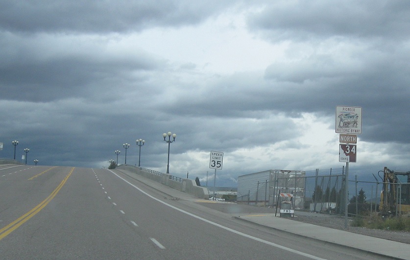
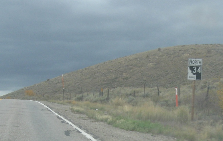
AMP: 64
Location: SH-34 and Meadowville Rd, Caribou Cty
Reassurance shield a few miles later. No drug dogs in sight.
AMP: 70
Location: SH-34 and Blackfoot River Rd, Caribou Cty
Reassurance shield six miles later.
AMP: 73
Location: SH-34 and Cedar Bay Rd, Caribou Cty
Reassurance shield a few miles later
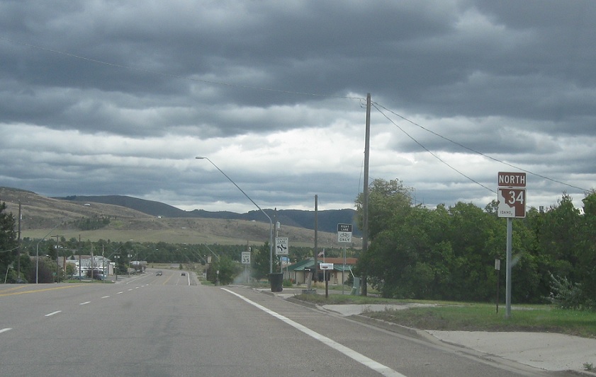
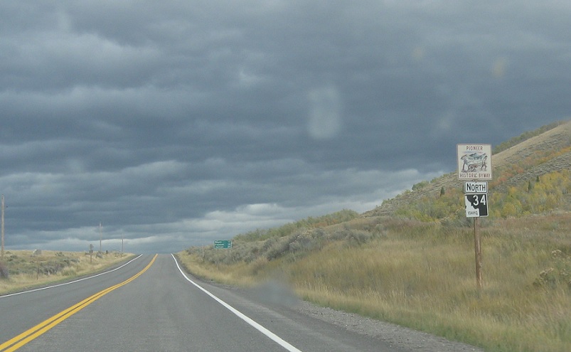
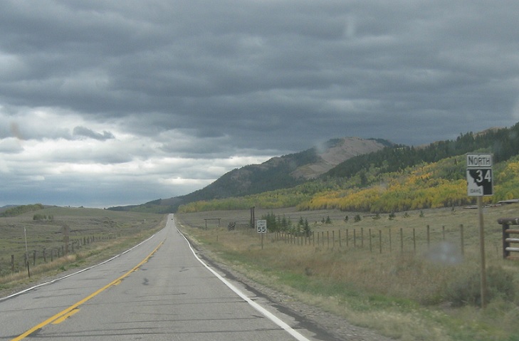
AMP: 76
Location: SH-34 and Henry Rd, Caribou Cty
Reassurance shield as we pass by the community of Henry. There may not be drug dogs, but those are ominous clouds.
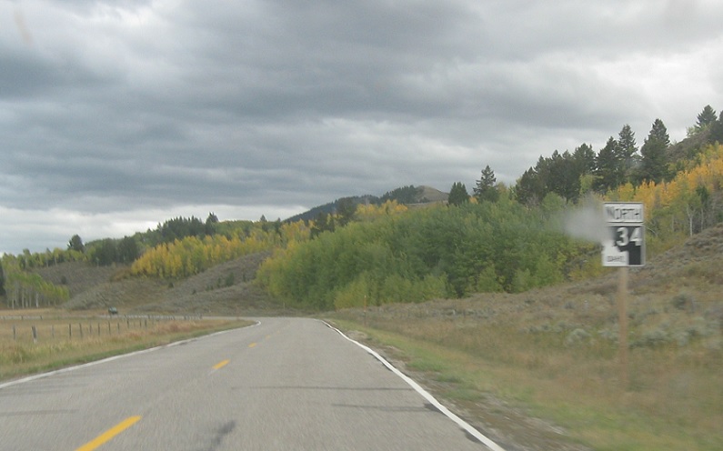
AMP: 78
Location: SH-34 and Blackfoot North Cutoff Rd, Caribou Cty
Reassurance shield a couple miles later
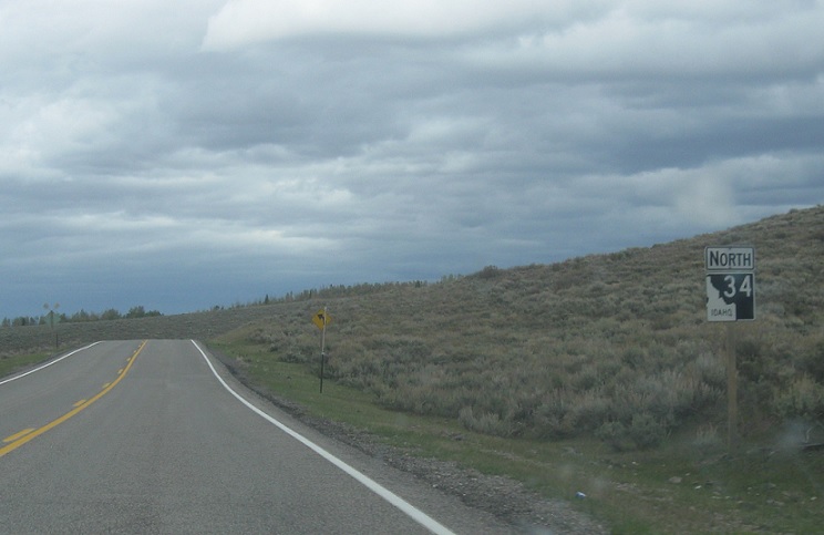
AMP: 80
Location: SH-34 and Local Rd, Caribou Cty
Reassurance shield in a random spot a bit later
AMP: 90
Location: SH-34 and Westside Rd, Caribou Cty
Reassurance shield a few miles after the last one
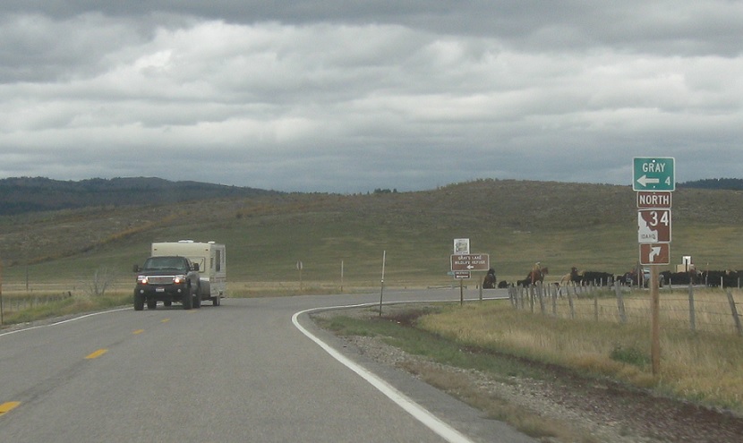
AMP: 91
Location: SH-34 and Gray Rd, Caribou Cty
Keep right for 34, which makes about a 120 degree turn to start heading east towards Wyoming. A cattle drive looms ahead. To my knowledge, none of those cows are drug dogs.
AMP: 93
Location: SH-34 and Wayan Loop Rd, Caribou Cty
Reassurance shield a couple miles later as we head out of the Wayan area. I see two other cars for the first time. None of them are drug dogs.
AMP: 98
Location: SH-34 and Wayan Loop Rd, Caribou Cty
Reassurance shield just before we enter the Caribou National Forest.
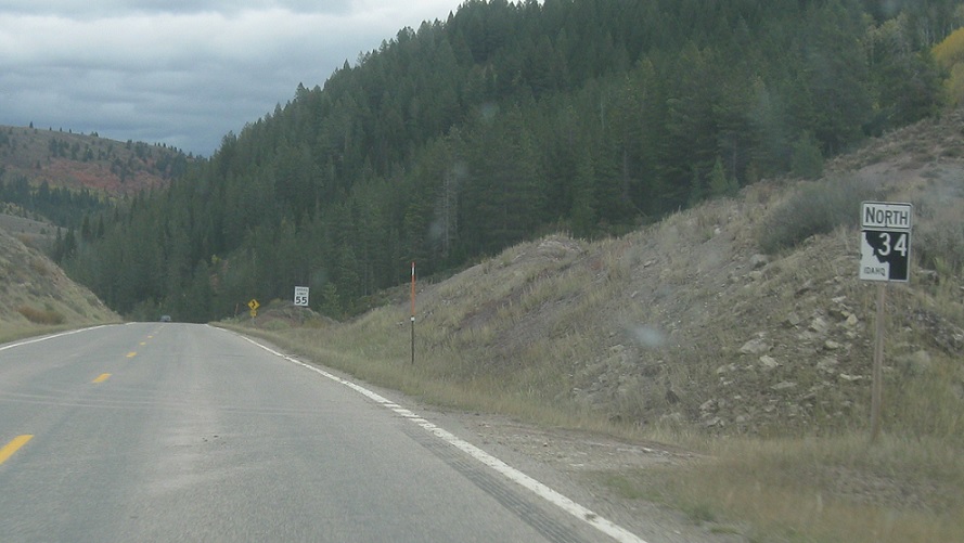
AMP: 100
Location: SH-34 and Lanes Creek Cutoff, Caribou Cty
Reassurance shield a couple miles later.
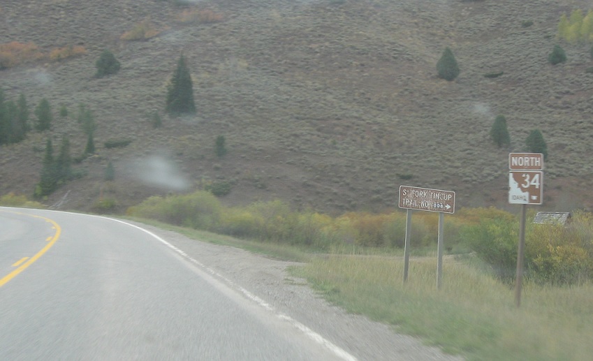
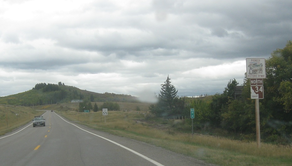
AMP: 103
Location: SH-34 and Tin Cup Creek Rd, Caribou Cty
Reassurance shield right at the turnoff to a trailhead. There were no drug dogs lurking along that path.
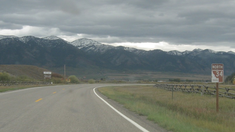
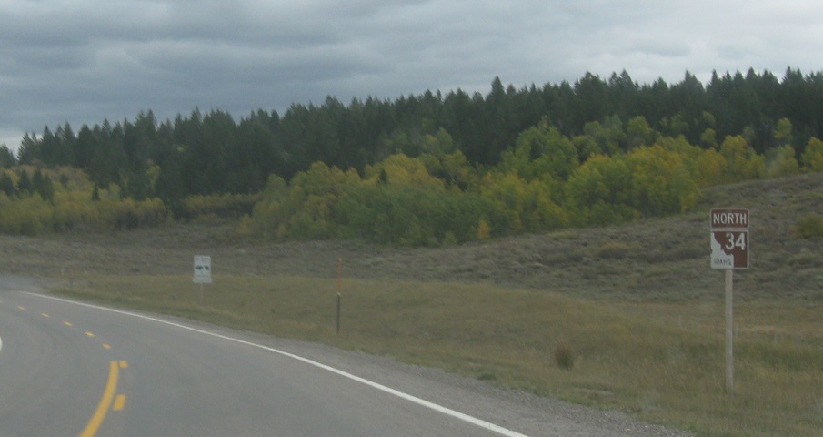
AMP: 112
Location: SH-34 and Tincup Junction Rd, Caribou Cty
Reassurance shield as we enter the Star Valley and head out of forest land.
AMP: 113
Location: SH-34 and Stateline Rd, Caribou Cty
At the top sign, we’ll turn right to head to WYO 239, which connects quickly to US 89.
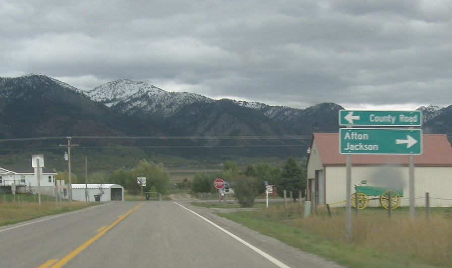
AMP: 113
Location: SH-34 and Stateline Rd, Caribou Cty
Follow 34 a couple blocks down the state line road to WYO 239 to US 89 to Alton, WY and Jackson, WY. Turn left to follow a county road.
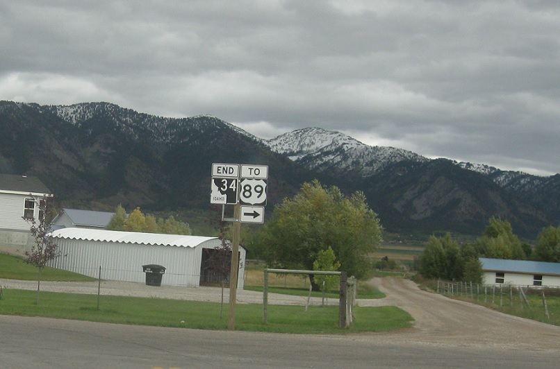
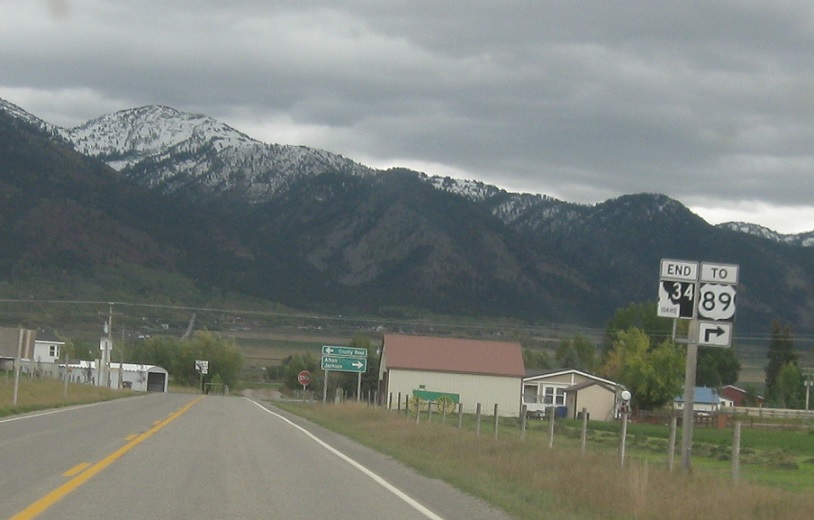
AMP: 113
Location: SH-34 and Stateline Rd, Caribou Cty
Turn right for US-89. Idaho 34 may or may not end here; I choose to believe it follows the two blocks south to the WYO 239 connection. Regardless, we’re out of Idaho so I don’t have to worry about drug dogs anymore.
AMP: 113
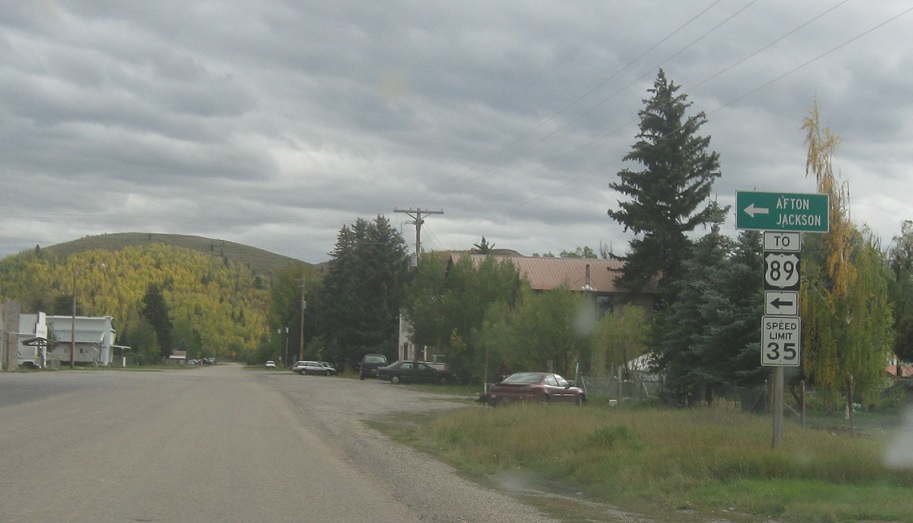
Location: Stateline Rd and WYO 239, Caribou Cty
That sure looks like an ITD sign. Turn left to get TO US 89 via WYO 239. Idaho 34 definitely ends here.