
Last Driven May 2020

(Historic Photo: April 2014)
AMP: 82
Location: US 95 and Indianhead Rd, Weiser
Reassurance shield as we head out of Weiser.
AMP: 84
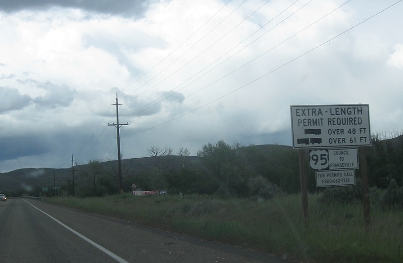
Location: US 95 and Chandler Ln, Washington Cty
Another reminder about restricted truck routes. Unless a truck wants to take Idaho 71 for some reason, they’re more or less past the point of no return.
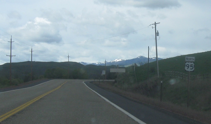
AMP: 92
Location: US-95 and Hoover Rd, Washington Cty
Reassurance shield a few miles later.
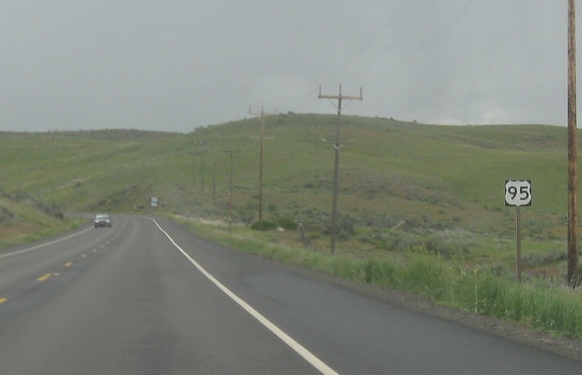
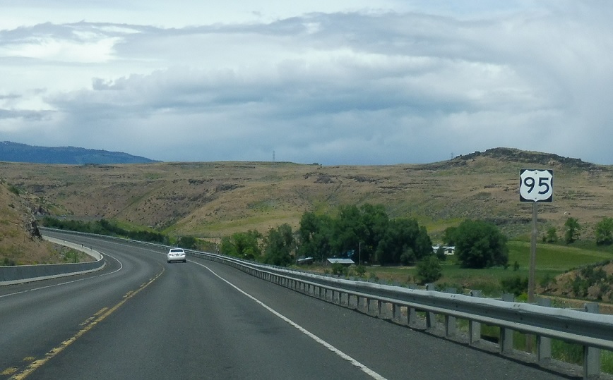
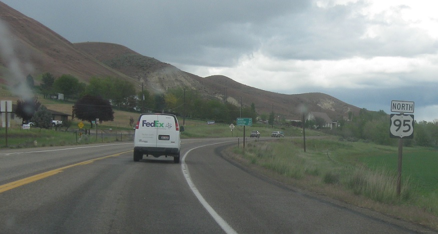
AMP: 98
Location: US-95 and Thousand Springs Rd, Washington Cty
Reassurance shield a few miles later.
(Historic Photos: April 2014, June 2017)
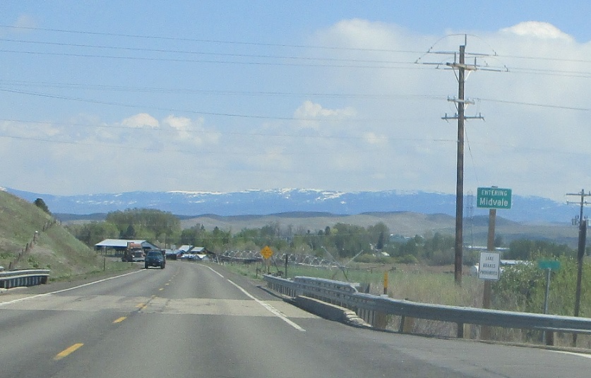
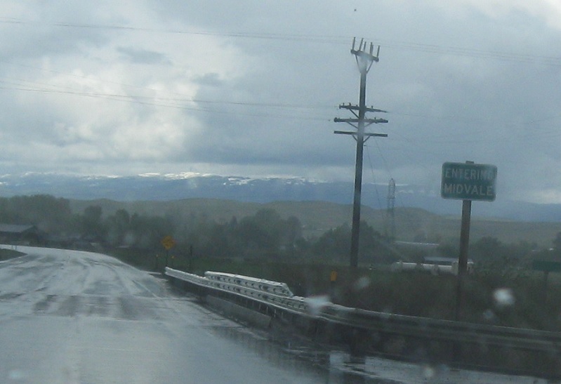
AMP: 104
Location: US 95 and Weiser St, Midvale, Washington Cty
A few miles later, it will randomly start raining and we’ll enter Midvale. The legend was starting to peel, which is pretty unusual for Idaho signage, but it looks like it was replaced by 2020.
AMP: 105
Location: US 95 and Canary St, Washington Cty
Reassurance shield as we head out of Midvale.
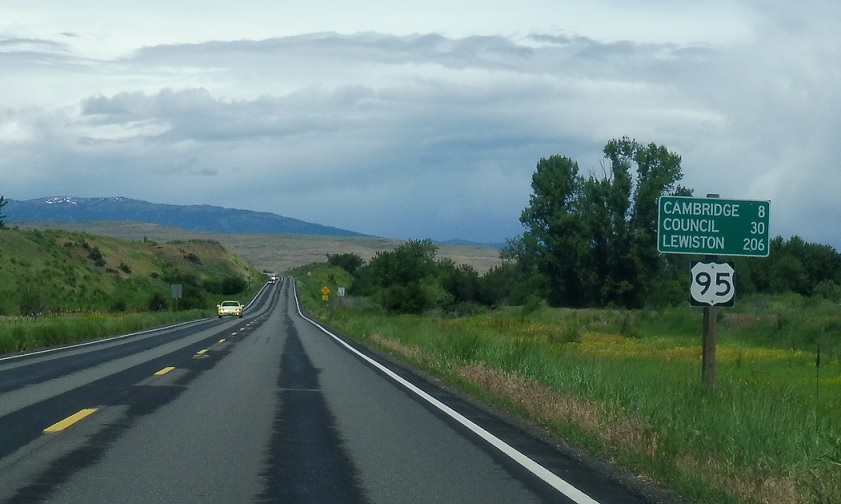
AMP: 110
Location: US 95 and Shoepeg Rd, Washington Cty
Reassurance shield a few miles later as we begin to go over a little pass to Cambridge.
(Historic Photo: June 2017)
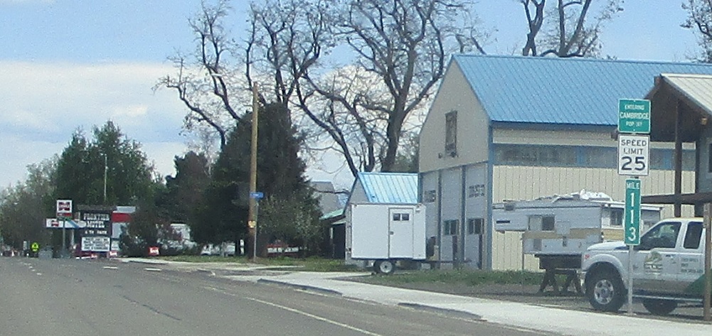
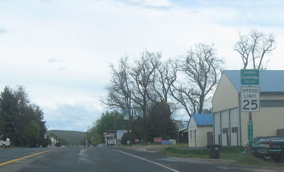
AMP: 113
Location: Superior St and Haller Ave, Cambridge
A couple miles later, we’ll enter the town of Cambridge. Curiously, the mixed-case sign was replaced with an older-style all-caps sign sometime between 2017 and 2020.
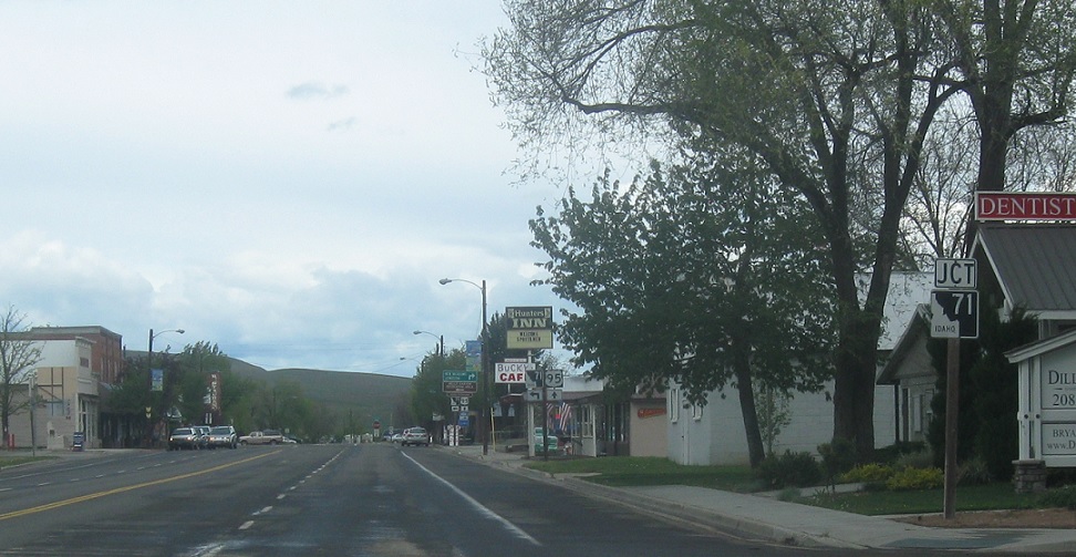
AMP: 113
Location: Superior St and Washington Ave, Cambridge
A few blocks into Cambridge, we’ll approach Highway 71.
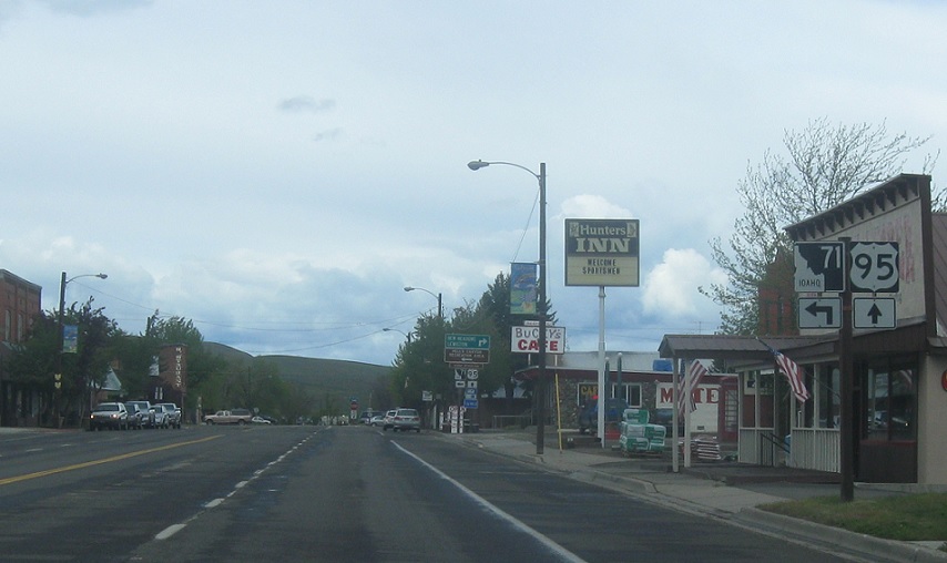
AMP: 113
Location: Superior St and Hopper Ave, Cambridge
In a block, turn left for SH-71. Stay straight for 95 north.
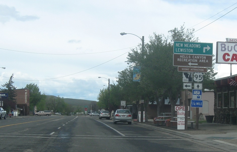
AMP: 113
Location: Superior St and Hopper Ave, Cambridge
Follow 95 towards New Meadows and Lewiston. Take 71 towards Hells Canyon and the Wallowa Mountains region of Oregon. The road serves as a long backroad over to Baker City, but it’s probably faster to go down to Weiser and around.

