
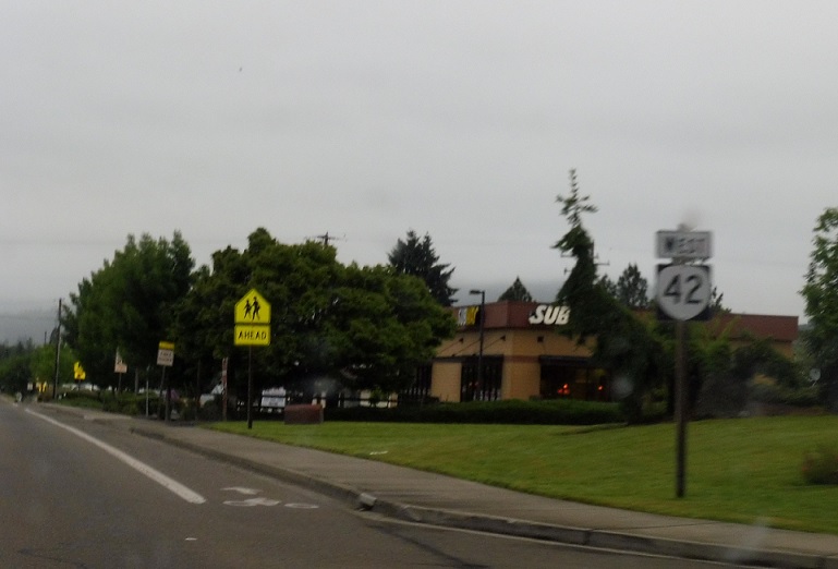
AMP: Coos Bay-Roseburg Hwy #35/73
Location: Douglas Blvd and Glenhart St, Winston
Reassurance shield a couple blocks after the 99 split.
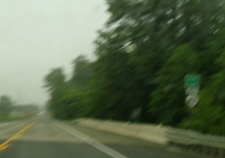
AMP: 67
Location: OR 42 and Olalla Rd, Douglas Cty
Reassurance shield a couple miles later as we cross Olalla Creek.
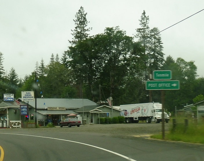
AMP: 64
Location: OR 42 and Gumdrop Ln, Tenmile, Douglas Cty
Ten miles west of Winston, we’ll enter unincorporated Tenmile.
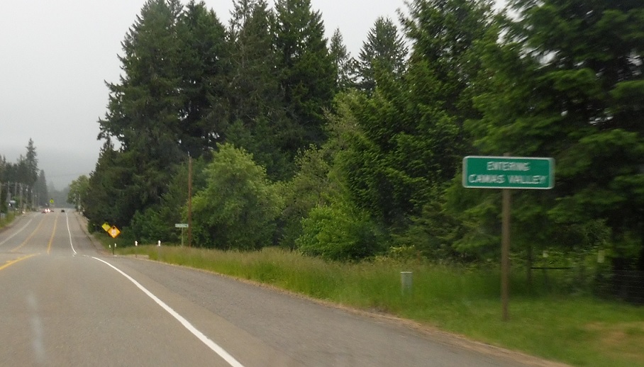
AMP: 55
Location: OR 42 and Kirkendall Rd, Camas Valley
A few miles later, we’ll enter Camas Valley.
AMP: 54
Location: OR 42 and Burma Rd, Douglas Cty
Reassurance shield as we head out of Camas Valley.
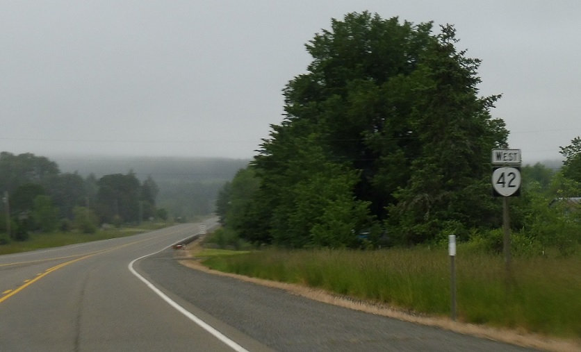
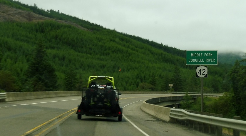
AMP: 52
Location: OR 42 and Westside Rd, Douglas Cty
After Camas Valley, we’ll follow the Middle Fork of the Coquille all the way to Coquille.
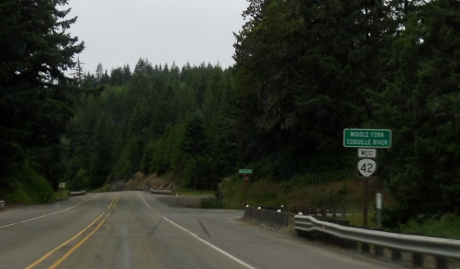
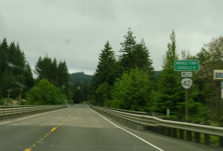
AMP: 51
Location: OR 42 and County Rd, Douglas Cty
Which means lots of reassurance shields as we cross it over and over again.
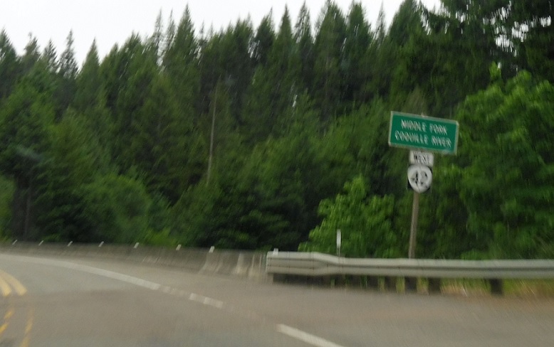
AMP: 50
Location: OR 42 and County Rd, Douglas Cty
Another reassurance shield a mile later. The last two photos are about as similar as two photos in two different places can get.
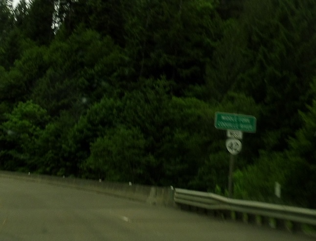
AMP: 47
Location: OR 42 and County Rd, Douglas Cty
And another a couple miles later as we near the Coos County line.
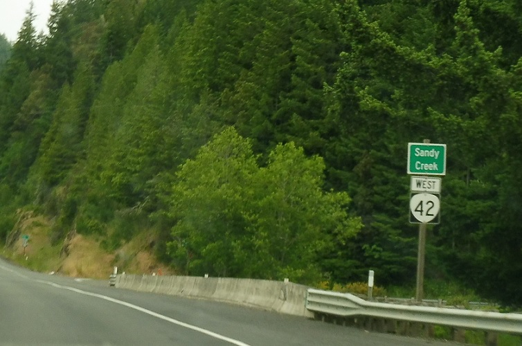
AMP: 37
Location: OR 42 and Sandy Creek Rd, Coos Cty
After we enter Coos County, we’ll stop crossing the river for a while, and we’re reassured as we cross Sandy Creek.
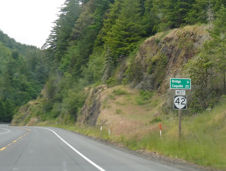
AMP: 37
Location: OR 42 and Sandy Creek Rd, Coos Cty
Mileage sign just after the last reassurance shield.
AMP: 30
Location: OR 42 and Myrtle Creek Rd, Coos Cty
Back to the regularly scheduled programming.
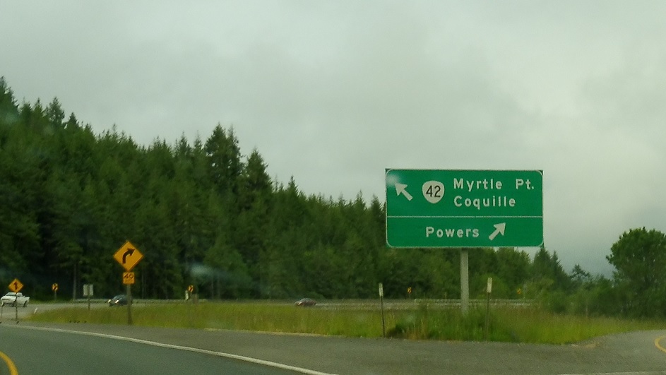
AMP: 23
Location: OR 42 and Powers Hwy, Coos Cty
A few miles later, exit for the Powers Hwy/OR 542, which spurs down to Powers. Keep left to stay on 42 for Myrtle Point and Coquille.


