
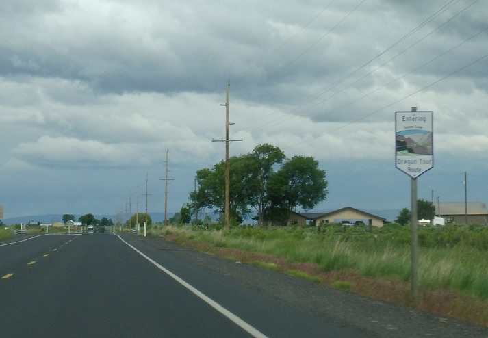
AMP: Steens Hwy #442/1
Location: OR 78 and OR 205, Harney Cty
No reassurance shield after the OR 205 junction, but we are on the Scenic Oregon Tour Route.
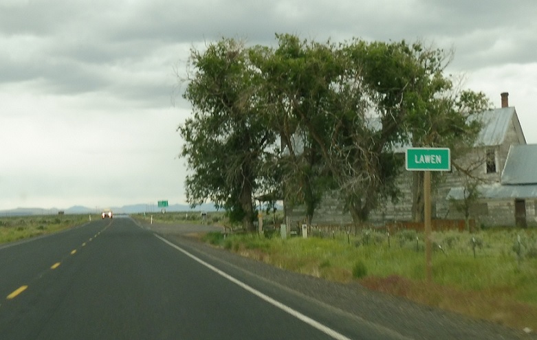
AMP: 16
Location: OR 78 and Lawen Ln, Lawen, Harney Cty
Fifteen miles later, we’ll pass by Lawen, which is just an abandoned homestead at this point.
AMP: 16
Location: OR 78 and Lawen Ln, Harney Cty
Reassurance shield as we head out of Lawen.
AMP: 28
Location: OR 78 and Crane-Venator Rd, Harney Cty
Twelve miles later, keep right to stay on OR 78.
AMP: 28
Location: OR 78 and Crane-Venator Rd, Harney Cty
Reassurance shield as we head out of Crane.
AMP: 37
Location: OR 78 and Lava Bed Rd, Harney Cty
Nine miles later, keep left to continue southeast, as Oregon switches to all-Nevada control cities.
AMP: 37
Location: OR 78 and Lava Beds Rd, Harney Cty
What may be the oldest distance sign left in Oregon.
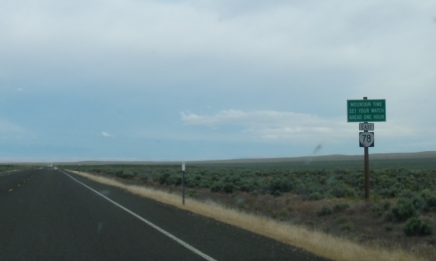
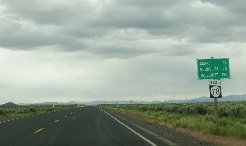
AMP: 84
Location: OR 78 and Iron Mountain Rd, Malheur Cty
After that, we enter some of the most desolate territory in all of Oregon, and there’s no signage for almost fifty miles until we enter Mountain Time in Malheur County.
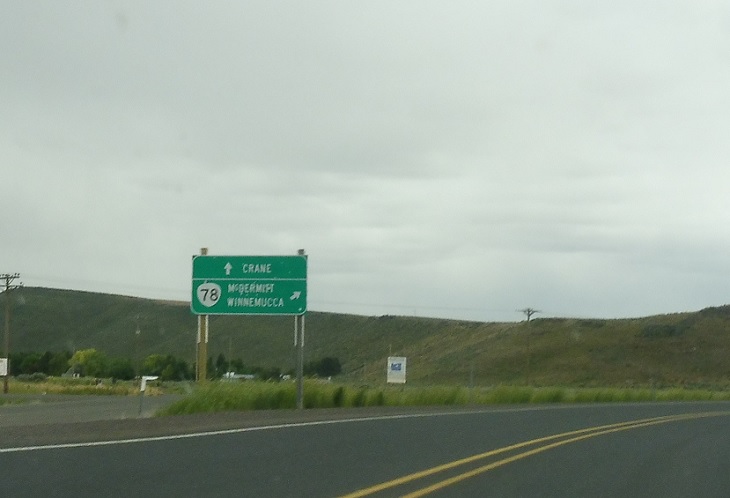
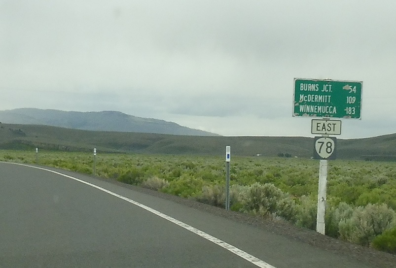
AMP: 91
Location: OR 78 and US 95, Malheur Cty
Several miles later, we’ll approach US 95.
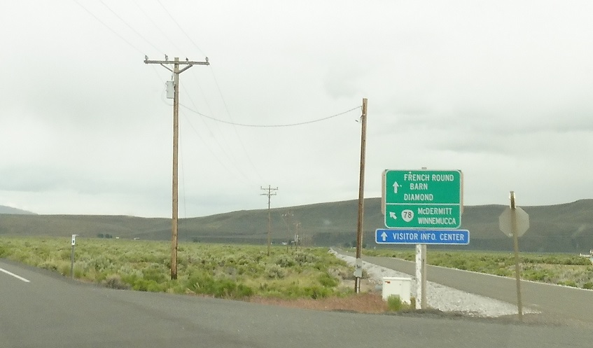
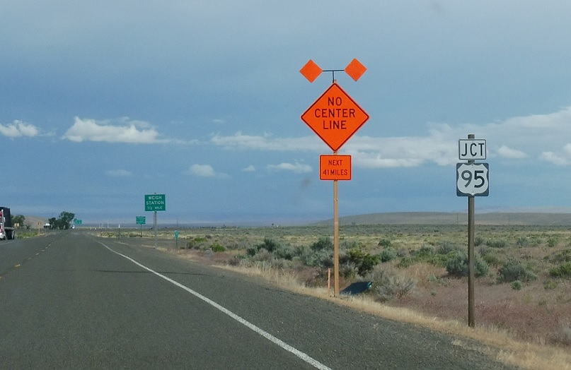
AMP: 91
Location: OR 78 and US 95, Malheur Cty
Stay straight for 95 south to Nevada and keep left for 95 north to Idaho.
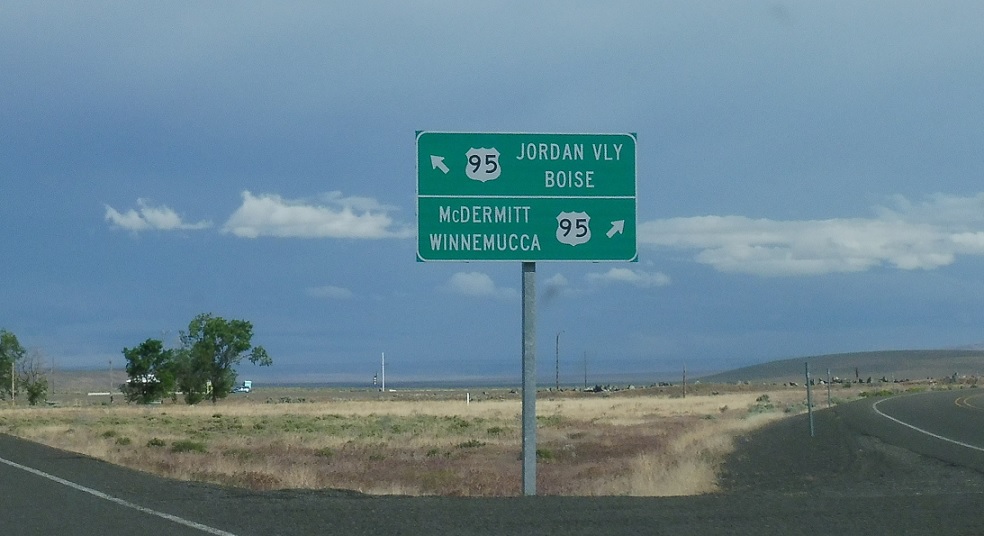
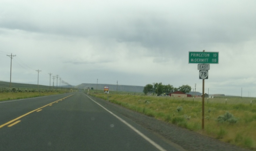
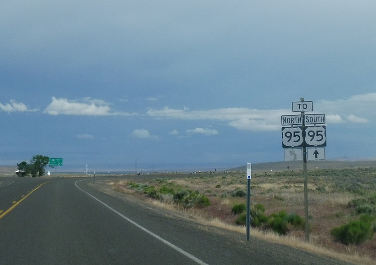
AMP: 91
Location: OR 78 and US 95, Malheur Cty
Follow 95 south to McDermitt, Nev. and Winnemucca, Nev. Take 95 north to Jordan Valley, Ore. and Boise, Idaho. Oregon 78 ends.

 N to ID State Line, S to NV State Line

