
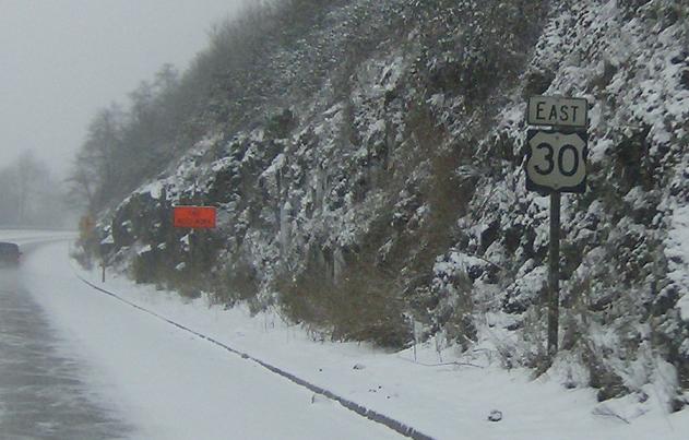
Last Driven April 2015
MP: Lower Columbia River Hwy #92/48.44
Location: Lower Columbia River Hwy and Rock Crest St, Rainier
Reassurance shield after the bridge to Washington State
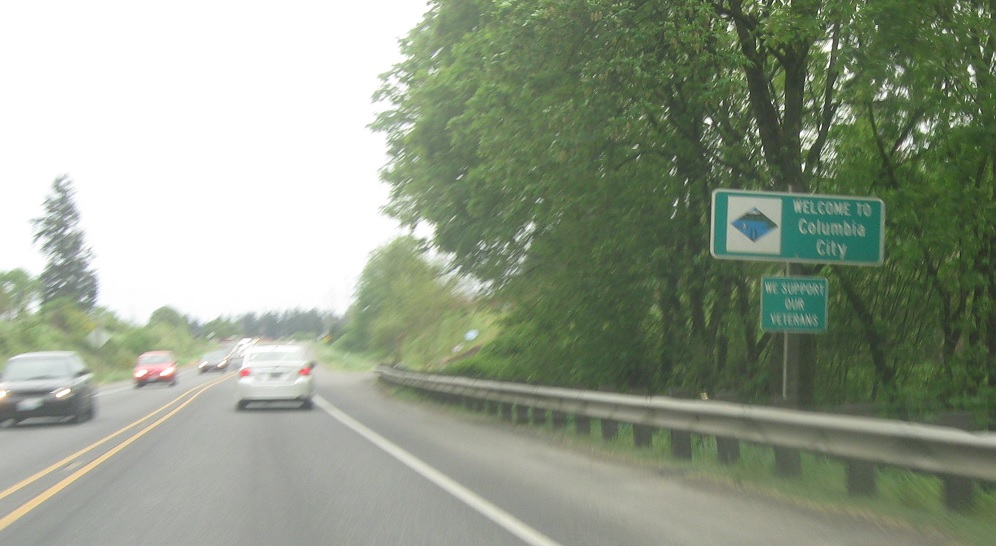
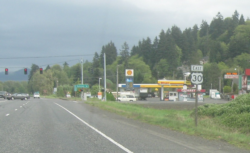
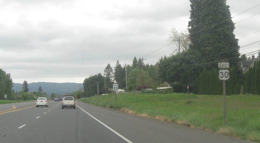
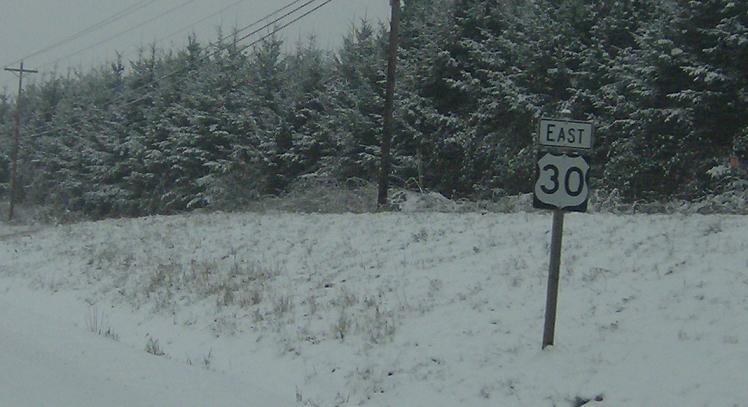
MP: Lower Columbia River Hwy #92/31.98
Location: Columbia River Hwy and Pacific St, Columbia City
Several miles later, we’ll enter Columbia City.
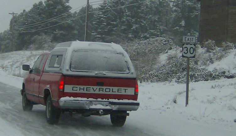
MP: Lower Columbia River Hwy #92/27.82
Location: Columbia River Hwy and Sykes Rd, St. Helens
A few miles later, we’ll enter St. Helens and there’s a reassurance shield as we pass through the strip mall part of town.
MP: 25.58
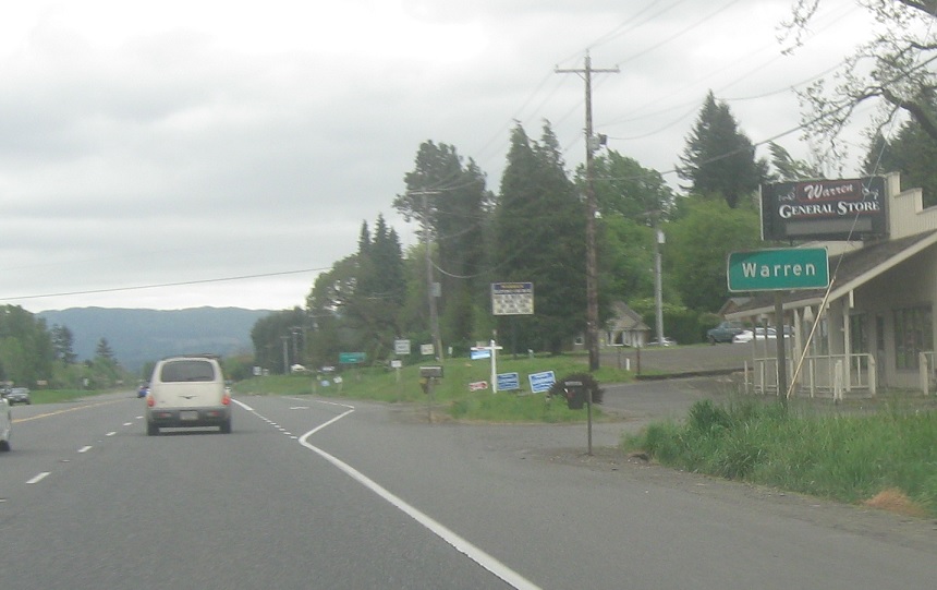
Location: Columbia River Hwy and Church Rd, Warren, Columbia Cty
A few miles later, we’ll approach the town of Warren.
MP: Lower Columbia River Hwy #92/25.39
Location: Lower Columbia River Hwy and Church Rd, Warren, Columbia Cty
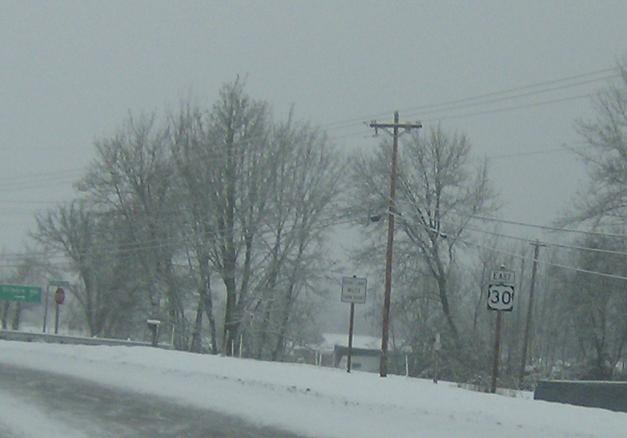
No signage for a really long time until we get south of St Helens where we will be presented with a barrage of them in the next 25 miles before joining I-405. They’d do well to space these out better
MP: Lower Columbia River Hwy #92/24.86
Location: Lower Columbia River Hwy and Berg Rd, Warren, Columbia Cty
Another reassurance shield as we pass Warren
MP: Lower Columbia River Hwy #92/24.43
Location: Lower Columbia River Hwy and Slavens Rd, Columbia Cty
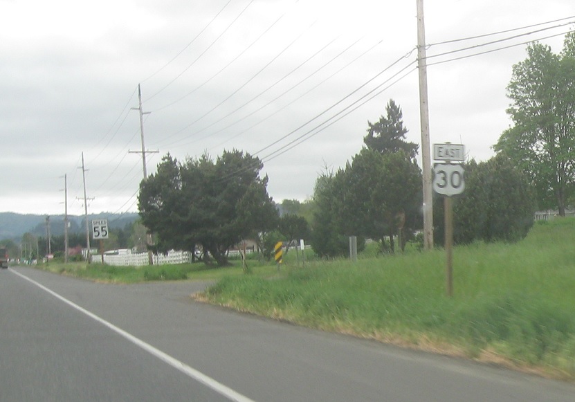
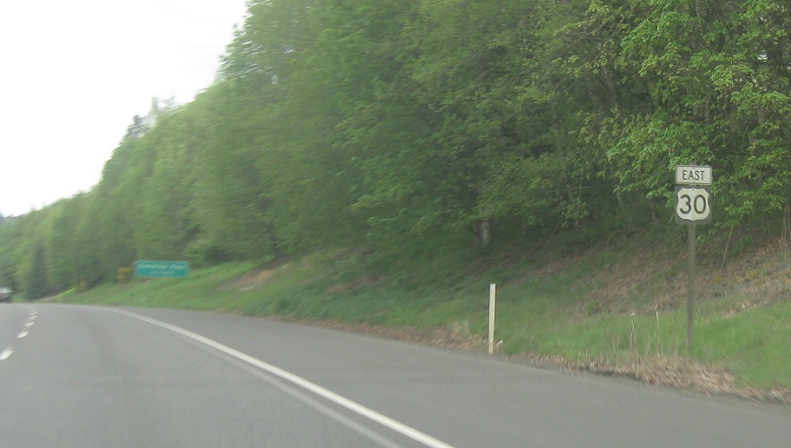
Another reassurance shield- these show up after just about every major road
MP: Lower Columbia River Hwy #92/23.76
Location: Lower Columbia River Hwy and Tarbell Rd, Columbia Cty
Reassurance shield after Tarbell Rd as we make our way down this 4 lane fully at-grade road
MP: Lower Columbia River Hwy #92/23.33
Location: Lower Columbia River Hwy and Fullerton Rd, Columbia Cty
Another reassurance shield
MP: Lower Columbia River Hwy #92/22.42
Location: Lower Columbia River Hwy and Lane Rd, Scappoose
Reassurance shield as we pass the road to the Scappoose Airport and enter the Scappoose area
MP: Lower Columbia River Hwy #92/21.93
Location: Lower Columbia River Hwy and Gilmore Rd, Scappoose
Interesting reassurance shield in that this one is immediately BEFORE the major road
MP: Lower Columbia River Hwy #92/14.13
Location: Lower Columbia River Hwy and Zane’s Rd, Holbrook, Columbia Cty
Brief break from reassurance shields as we pass through Scappoose, then another one as we pass through unincorporated Holbrook
MP: Lower Columbia River Hwy #92/12.95
Location: Lower Columbia River Hwy and NW McNamee Rd, Multnomah Cty
Reassurance shield just after we pass into Multnomah Cty
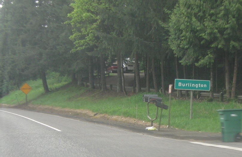
MP: Lower Columbia River Hwy #92/12.87
Location: Columbia River Hwy and Burlington Dr, Burlington, Multnomah Cty
A few miles later, we’ll enter Burlington.
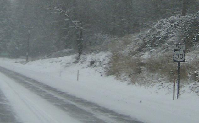
MP: 10.64
Location: Lower Columbia River Hwy and NW Larson Rd, Multnomah Cty
Reassurance shield after a county bridge into Washington state
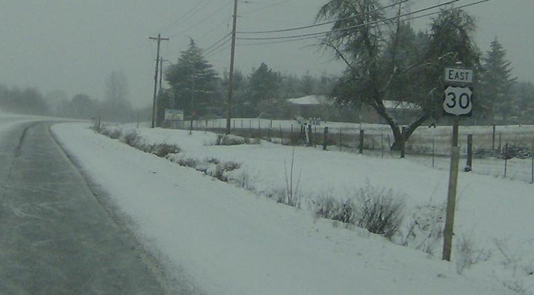
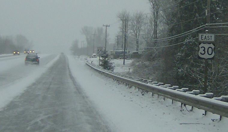
(Historic Photo: December 2008)
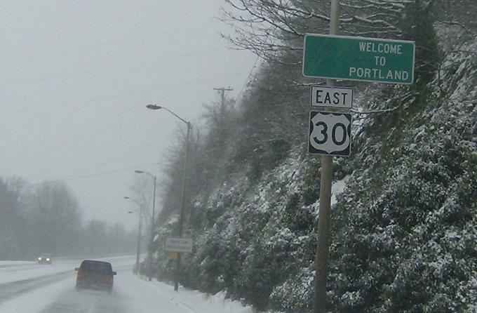
MP: Lower Columbia River Hwy #92/9.61
Location: Lower Columbia River Hwy and NW Harborton Dr, Portland
Reassurance shield as we enter the city of roses
MP: Lower Columbia River Hwy #92/8.24
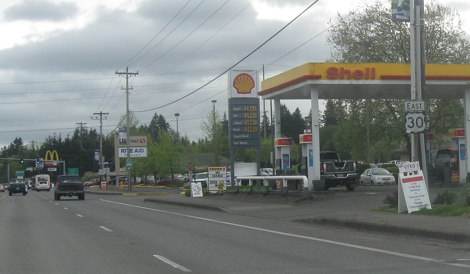
Location: NW St. Helens Blvd and NW 1st St, Portland
Reassurance shield as we pass a bunch of gas stations
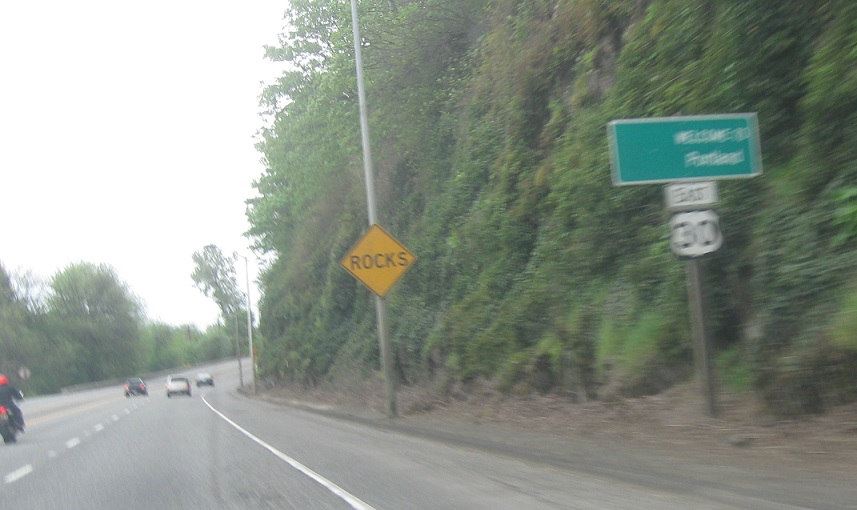
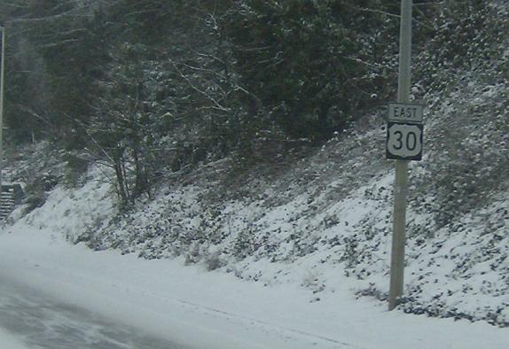
MP: Lower Columbia River Hwy #92/7.49
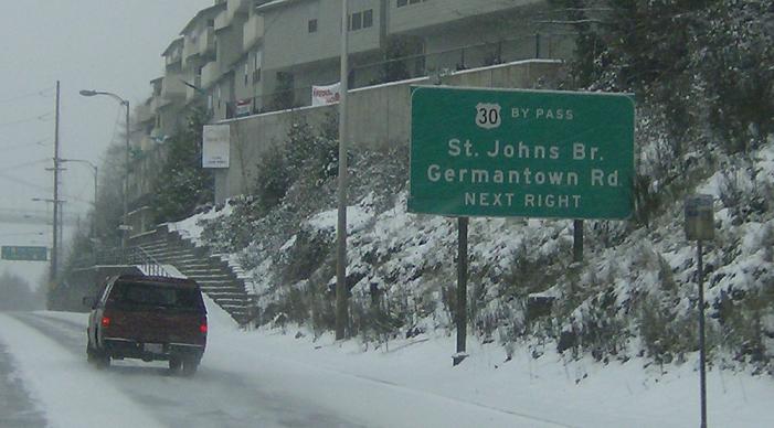
Location: NW St. Helens Blvd and NW St Johns Bridge, Portland
Junction US-30 bypass coming up, which heads through north Portland and joins I-84/US-30 on the east end of town. It used to actually be a faster way, but since the construction of the interstate it’s faster just to stay on mainline 30
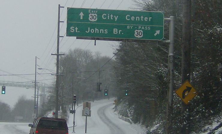
MP: Lower Columbia River Hwy #92/7.34
Location: NW St Helens Blvd and NW St John’s Brg, Portland
Bear right to head over the Columbia River into North Portland


