
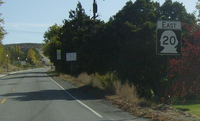
MP: 262.02
Location: 6th St and Whitcomb Ave, Tonasket
Giant reassurance shield after the split
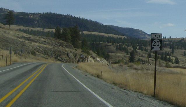
MP: 274.74
Location: SR 20 and Aenas Valley Rd, Okanogan Cty
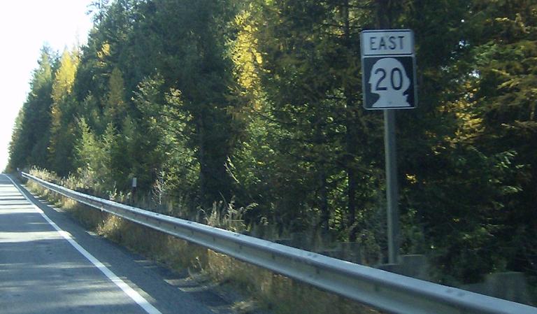
Reassurance shield as we pass through a mountain valley
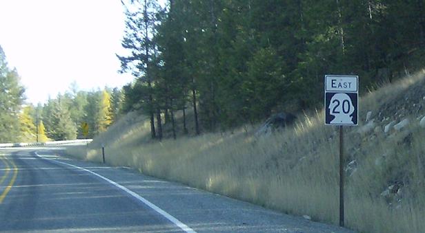
MP: 282.28
Location: SR 20 and Bonaparte Lake Rd, Okanogan Cty
Reassurance shield after the road up to Bonaparte Lake
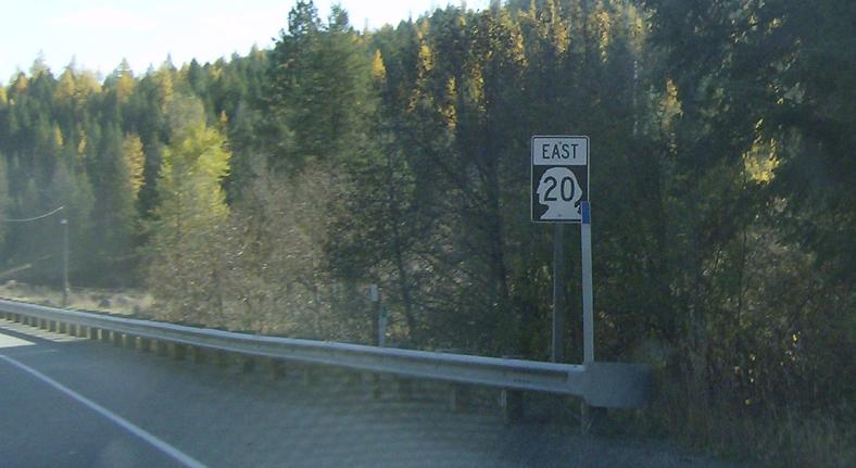
MP: 285.64
Location: SR 20 and Toroda Creek Rd, Okanogan Cty
Another reassurance shield along this slightly mountainous-with random high plains intertwined stretch
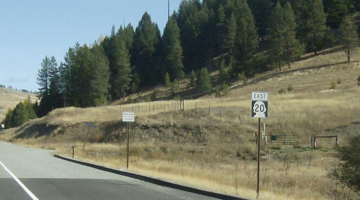
MP: 293.59
Location: SR 20 and NF-31, Okanogan Cty
Reassurance shield after a turnoff for a campground sortly after crossing Wauconda Pass
MP: 299.78
Location: SR 20 and Trout Creek Rd, Ferry Cty
Reassurance shield after a small unnamed settlement
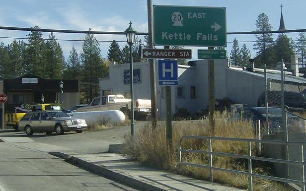
MP: 302.02
Location: W 6th St and S Clark Ave, Republic
SR 20 enters the beautful little logging town of Republic and turns right to head east out of town
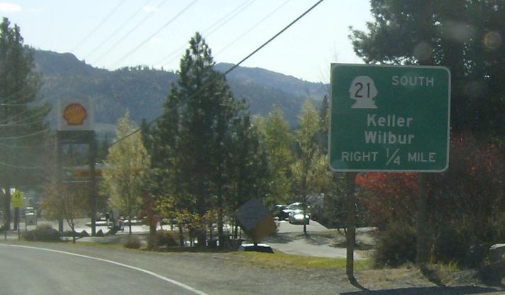
MP: 302.41
Location: S Clark Ave and Keller St, Republic
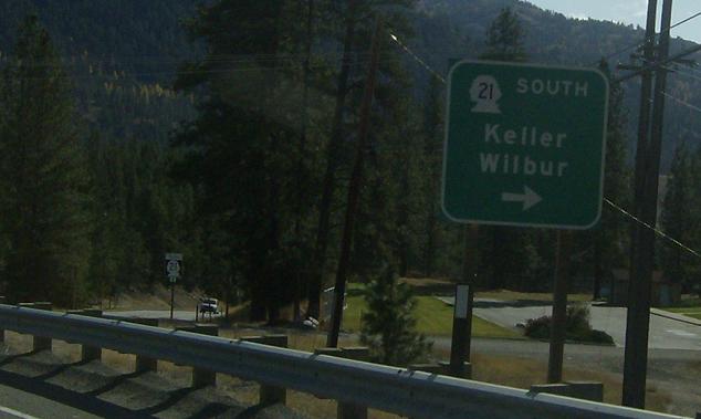
Junction SR 21 coming up in a quarter mile. 21 south heads about 2/3 of the way down the state without ever passing through a town with more than 1200 people in it, and 21 north will run concurrent with SR 20 for a few miles
MP: 302.62
Location: S Clark Ave and SR 21, Republic
Turn right for SR 21 south, straight for 20 east/21 north

 N to SR 20, S to Keller Ferry Terminal
 N to BC-97/BC International Boundary, S to SR 215
