
Last Driven May 2018
MP: 81.04
Location: SR 25 and US 395, Stevens Cty
Reassurance shield as SR 25 begins.
(Historic Photo: September 2008)
MP: 80.94
Location: SR 25 and W 3rd Ave, Stevens Cty
The old first reassurance shield was located a tenth of a mile later and lacked a directional barrier.
(Historic Photo: September 2008)
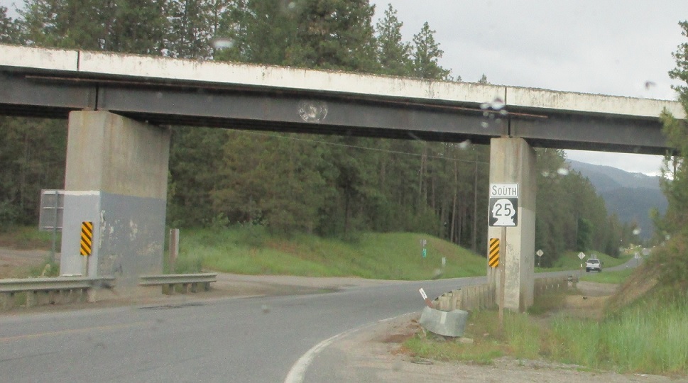
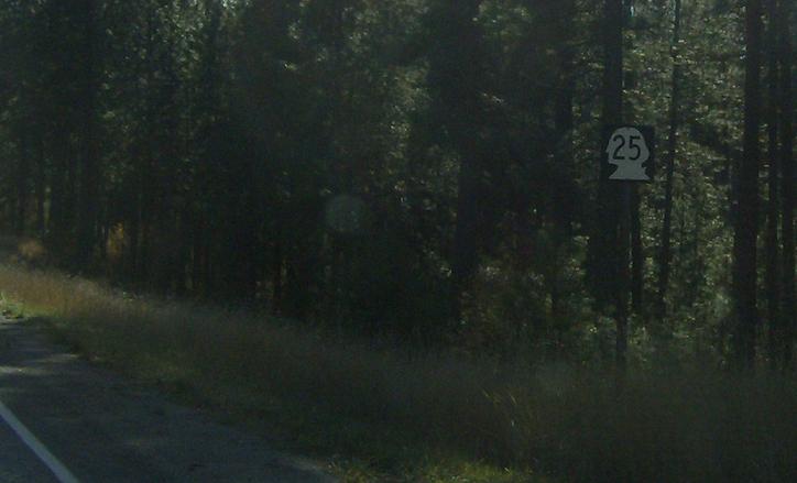
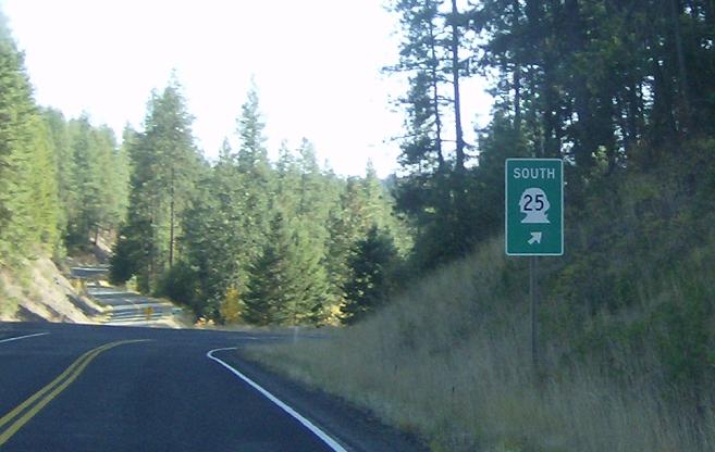
MP: 69.82
Location: SR 25, Stevens Cty
Reassurance shield nowhere remotely near an intersection
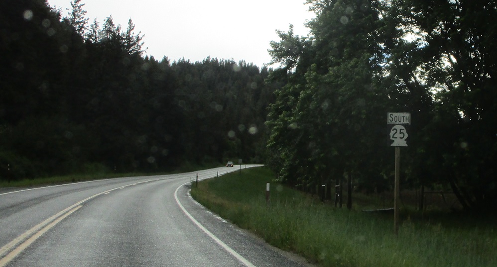
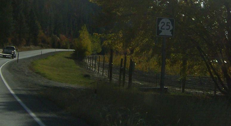
MP: 67.84
Location: SR 25 and Rotter Rd, Stevens Cty
Reassurance shield a couple miles later.
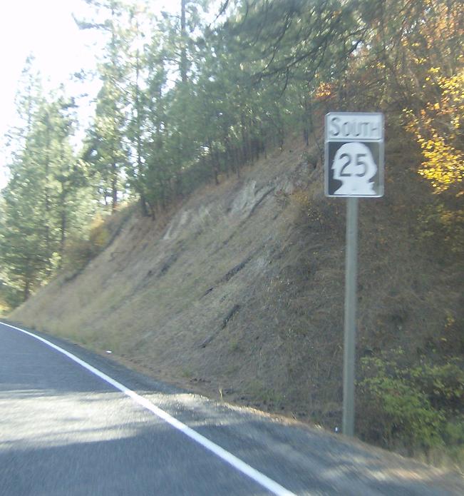
MP: 61.52
Location: SR 25 and Daisy Mine Rd, Daisy, Stevens Cty
Reassurance shield as we pass by the settlement of Daisy
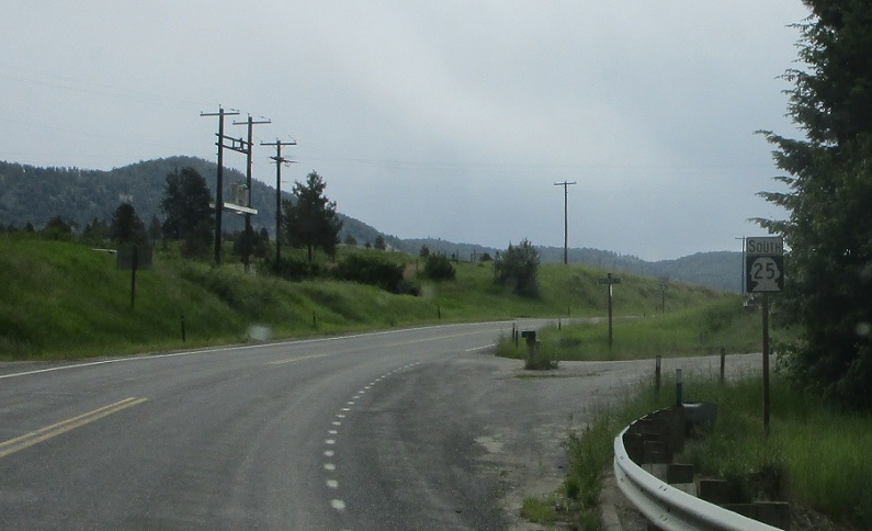
MP: 57.84
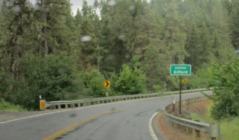
Location: SR 25 and Addy-Gifford Rd, Stevens Cty
A couple miles later, we’ll pass by Gifford.
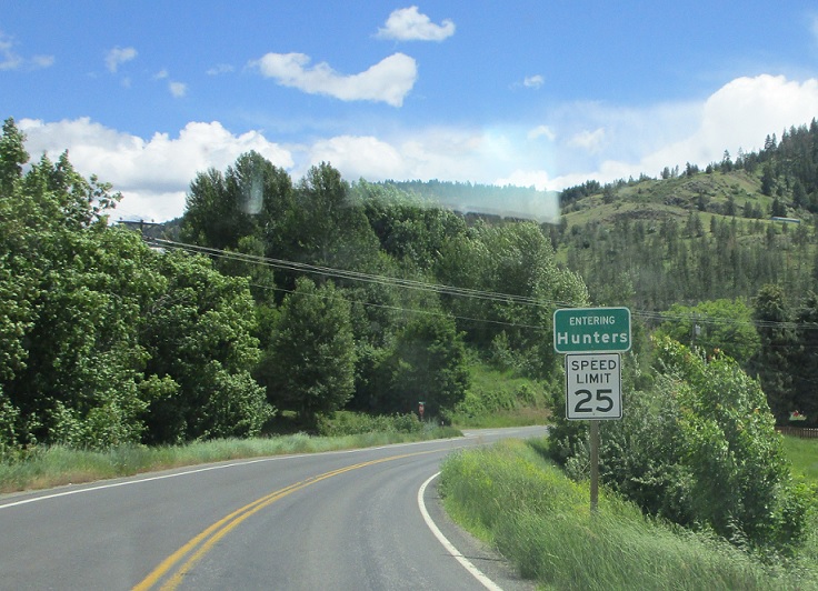
MP: 42.6
Location: SR 25 and Melin Rd, Hunters
And then we’ll enter the town of Hunters.
(HIstoric Photo: September 2008)
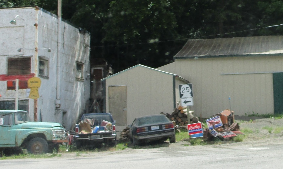
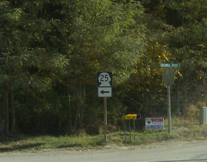
MP: 42.33
Location: SR 25 and Columbia River Rd, Hunters
SR 25 turns left to head out of the tiny town of Hunters
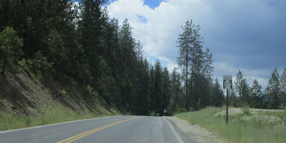
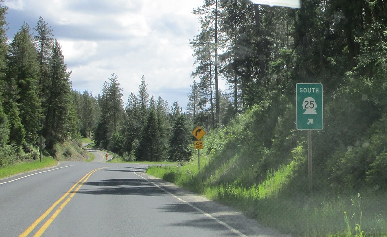
MP: 41.69
Location: SR 25 and Springdale-Hunters Rd, Stevens Cty
Reassurance shield after passing the back road over to SR 231 and Springdale
MP: 37.71
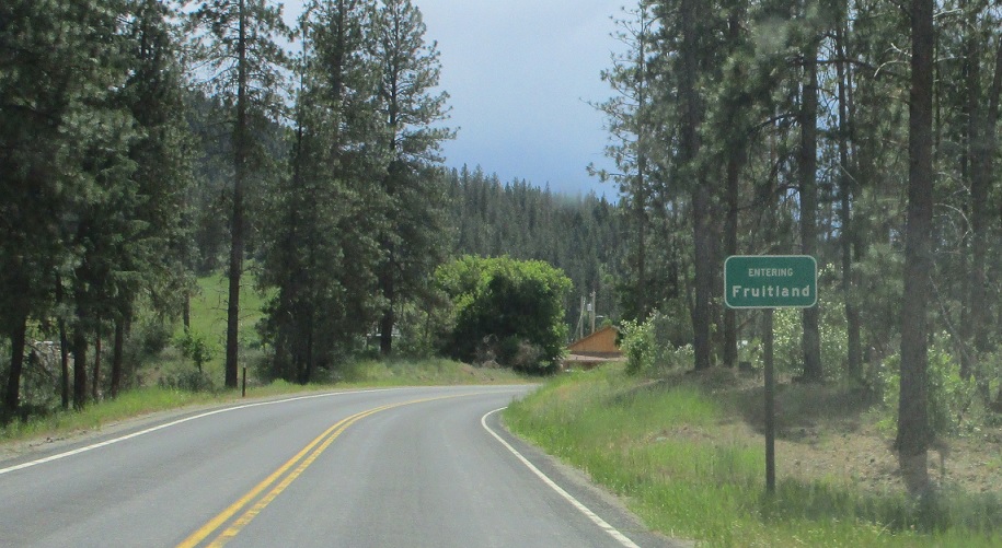
Location: SR 25 and Fruitland Valley Rd, Fruitland, Stevens Cty
Welcome to Fruitland!
(Historic Photo: September 2008)
MP: 36.28
Location: SR 25 and Mudget Lake Rd, Stevens Cty
SR 25 bears right at Mudget Lake Rd
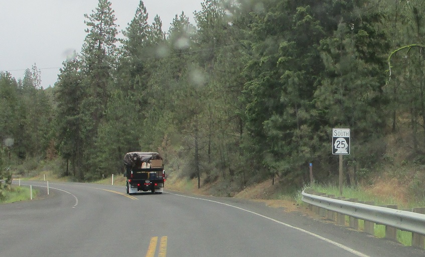
MP: 22.58
Location: SR 25 and Miles Rd, Lincoln Cty
Reassurance shield after Fort Spokane State Park
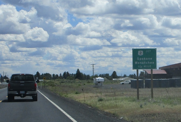
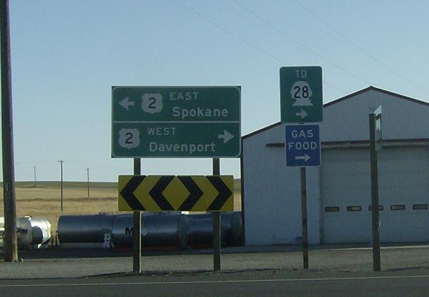
MP: .52
Location: SR 25 and US-2, Davenport
Junction US-2 coming up in half a mile as we enter the east edge of Davenport
MP: .3
Location: SR 25 and US 2, Davenport
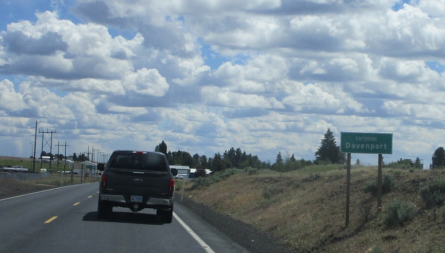
Welcome to Davenport!
MP: 0
Location: SR 25 and US-2, Davenport
Turn left for 2 east, right for 2 west. Go through Davenport to get to SR 28, a major state route connecting the areas between US-2 and I-90
 N to BC-6/BC International Boundary

