
Last Driven May 2018
(Historic Photo: August 2008)
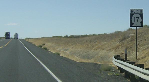
MP: 15.09
Location: SR 17 and SR 260, Franklin Cty
Reassurance shield after the SR 260 junction
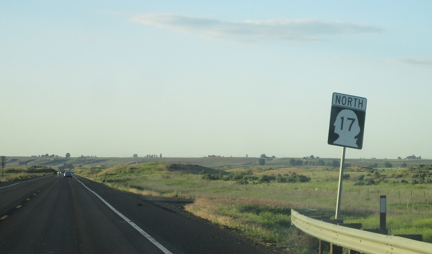
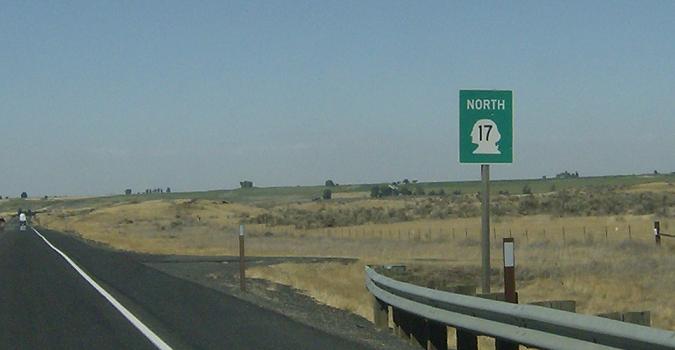
MP: 20.31
Location: SR 17 and Booker Rd, Franklin Cty
Reassurance shield as we come up on the northern edge of Franklin County
(Historic Photo: August 2008)
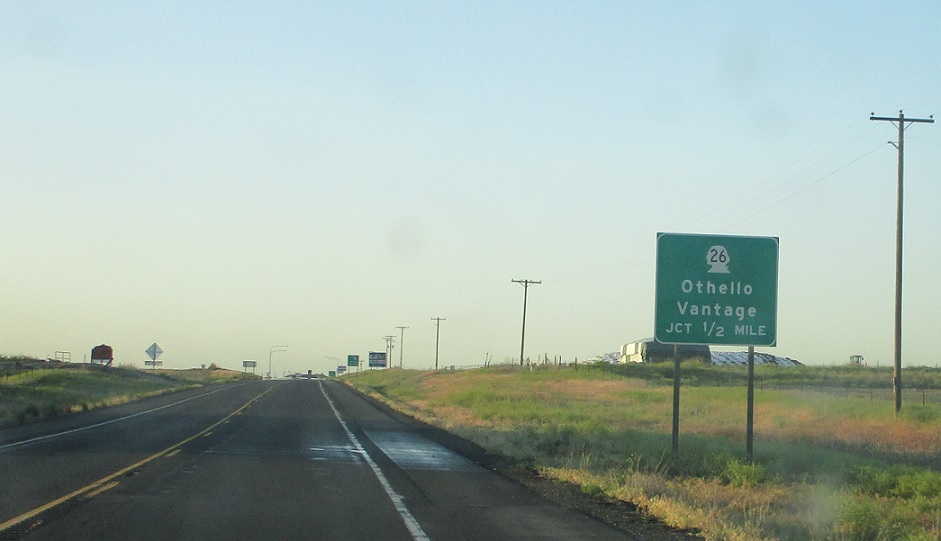
MP: 27.48
Location: SR 17 and Bench Rd, Adams Cty
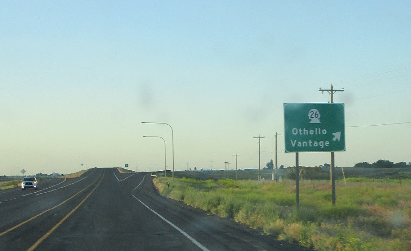
Junction SR 26 coming up. SR 26 is a major cross state highway that runs between US-12 and I-90. Taking 26 east runs to the US-395 expressway which heads up to Spokane. For whatever reason, WSDOT decided it wasn’t important to note that when they did their most recent sign replacement.
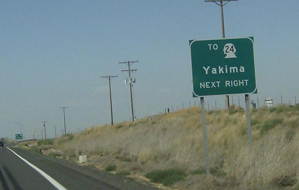
MP: 27.71
Location: SR 17 and SR 26, Othello
Taking SR 26 west across the southern boundary of Othello for a mile or so leads to the eastern terminus of SR 24, which heads to Yakima
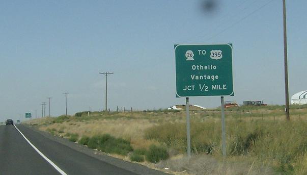
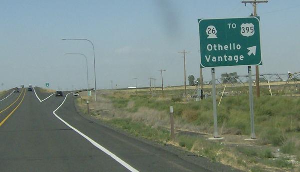
MP: 27.93
Location: SR 17 and SR 26, Othello
As SR 17 and SR 26 both carry a substantial amount of traffic, a grade-separated diamond interchange was constructed at their intersection. Exit for SR 26


