
Last Driven May 2014
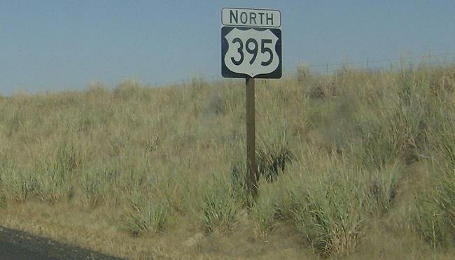
MP: 66.86
Location: US 395 and SR 26, Adams Cty
Reassurance shield after junction SR 26
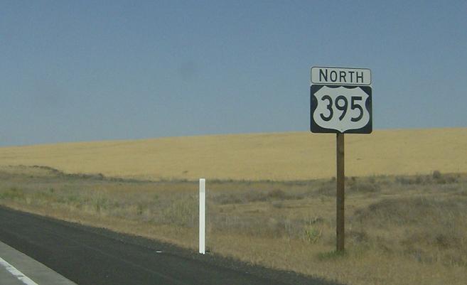
MP: 70.73
Location: US 395 and Cunningham Rd, Adams Cty
Reassurance shield after the Cunningham Rd intersection
(Historic Photo: July 2008)
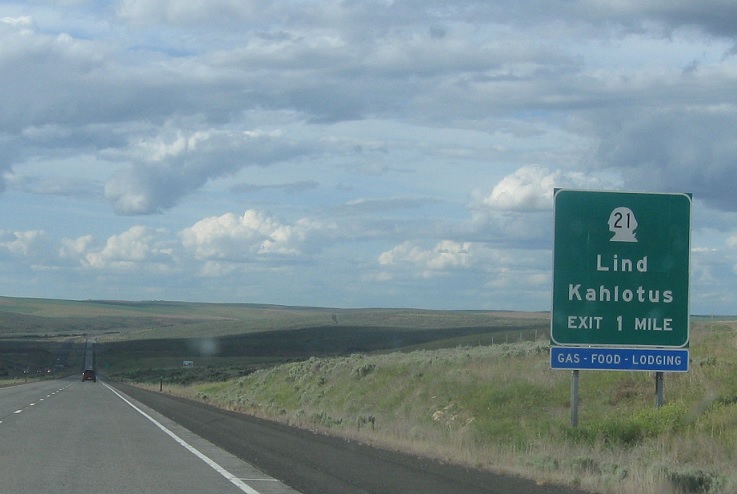
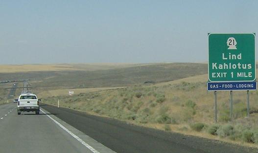
MP: 80.78
Location: US 395 and SR 21, Lind
Junction SR 21 coming up in a mile. SR 21 is a really fucking long state highway that runs from SR 260 clear up to Canada without serving any major purpose. It’s probably the most insignificant long highway in the state
(Historic Photo: July 2008)
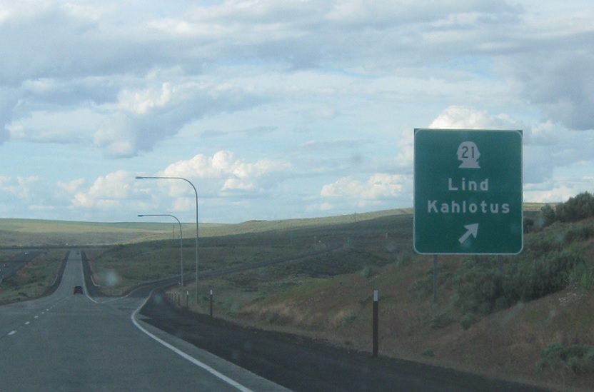
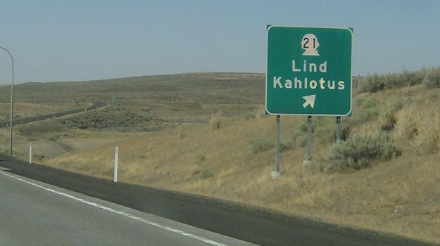
MP: 81.66
Location: US 395 and SR 21, Lind
SR 21 exits, heads north to nowhere and south to nowhere


