
Last Driven April 2015
(Historic Photo: August 2008)
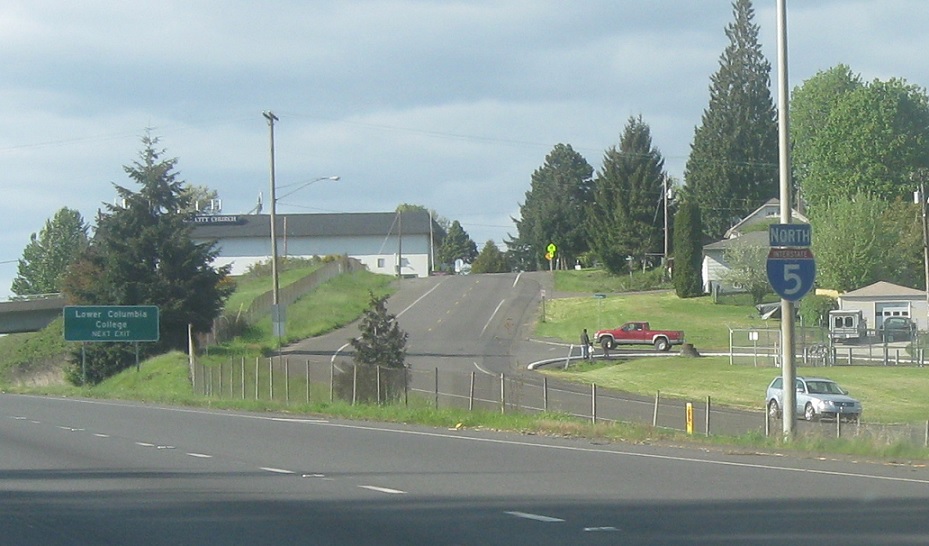
MP: 40.25
Location: I-5 and Allen St, Kelso
Reassurance shield after SR 4
(Historic Photo: May 2008)
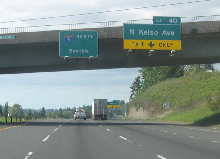
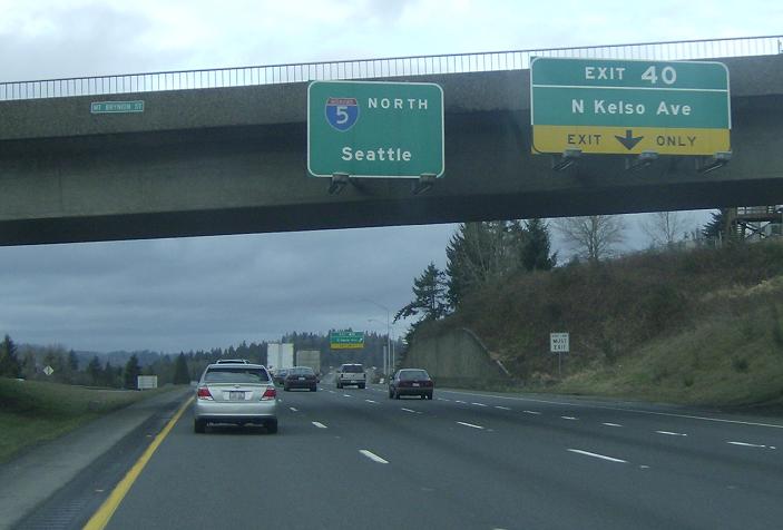
MP: 40.43B
Location: I-5 and N Kelso Ave, Kelso
BGS for I-5, Kelso Ave used to be SR 431
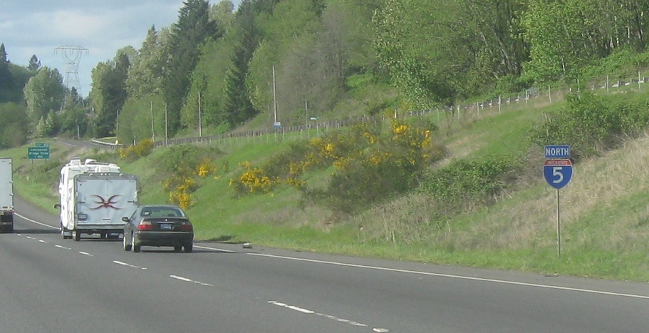
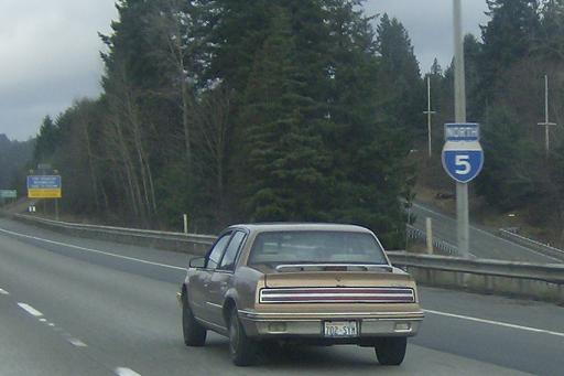
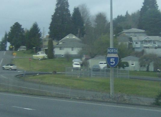
MP: 41.12
Location: I-5 and Kelso Ave, Kelso
Reassurance shield after Kelso Ave
MP: 43.09
Location: I-5 and N Ostrander Rd, Ostrander, Cowlitz Cty
Reassurance shield after Ostrander Rd
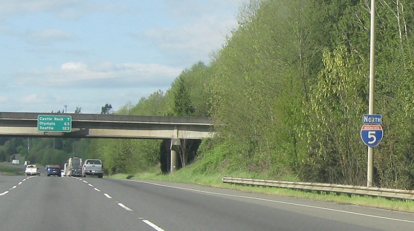
MP: 46.78
Location: I-5 and N Headquarters Rd, Headquarters, Cowlitz Cty
Reassurance shield after the Headquarters Rd interchange
(Historic Photo: May 2008)
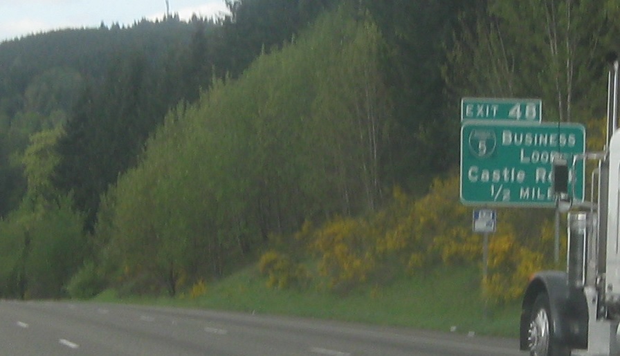
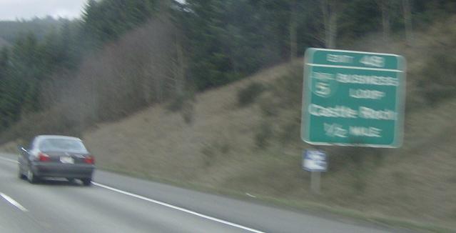
MP: 47.19
Location: I-5 and N Huntington Ave, Castle Rock
The only business loop remaining on Wash. I-5, it loops through Castle Rock and comes back with SR 411 and SR 504. Business loops are not a part of Washington’s state highway system and are not photographed or driven
(Historic Photo: May 2008)
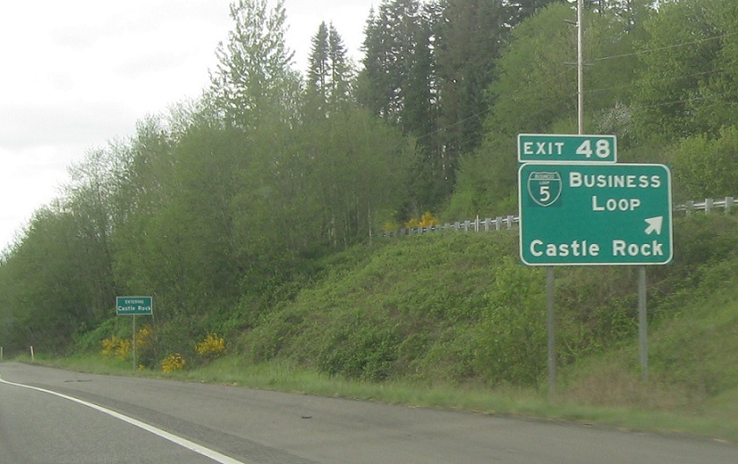
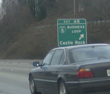
MP: 47.68
Location: I-5 and W Huntington Ave, Castle Rock
I-5 BUS exits, heads through Castle Rock
(Historic Photo: May 2008)
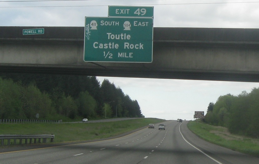
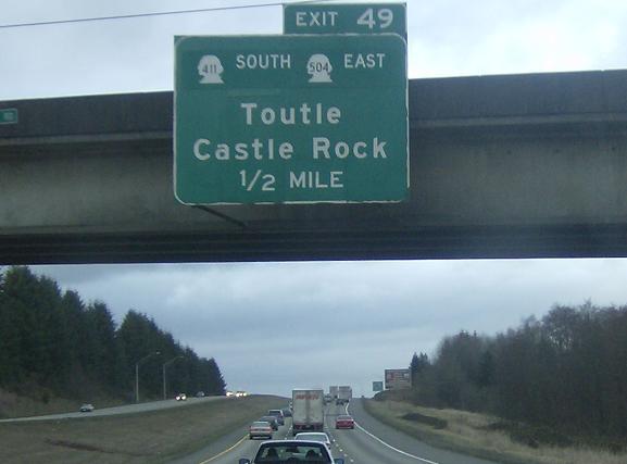
MP: 49.16
Location: I-5 and Huntington Ave N, Castle Rock
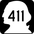
SR 411 and SR 504 coming up in one mile. This is a sort of odd situation as the roadway on the west side of the highway is SR 411 and the roadway on the east is SR 504 and these are both of their termini. SR 411 used to continue north to former SR 603 but was truncated to this point, and so it now ends where SR 504 starts
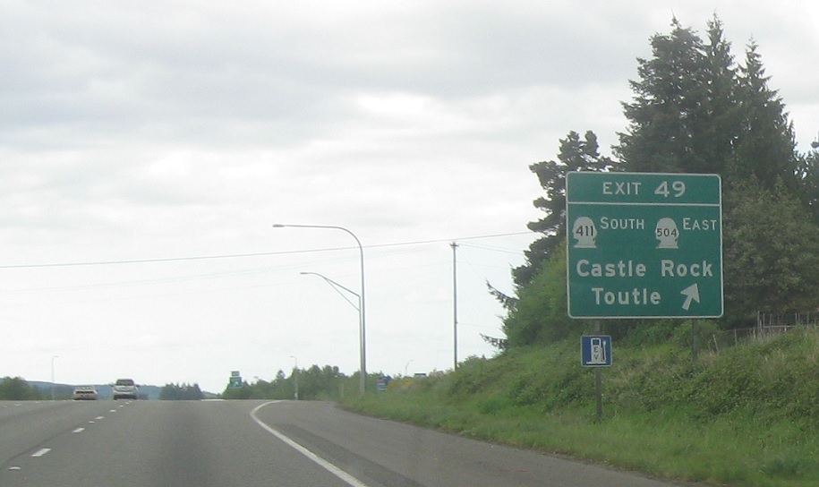
MP: 49.53
Location: I-5 and Huntington Ave NW, Castle Rock
SRs 411 and 504 exit, 411 heading back downt o Kelso and 504 heading east to Mt. St. Helens


