
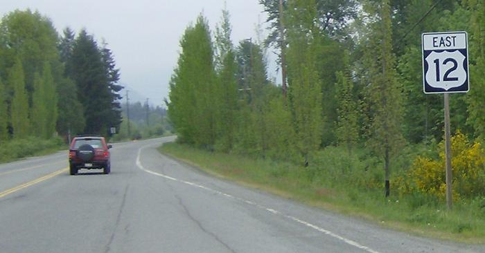
MP: 114.96
Location: US-12 and Woods Creek Rd, Randle
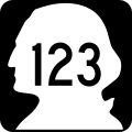
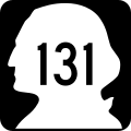
REassurance shield after SR 131
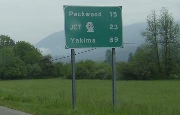
MP: 115.45
Location: Silverbrook Rd and US-12, Randle
23 miles to JCT SR 123. Ironic.
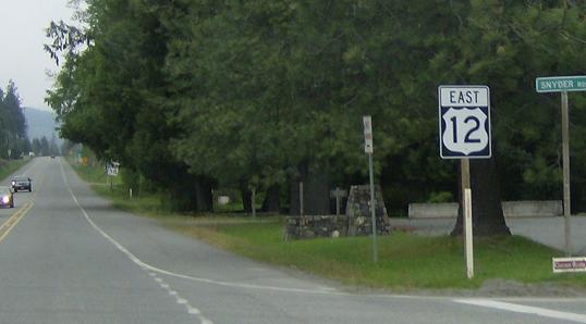
MP: 131.36
Location: US-12 and Snyder Rd, Packwood
Reassurance shield in Packwood
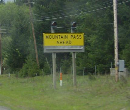
MP: 135.07
Location: Timberline Dr E and US-12, Lewis Cty
My favorite sign ever. It’s so ridiculous. A Mountain Pass spans like 70 miles. It’s not like a bump in the road or a dip or shit like that, it’s a whole pass. This sign could just as easily read “Deer Ahead”
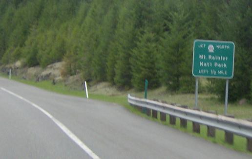
MP: 138.15
Location:Â US-12 and SR 123, Lewis Cty
SR 123 will turn off in half a mile, head up Cayuse Pass to SR 410. It’s rarely open, closed all of 2007
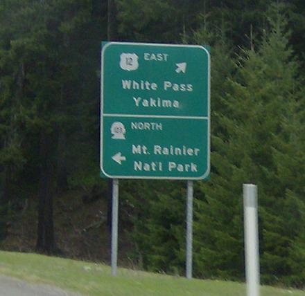
MP: 138.46
Location: SR 123 and US-12, Lewis Cty
SR 123 turns North

 S to Gifford-Pinchot National Forest
