this marks the final stretch of road driven as part of the Washingtonhighways.org project
MP: 321.76
Location: US-2 and SR 211, Pend Oreille Cty
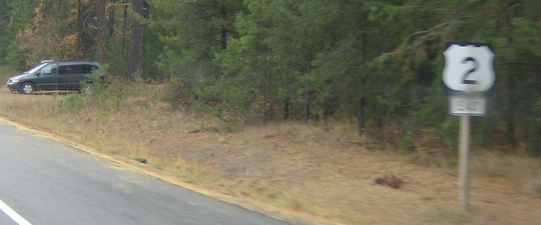
Reassurance shield buried in a ditch. Note the directional sitting on the bottom.
MP: 328.65
Location:US-2 and South Shore Rd, Pend Oreille Cty
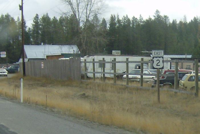
Reassurance shield as we enter the Newport area
MP: 333.85
Location: US-2 and W 4th St, Newport
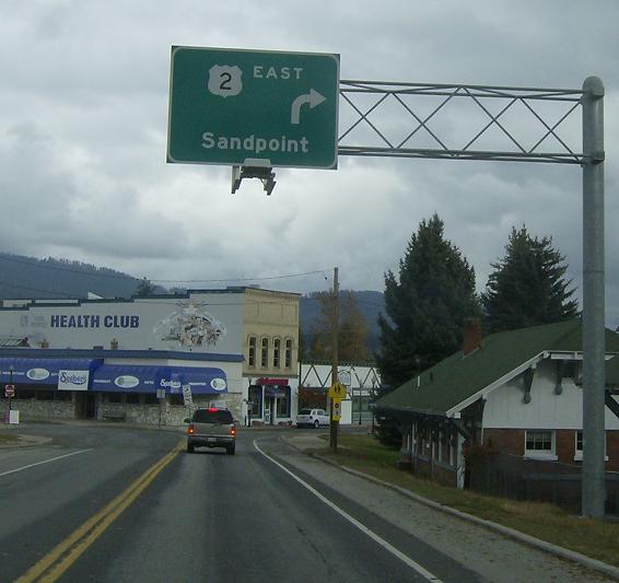
US-2 enters Newport. 2 East will bear right to enter the one way grid, 2 west will continue straight
MP: 333.98
Location: W 4th St and S Union Ave, Newport
US-2 will turn left to get on S Union Ave to head north through town
MP: 334.19
Location: S Union Ave and 1st St, Newport
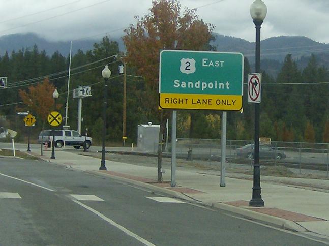
Prepare for a barrage of signs- I had to drive t his three times to get all of them. Right lane for US-2, which turns right in 3 blocks. On the opposite side of the street is a sign for SR 20, which you get to from the left lane
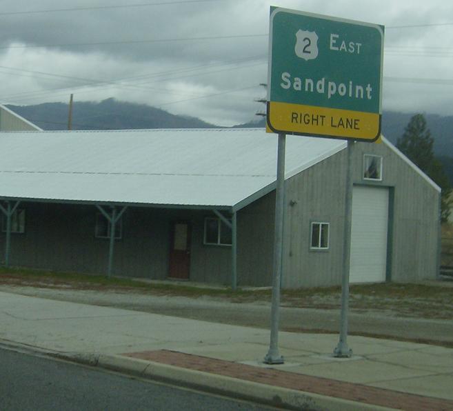
MP: 334.25
Location: S Union Ave and Pine St, Newport
Right lane for US-2 once again, left lane for SR 20 or return to 2 west via the one way grid
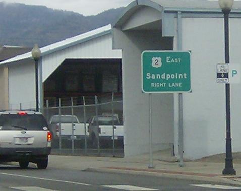
MP: 334.29
Location: N Union Ave and W Pine St, Newport
These advance turn on a post signs don’t show up too often in Washington but are very frequent in Idaho which is only 4 blocks away. The sign is definitely a WSDOT sign, however
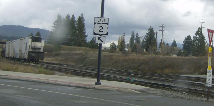
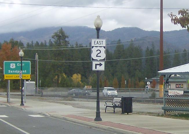
MP: 334.31
Location: N Union Ave and N Spruce St, Newport
Right lane only for 2 east, whicih heads another 2 blocks before ending up in the great state of Idaho
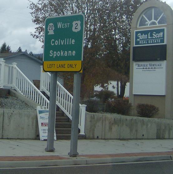
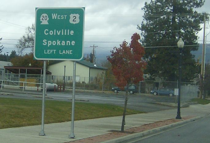
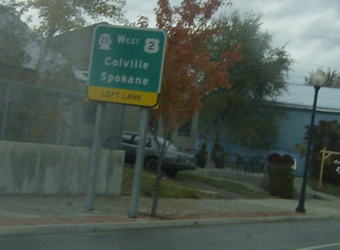
MP: 334.32
Location: N Union Ave and N Spruce St, Newport
Remain in the left lane for SR 20 west which heads clear across the state to US-101 at Port Townsend (the longest highway in the state) or for a return to US-2 west
 E to SR 41/ID-41/ID State Line, W to SR 206