

Location: SR-12 and SR-24, Wayne Cty
No reassurance shield as the route begins, but it’s easy to tell you’re headed in the right direction, no matter where it is you are planning to go.
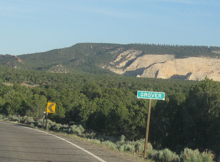
Location: SR-12 and Grover Rd, Grover, Wayne Cty
A couple miles after the route begins, we’ll approach unincorporated Grover
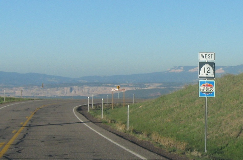
Location: SR-12 and Grover Rd, Wayne Cty
Reassurance shield as we head out of Grover
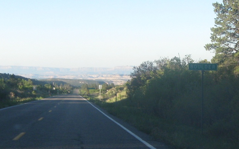
Location: SR-12 and Boulder Rd, Boulder
As we approach the Escalante Canyon area, we’ll enter the little town of Boulder
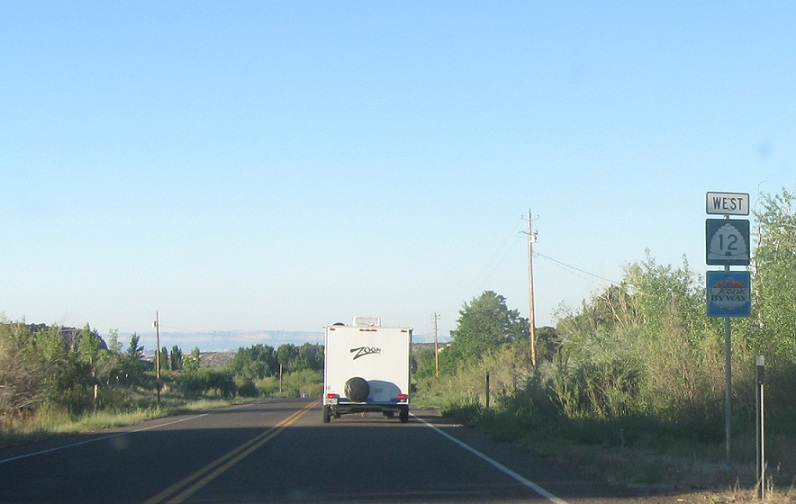
Location: SR-12 and Lower Boulder Rd, Boulder
Reassurance shield as we pass through Boulder
Location: SR-12 and Boulder Rd, Garfield Cty
Reassurance shield as we head out of Boulder
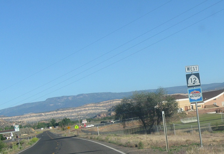
Location: SR-12 and Hell’s Backbone Rd, Garfield Cty
Reassurance shield after the turnoff to Hell’s Backbone
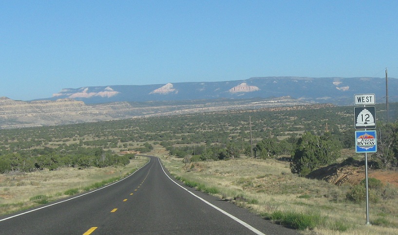
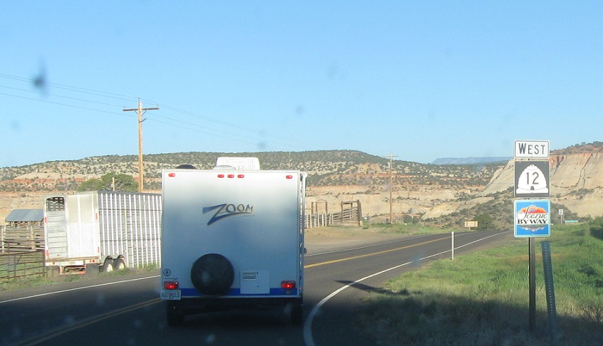
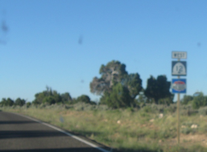
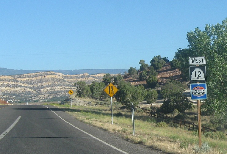
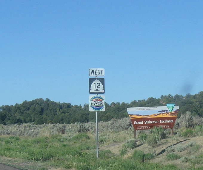
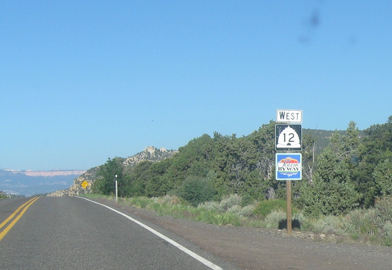
Location: SR-12 and Hole-in-the-Rock Rd, Garfield Cty
Reassurance shield as we pass through Escalante Canyon. I’m not much of a scenery photographer, so google Escalante Canyon to see some pretty cool stuff. My road sign photos don’t come close to doing this route justice- this is a road you drive because you like things that are awesome, not just because you’re a road enthusiast.
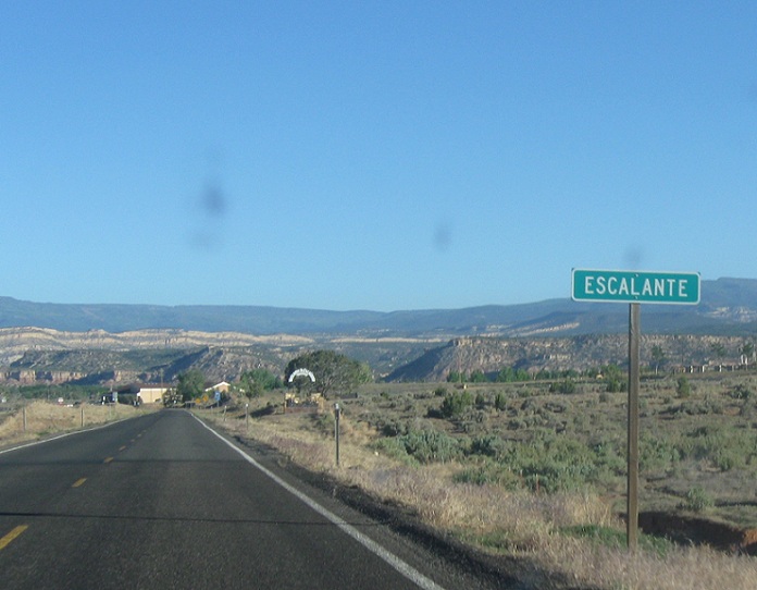
Location: SR-12 and 300 S, Escalante
A couple miles later, we’ll enter the town of Escalante
Location: SR-12 and 500 W, Escalante
Reassurance shield as we start to head out of town
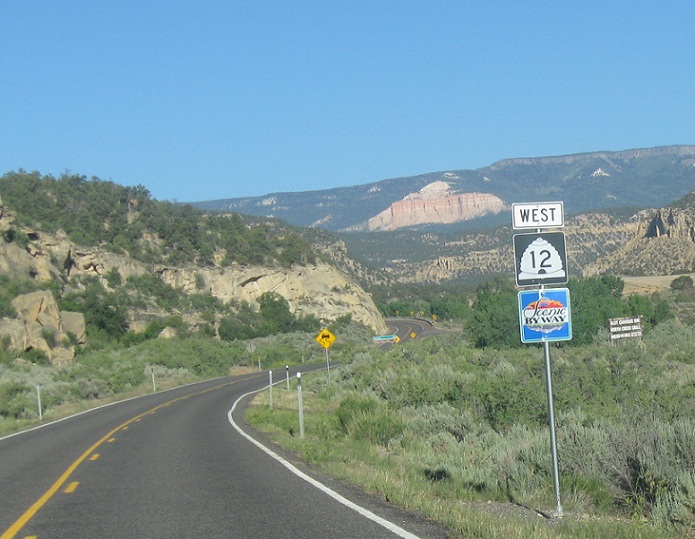
Location: SR-12 and Reservoir Rd, Garfield County
Reassurance shield as we head out of Escalante
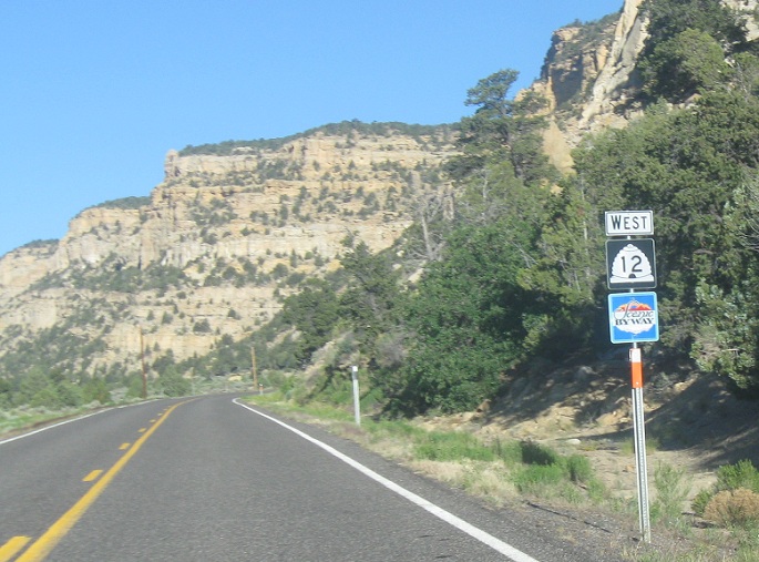
Location: SR-12 and North Creek Rd, Garfield Cty
Reassurance shield just before the turnoff to North Creek
Location: SR-12 and North Creek Rd, Garfield Cty
Reassurance shield about a mile after North Creek Rd
Location: SR-12 and Allen Canyon Rd, Garfield Cty
Reassurance shield as we briefly leave and re-enter the National Monument area
Location: SR-12 and Canaan Peak Rd, Garfield Cty
Reassurance shield after a road down Canaan Peak
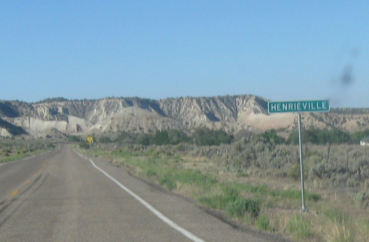
Location: Main St and 100 E, Henrieville
A couple miles later, we’ll enter the little town of Henrieville
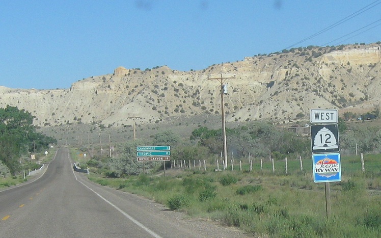
Location: SR-12 and 100 W, Garfield Cty
Reassurance shield as we head out of Henrieville
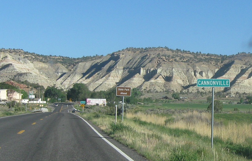
Location: SR-12 and Kodachrome Way, Cannonville
A couple miles later, we’ll enter Cannonville
Location: SR-12 and Red Rock Dr, Garfield Cty
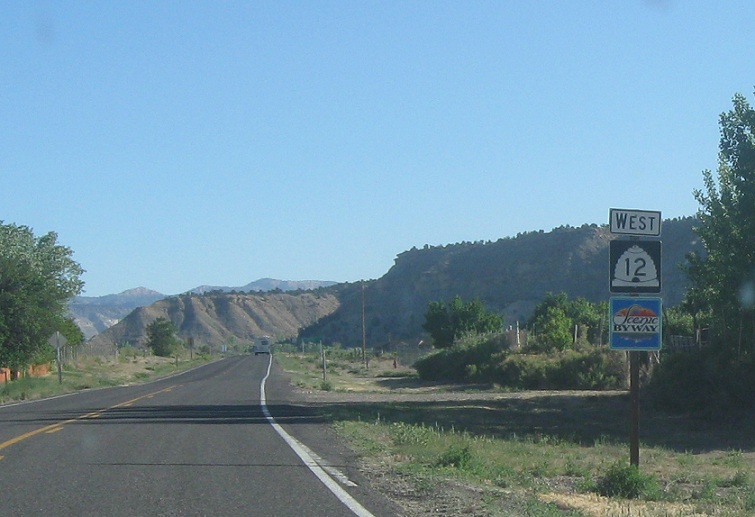
Reassurance shield after Cannonville and the turnoff to Kodachrome State Park, probably the only state park in the nation named after a commercial product
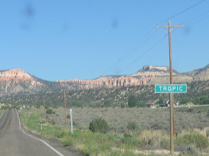
Location: Main St and 100 S, Tropic
A couple miles later, we’ll enter Tropic
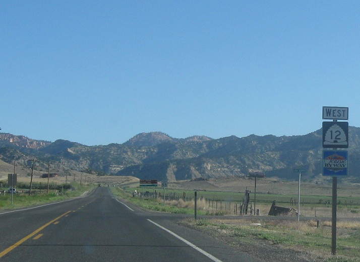
Location: Main St and 200 N, Tropic
Reassurance shield as we head out of Tropic
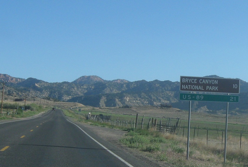
Location: SR-12 and 200 N, Garfield Cty
21 miles to US-89, 10 miles to Bryce Canyon via SR-63
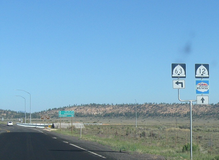
Location: SR-12 and SR-63, Garfield Cty
A couple miles later, we’ll approach SR-63, which goes to Bryce Canyon
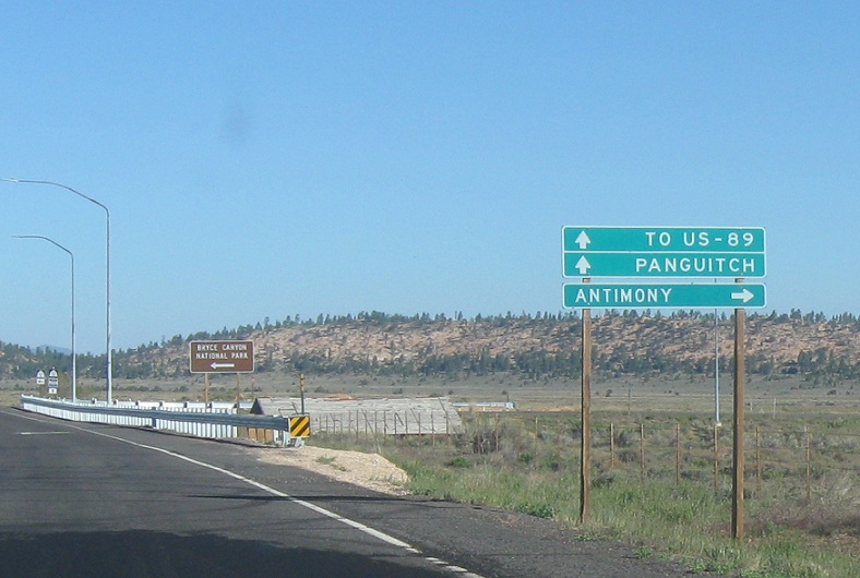
Location: SR-12 and SR-63, Garfield Cty
Turn right for a backroad up to Antimony. Follow 12 to US-89 and Panguitch.
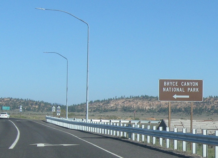
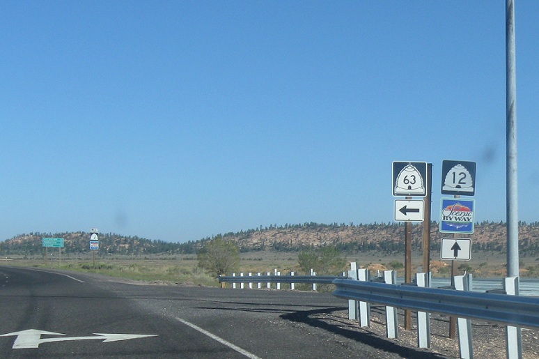
Location: SR-12 and SR-63, Garfield Cty
Turn left for Bryce Canyon via SR-63
Location: SR-12 and SR-63, Garfield Cty
Stay straight for 12 west. Turn left for 63 south.

 S to Bryce Canyon Nat’l Park
 E to UT-95, W to UT-72
