
Last Driven March 2021
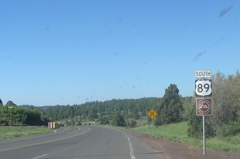
Location: US-89 and SR-14, Kane Cty
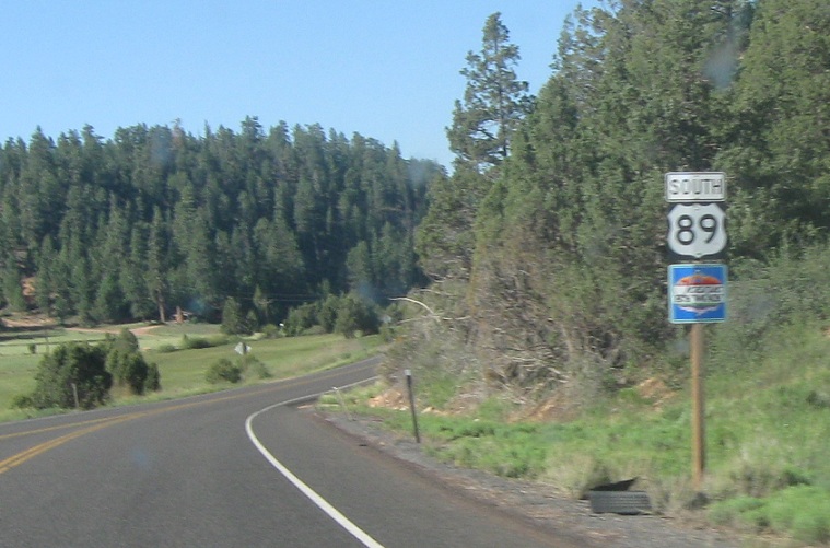
Reassurance shield after the 14 junction
(Historic Photo: May 2012)
Location: US-89 and Lydia’s Canyon Rd, Kane Cty
Reassurance shield a couple miles later
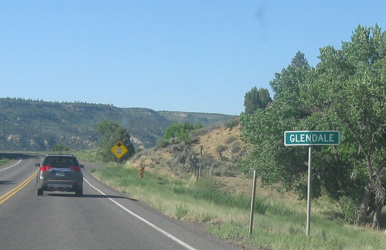
Location: US-89 and Glendale Bench Rd, Glendale, Kane Cty
A couple miles later, we’ll enter Glendale
(Historic Photo: May 2012)
Location: US-89 and 300 S, Kane Cty
Reassurance shield as we head out of Glendale
(Historic Photo: May 2012)
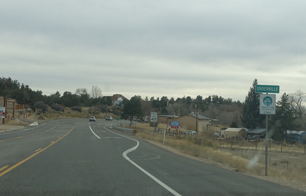
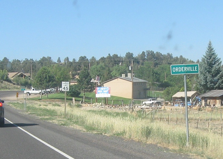
Location: State St and 100 N, Orderville
A few miles later, we’ll enter Orderville
(Historic Photo: May 2012)
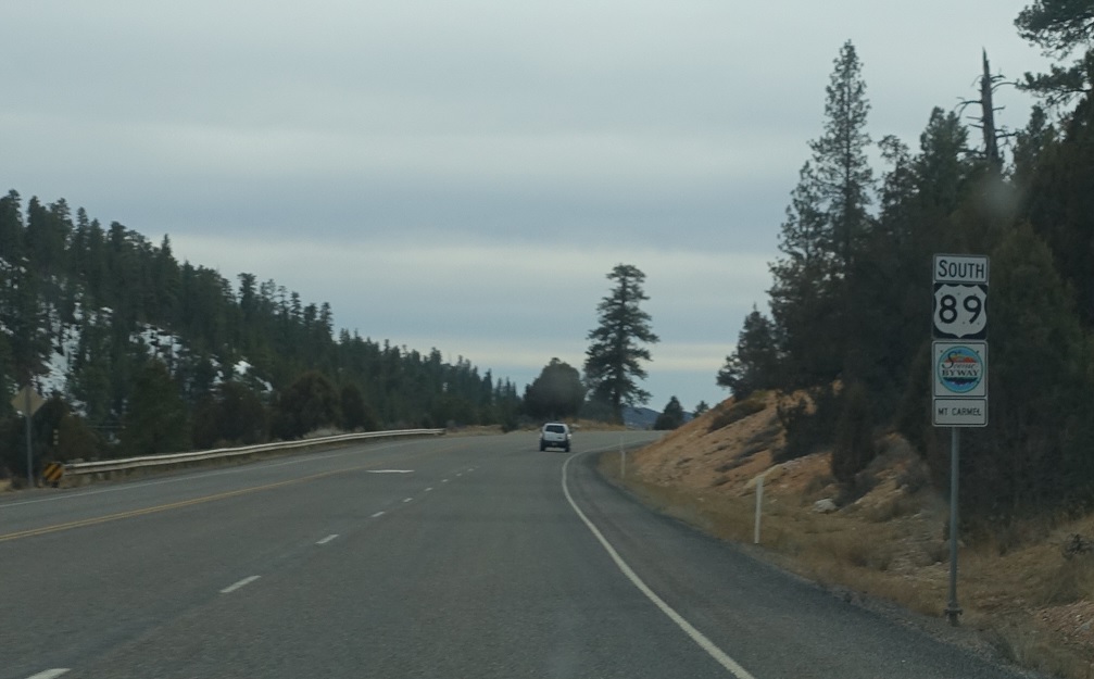
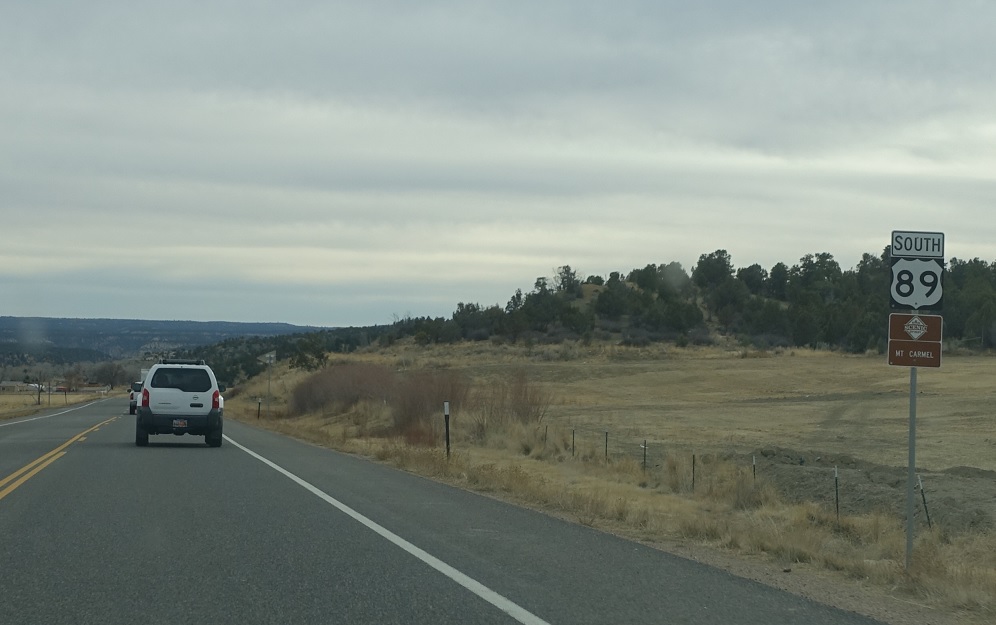
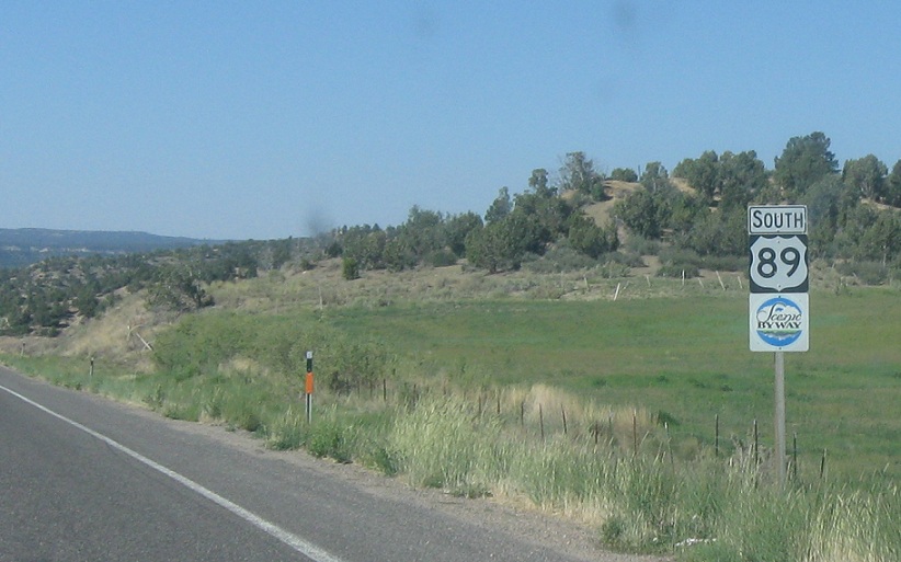
Location: US-89 and 100 S, Kane Cty
Reassurance shield as we head out of Orderville
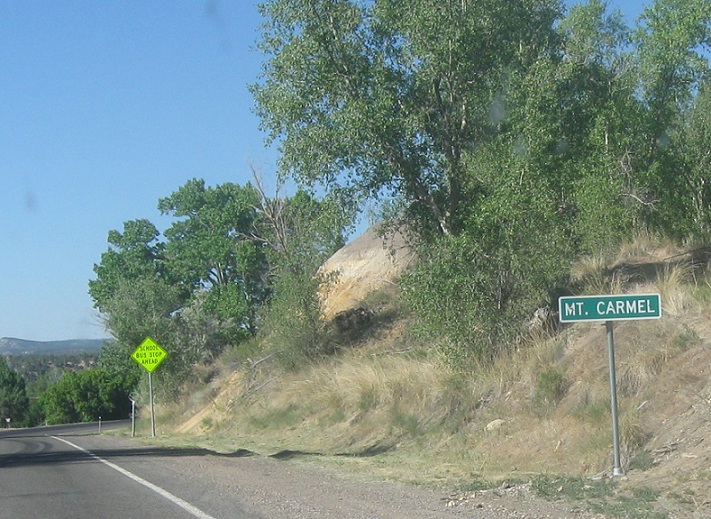
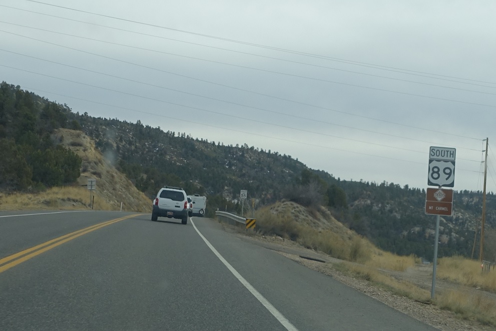
Location: US-89 and 2500 S, Mt Carmel
A few miles later, we’ll enter Mt. Carmel
(Historic Photo: May 2012)
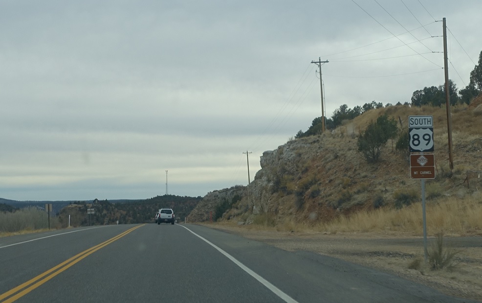
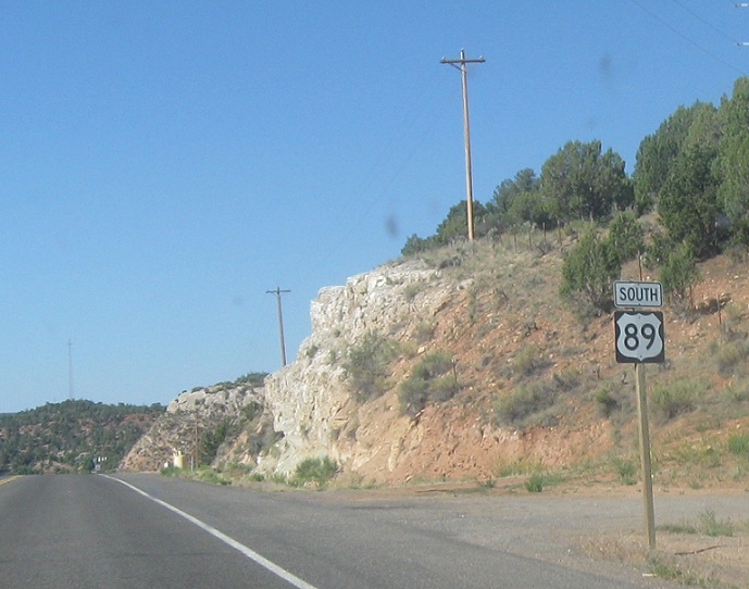
Location: US-89 and 2500 S, Kane Cty
Reassurance shield as we head out of Mt Carmel
(Historic Photo: May 2012)
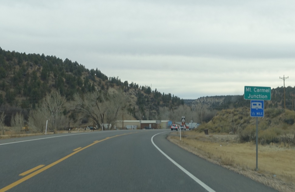
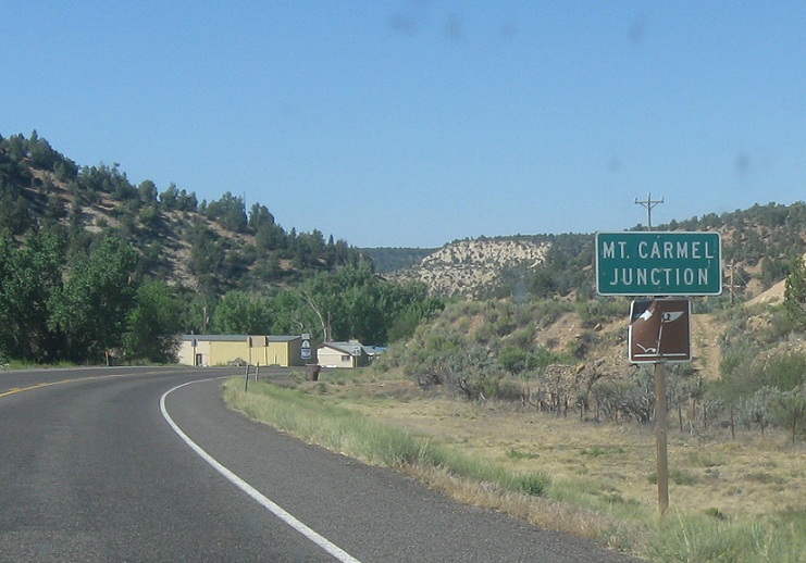
Location: US-89 and SR-9, Mt Carmel Junction
A few miles later, we’ll approach Mt Carmel Junction
(Historic Photo: May 2012)
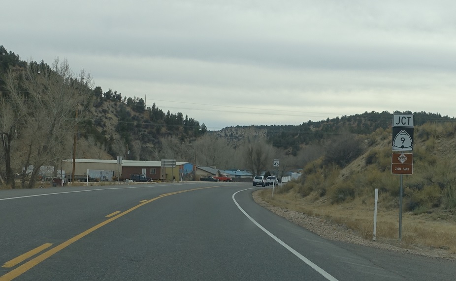
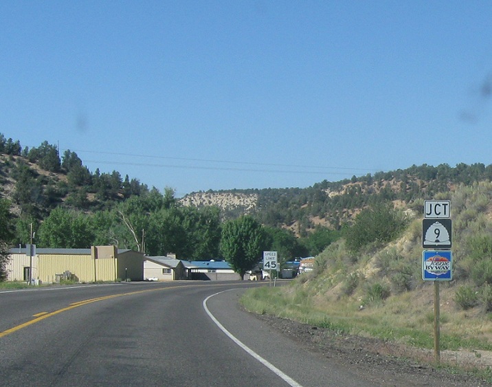
Location: US-89 and SR-9, Kane Cty
Junction SR-9 coming right up
(Historic Photo: May 2012)
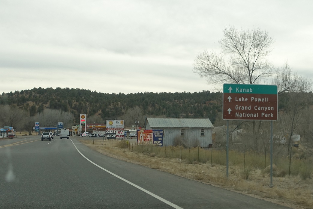
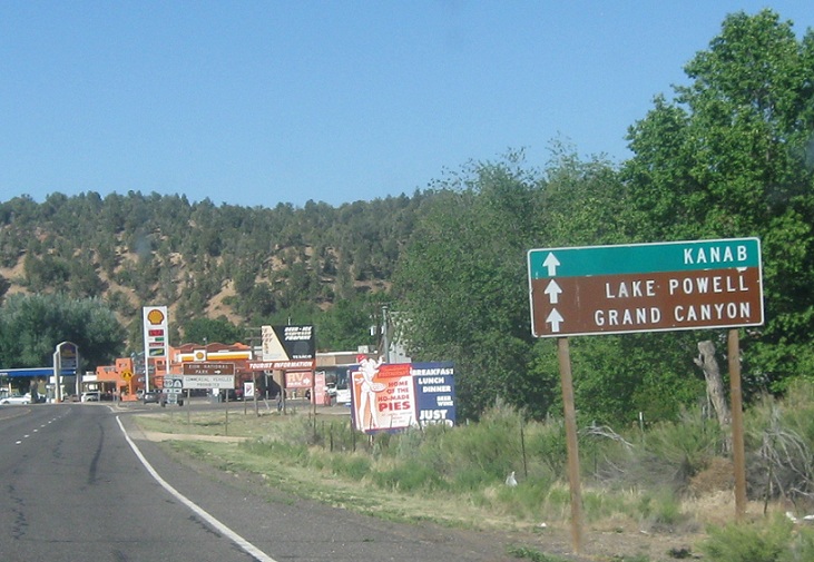
Location: US-89 and SR-9, Kane Cty
Stay straight for 89 towards Kanab, Lake Powell, and the Grand Canyon
(Historic Photo: May 2012)
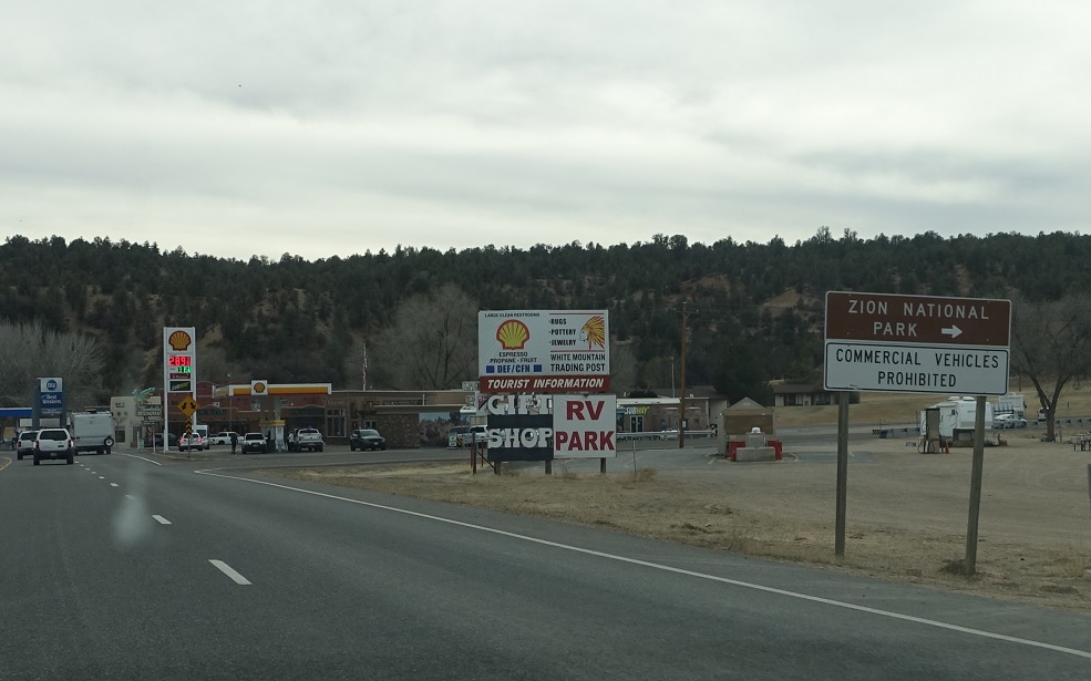
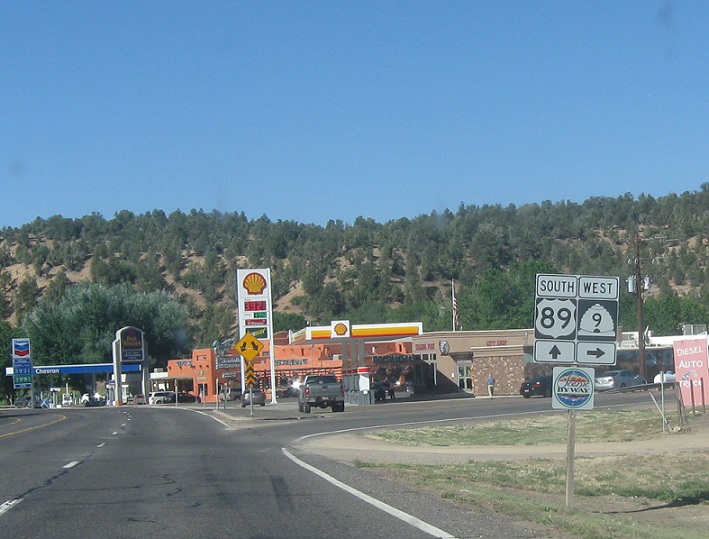
Location: US-89 and SR-9, Kane Cty
Turn right for SR-9, which goes right into Zion National Park. Stay straight for 89 south. There used to be shields here but there are shields no more. 🙁


 W to SR-148
