
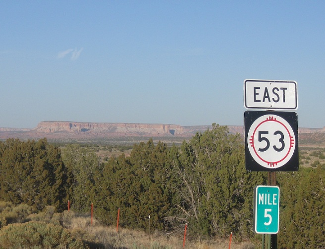
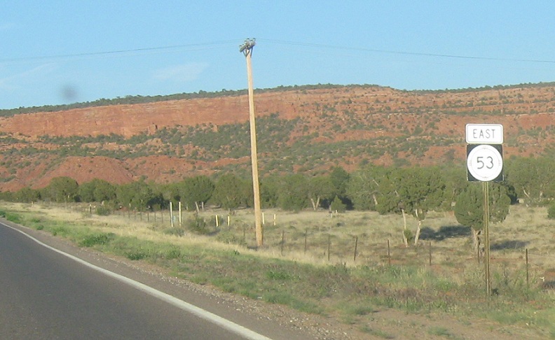
Location: SR-53 and Indian Rd, McKinley Cty
We’ll finally get a 53 shield five miles into New Mexico. The highway heads east, eventually meeting I-40 in Grants

Location: SR-53 and Ruins Rd, Zuni
A few miles later, we’ll enter the pueblo of Zuni
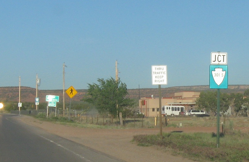
Location: SR-53 and BIA 301S, Zuni
As we pass through Zuni, we’ll approach BIA 301S
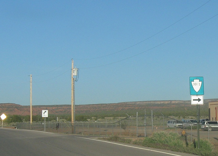
Location: SR-53 and BIA 301S, Zuni
Turn right for Indian 301S
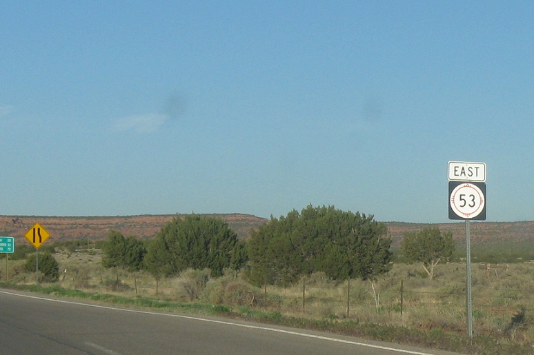
Location: SR-53 and BIA 301S, McKinley Cty
Reassurance shield after the 301S junction
Location: SR-53 and Main St, McKinley Cty
Reassurance shield after the little community of Black Rock just east of Zuni
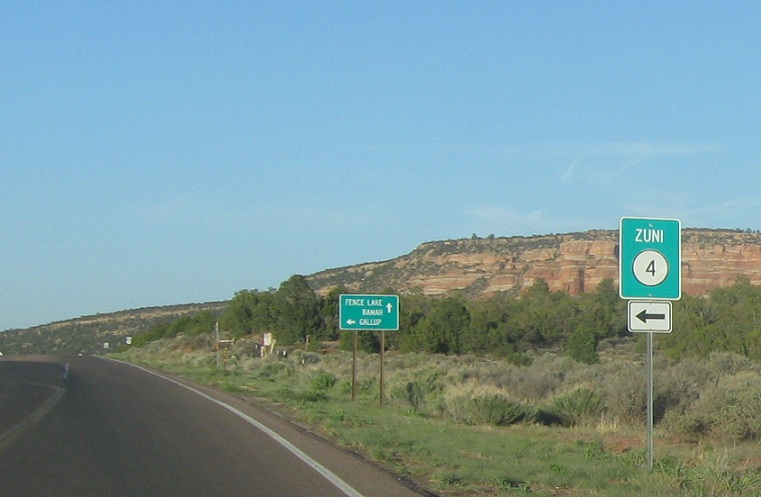
Location: SR-53 and BIA 4, McKinley Cty
Turn left for Indian 4, signed as State Road 4 with a Zuni banner over it for some reason. BIA 4 is a shortcut to 602 north and Gallup
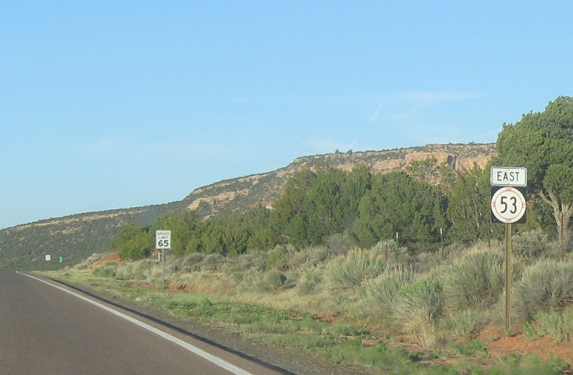
Location: SR-53 and BIA 4, McKinley Cty
Reassurance shield after Indian 4
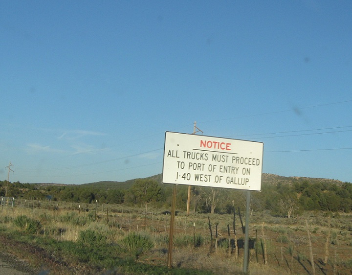
Location: SR-53 and SR-602, McKinley Cty
As we approach 602, we’re advised that trucks should take it, as that’s the only way to get to the I-40 POE
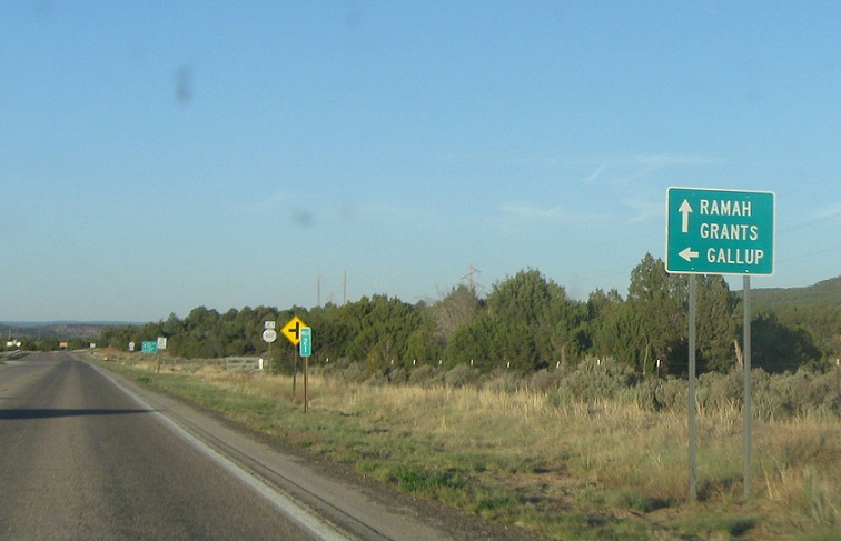
Location: SR-53 and SR-602, McKinley Cty
Follow 602 north to Gallup. Stay on 53 for Ramah and Grants.
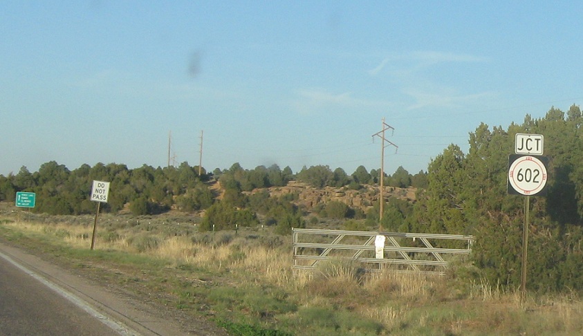
Location: SR-53 and SR-602, McKinley Cty
A bit late, but here’s the junction sign
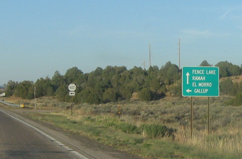
Location: SR-53 and SR-602, McKinley Cty
Stay on 53 for Fence Lake and El Morro, as well.
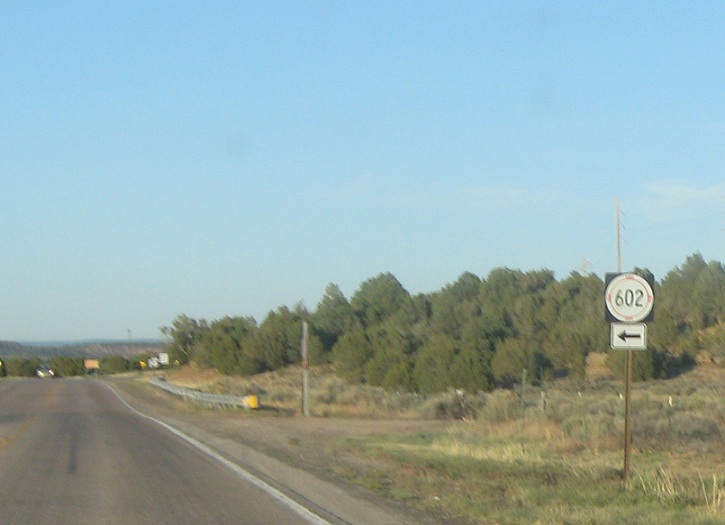
Location: SR-53 and SR-602, McKinley Cty
Turn left for 602 north.
 E to NM-36


