
Last Driven February 2021
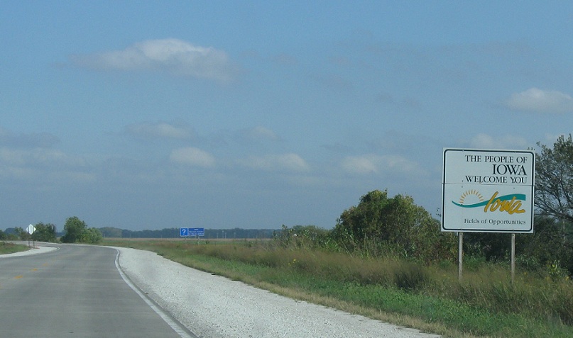
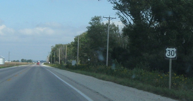
Location: US-30 at the Nebraska Line, Harrison Cty
Welcome to Iowa!
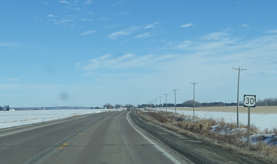
Location: US-30 at the Nebraska Line, Harrison Cty
Reassurance shield as we enter the Hawkeye State.
(Historic Photo: October 2010)
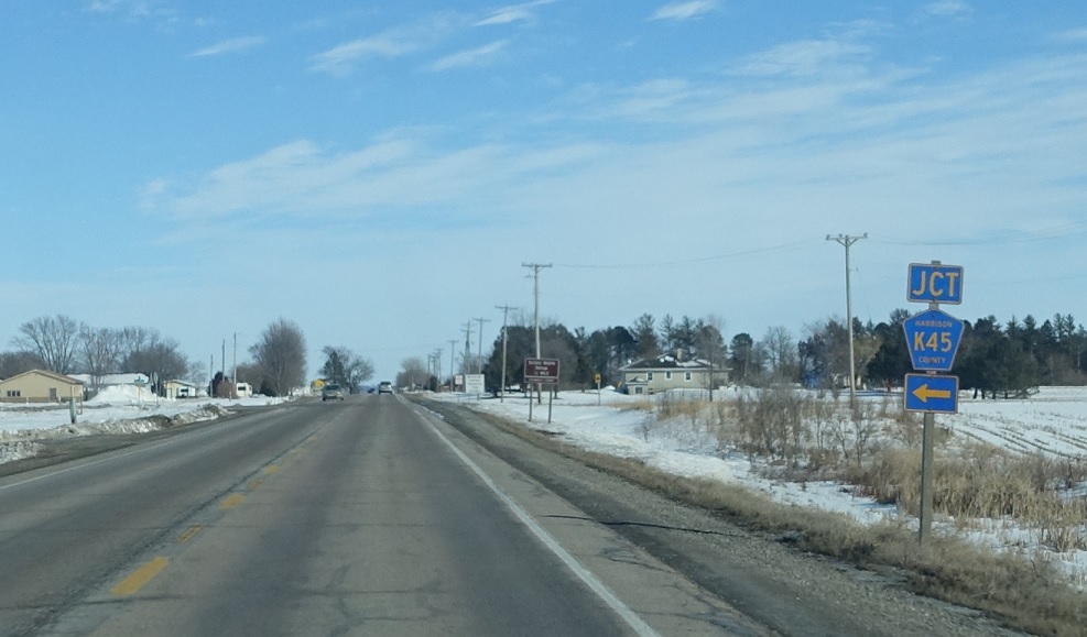
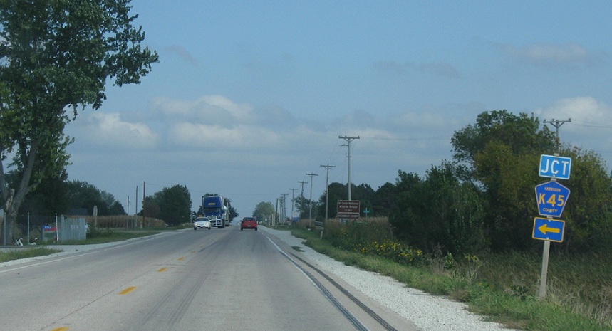
Location: US-30 and CR K45, Harrison Cty
About a mile after the state line, we’ll approach Route K45
(Historic Photo: October 2010)
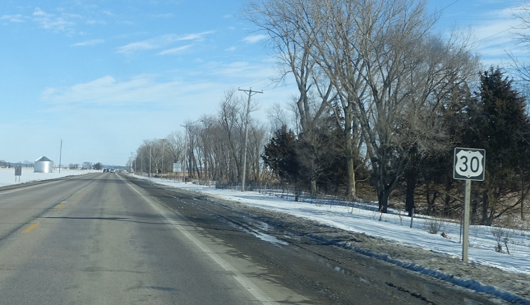
Location: US-30 and CR K45, Harrison Cty
Reassurance shield after K45
(Historic Photo: October 2010)
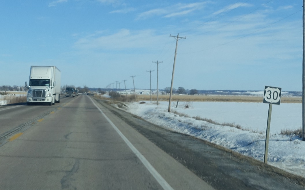
Location: US-30 and Desoto Ave, Harrison Cty
Reassurance shield after another county road that heads town to the multi-state Desoto Wildlife Refuge. The way the Missouri River is coursed, we’re actually just north of a Nebraska exclave right now, formed by the oxbowing of the Missouri River
(Historic Photo: October 2010)
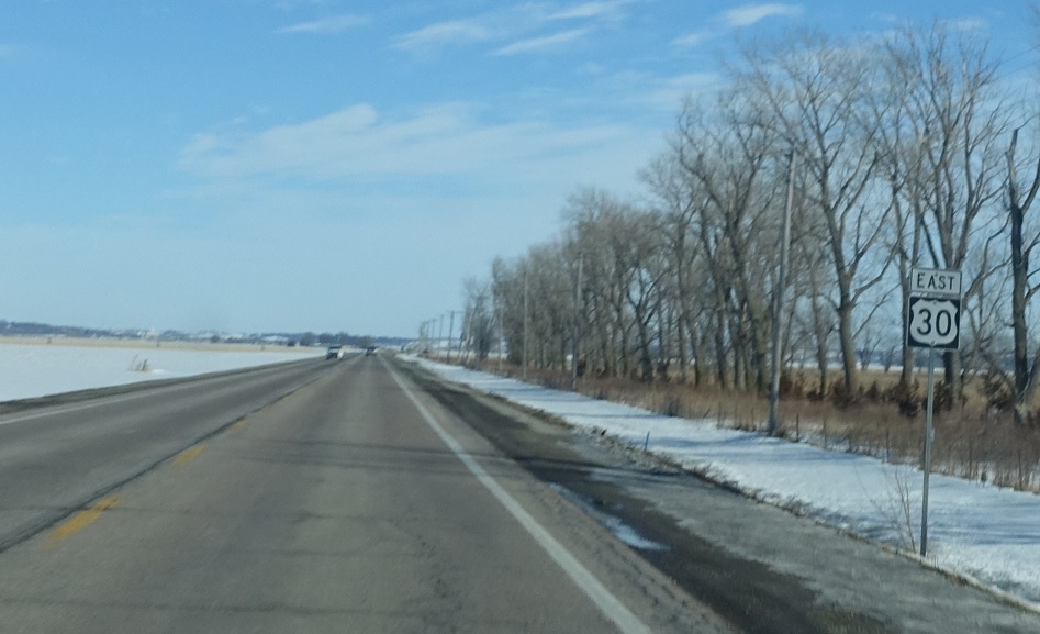
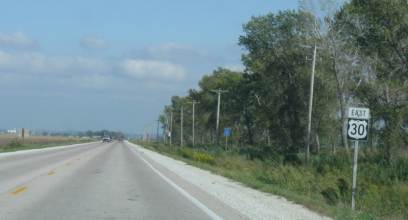
Location: US-30 and Fremont Ave, Harrison Cty
Reassurance shield after the turnoff to the little settlement of Fremont
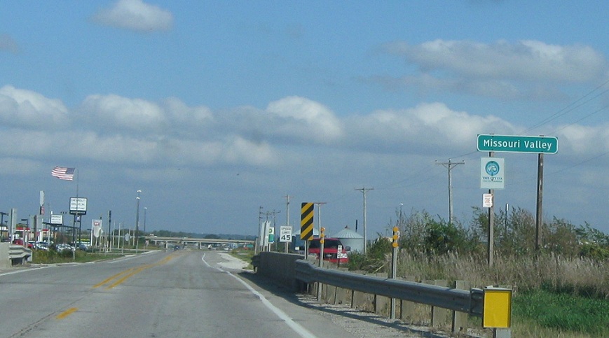
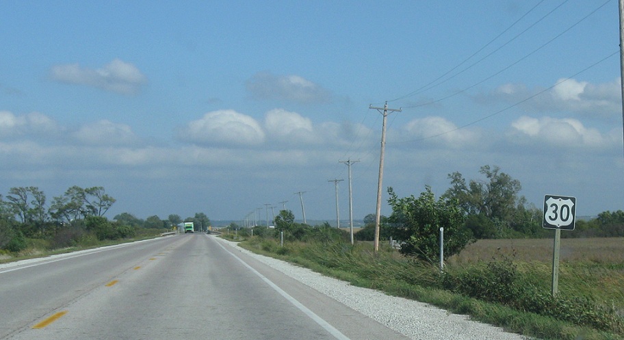
Location: US-30 and Italy Ave, Missouri Valley
A few miles later, we’ll approach the town of Missouri Valley, a town I have envisioned myself moving to for years
Location: US-30 and Italy Ave, Missouri Valley
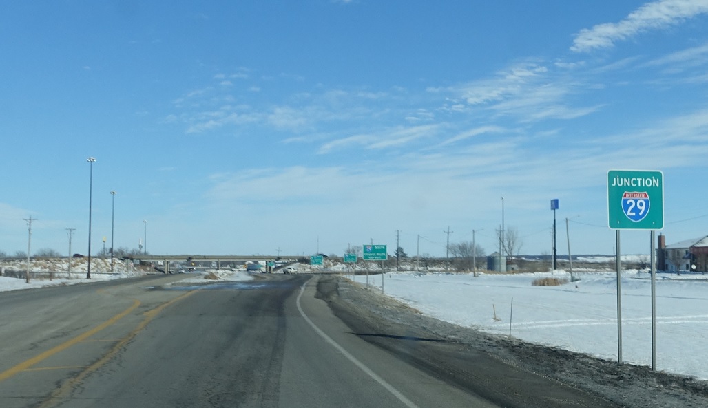
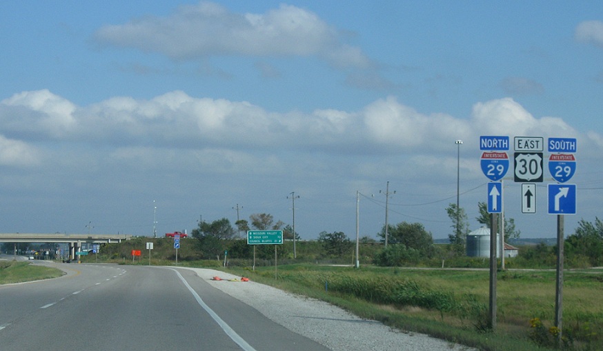
Just ahead, we’ll approach Interstate 29.
(Historic Photo: October 2010)
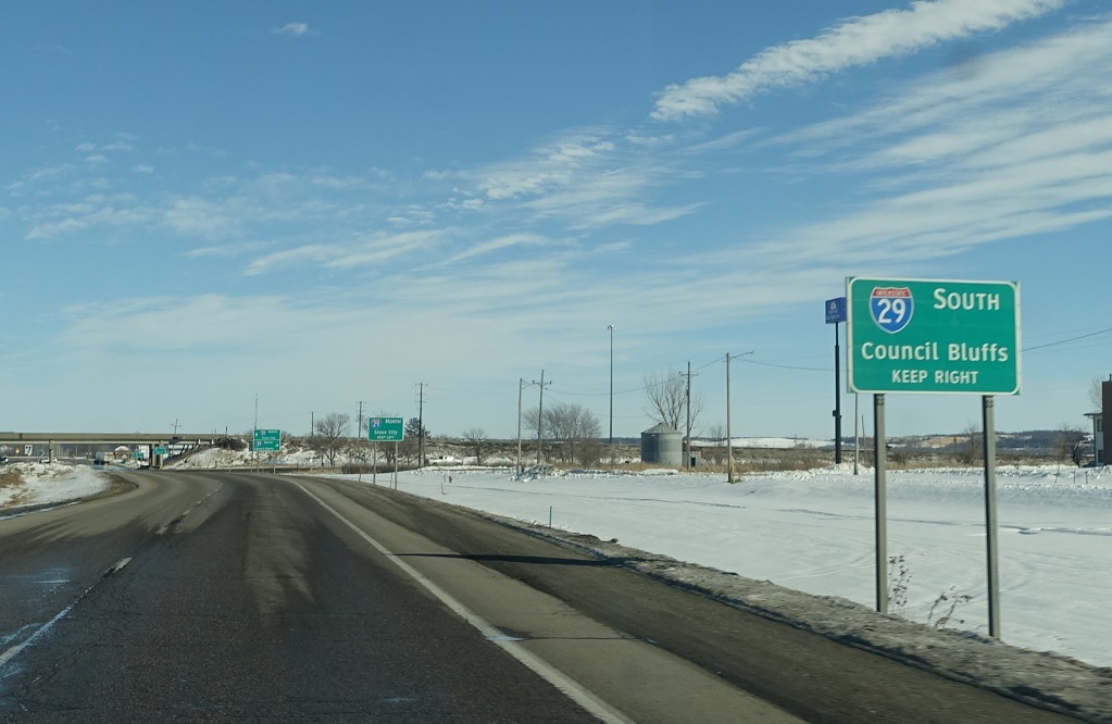
Location: US-30 and I-29, Missouri Valley
Follow I-29 south to Counciltucky.
(Historic Photo: October 2010)
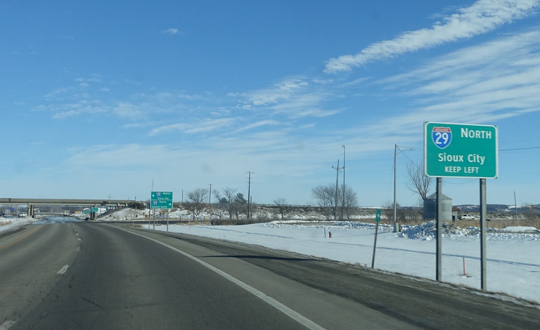
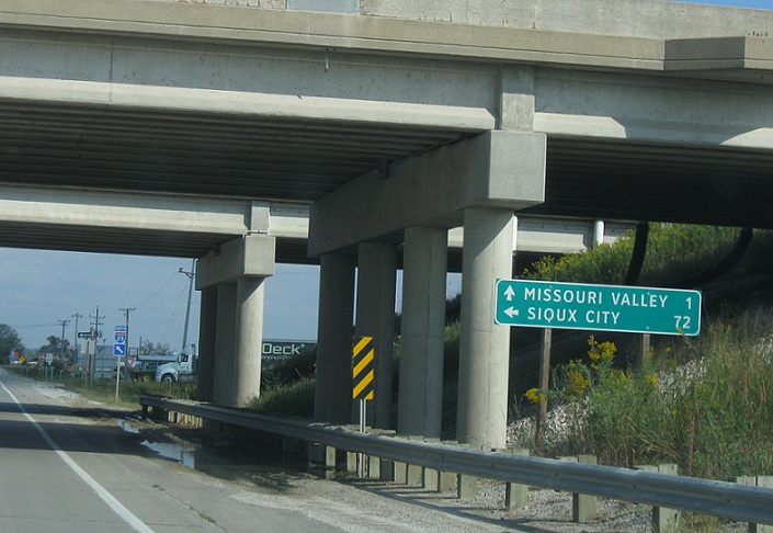
Location: US-30 and I-29, Missouri Valley
I-29 north heads to Sioux City.
(Historic Photo: October 2010)
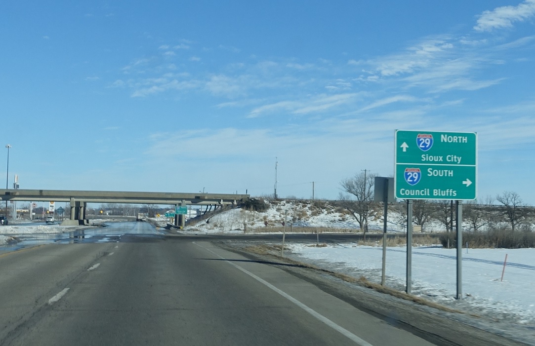
Location: US-30 and I-29, Missouri Valley
Turn right for I-29 south to Council Bluffs. Stay straight for I-29 north to Sioux City.
Location: US-30 and I-29, Missouri Valley
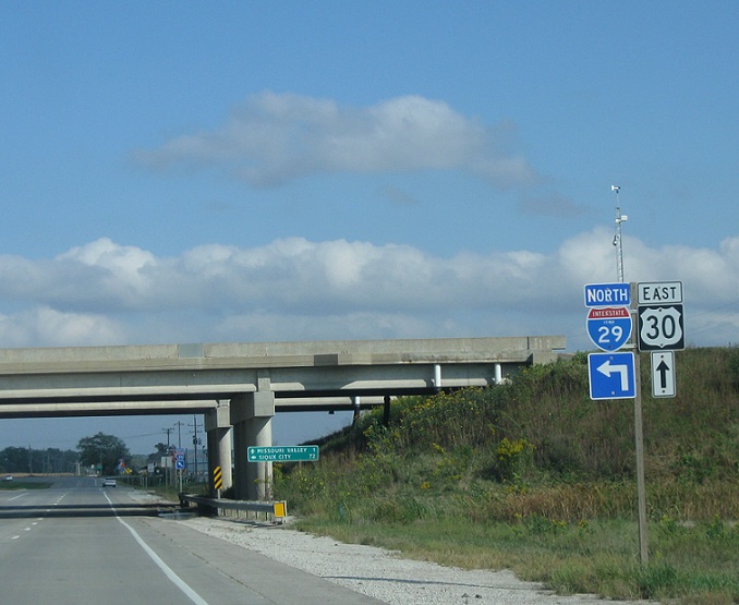
Turn left for I-29 North up here and stay straight for 30 east
Location: US-30 and I-29, Missouri Valley
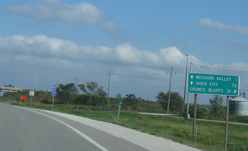
Follow 30 to downtown and I-29 north to Sioux City

Location: US-30 and I-29, Missouri Valley
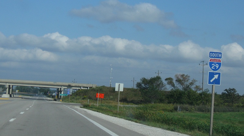
Turn left for I-29 north

 S to I-880, N to IA-127
