
Last Driven January 2021
(Historic Photo: March 2010)
Location: Edison St and Colorado Ave, Brush
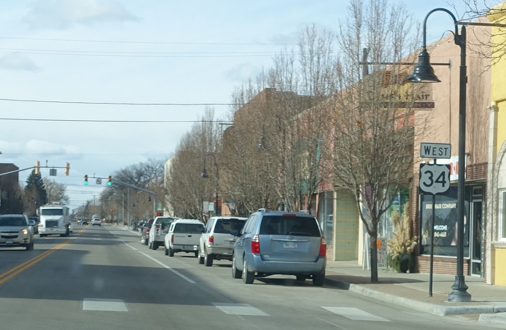
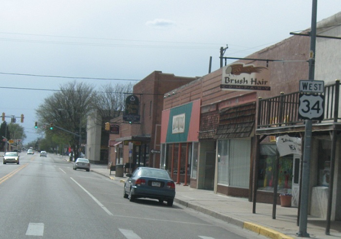
Reassurance shield after the SH-71 split as we head through downtown Brush
(Historic Photo: March 2010)
Location: Edison St and Turner St, Brush
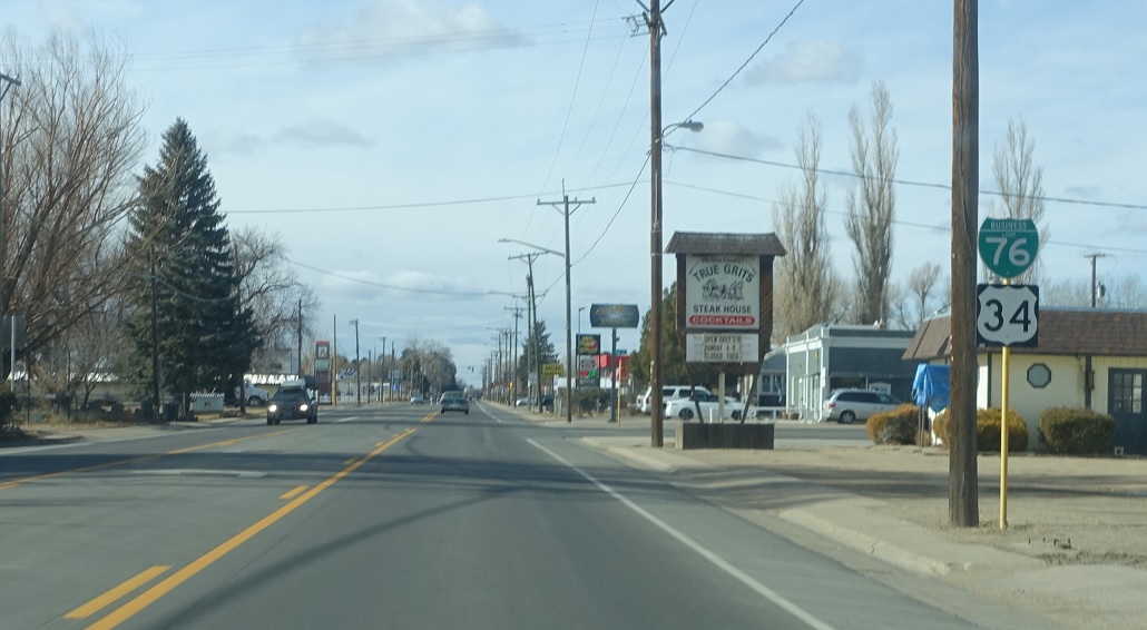
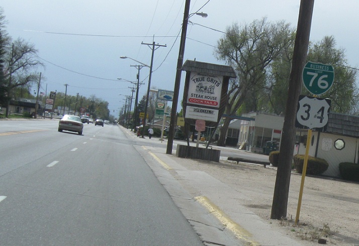
Reassurance shield as we pass out of Brush, this one acknowledging the old business loop
(Historic Photo: March 2010)
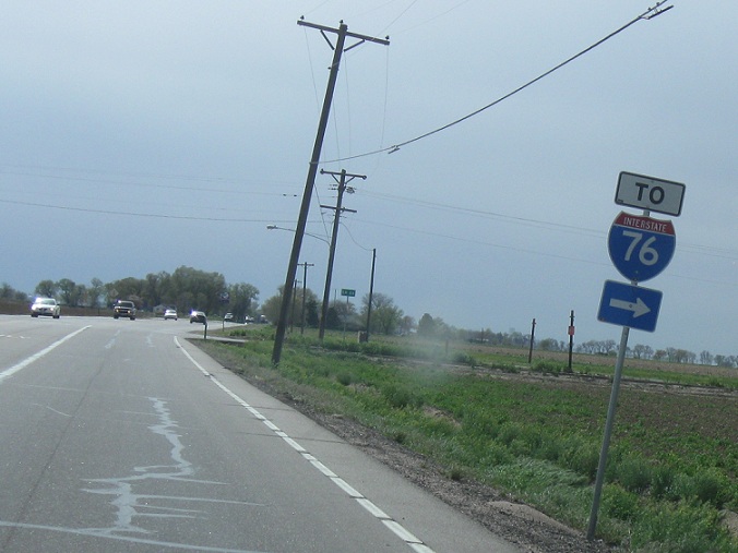
Location: Edison St and CR 27, Brush
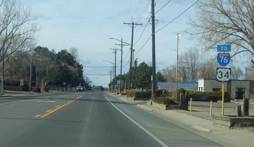
As we head out of the main part of Brush, you can turn right for CR 27 which heads up to I-76
Location: US-34 and CR 27, Morgan Cty
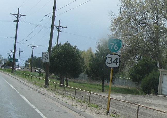
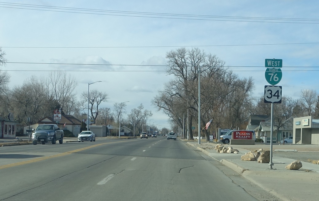
Reassurance shield acknowledging the business loop as we head out of Brush
Location: US-34 and CR 24, Morgan Cty
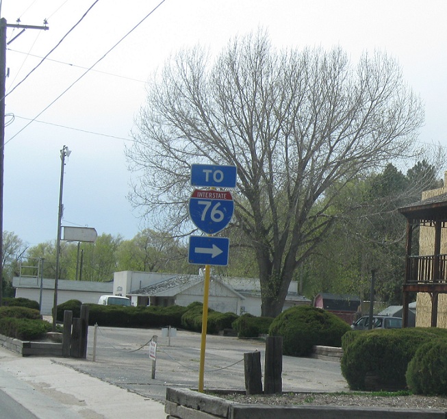
If you like white directionals, you can take CR 24 up to I-76
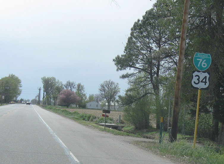
Location: US-34 and CR 24, Morgan Cty
The business loop is quite well signed in rural areas but not so much in urban areas, which is slightly ironic. Fortunately it is decommissioned so all these green signs should eventually disappear.
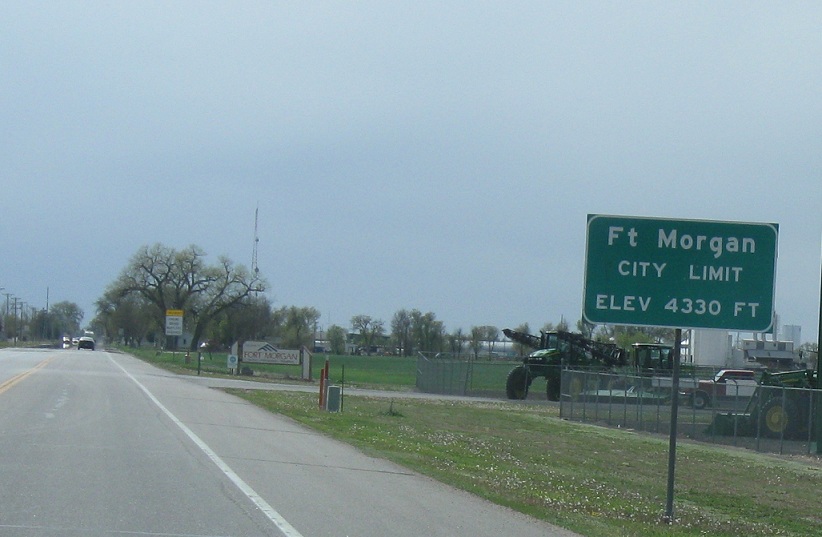
Location: Platte Ave and CR 20, Fort Morgan
A few miles later and we’ll enter Fort Morgan
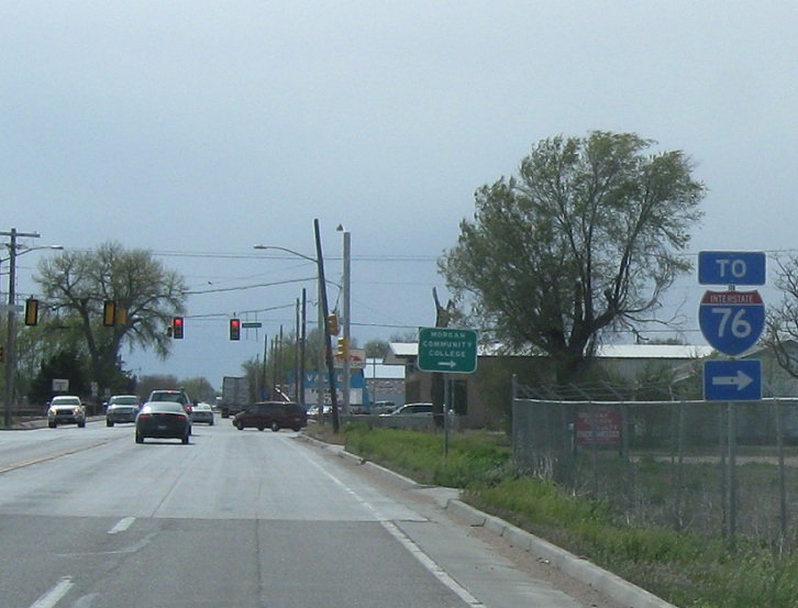
Location: Platte Ave and CR 20, Fort Morgan
Follow CR 20 up to I-76, if you so desire
(Historic Photo: March 2010)
Location: Platte Ave and CR 20, Fort Morgan
Reassurance shield after CR 20 as we really enter Fort Morgan.
Location: Platte Ave and Sherman St, Fort Morgan
Another reassurance shield a few blocks later.
Location: Platte Ave and State St, Fort Morgan
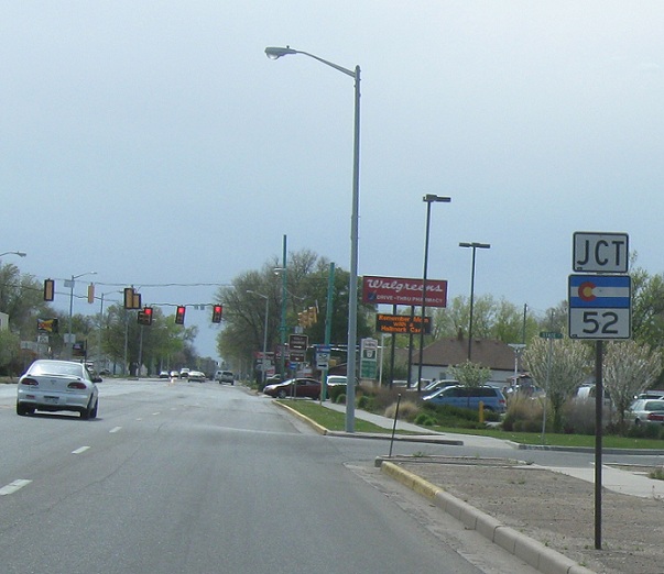
A few blocks later and we’ll get to junction SH-52
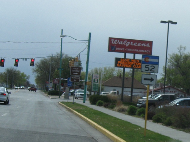
Location: Platte Ave and Main St, Fort Morgan
Turn right for SH-52 North, which heads to I-76 and Raymer. If Colorado acknowledged concurrencies, SH-52 would run with US-34 west for about 17 miles via I-76 before splitting off again, but no such luck and this becomes the southern terminus of the eastern segment


