
Last Driven January 2021
Location: US-30 and L-51A, Keith Cty
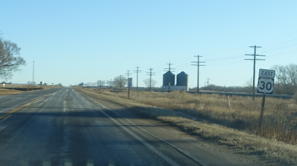
Reassurance shield after Link 51A as we head out of Brule
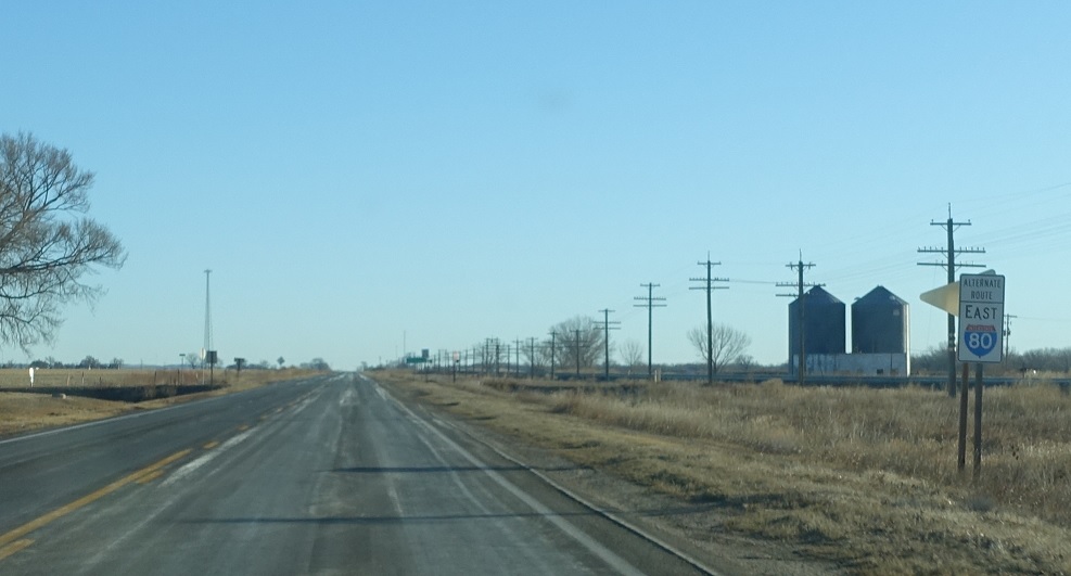
Location: US-30 and L-51A, Keith Cty
Alternate I-80 signage as we head out of Brule
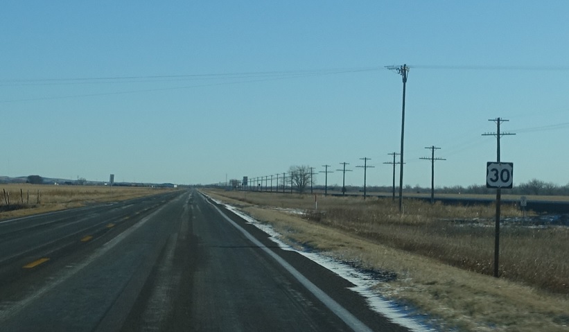
Location: US-30 and Rd E, Keith Cty
Reassurance shield after a random county road
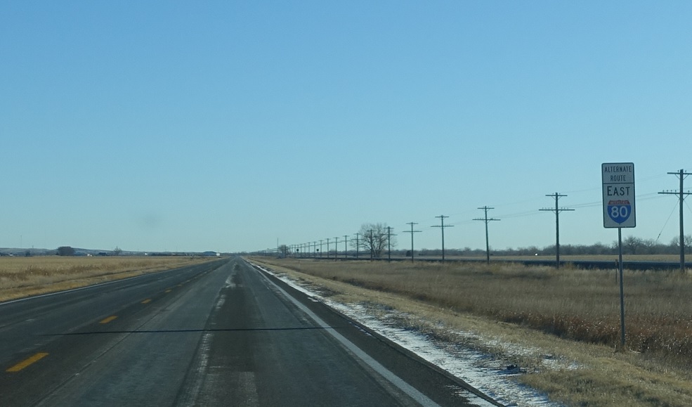
Location: US-30 and Rd E, Keith Cty
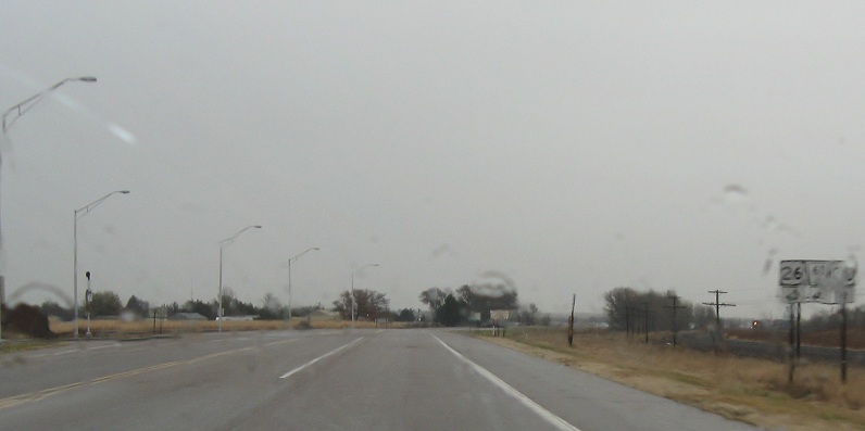
Alt 80 reassurance shield after the last US 30 shield.
(Historic Photo: October 2009)
Location: US-30 and US-26, Keith Cty
Former junction signage for US-26/N-61 – which they removed but did not replace.
Location: US-30 and US-26, Keith Cty
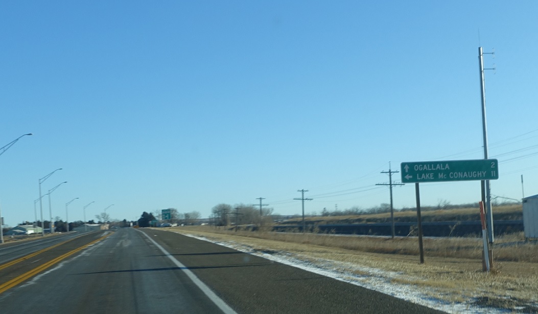
Junction US-26/N-61 coming up. US-26 and 30 east and N-61 south will head together into downtown Ogallala, while 26 west and 61 north will head away from town. Stay straight for Ogallala, left for Lake McConoughay
(Historic Photo: October 2009)
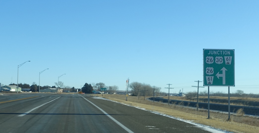
Location: US-30 and US-26, Keith Cty
Left for 26 west/61 north, straight for 26/30 east/61 south


